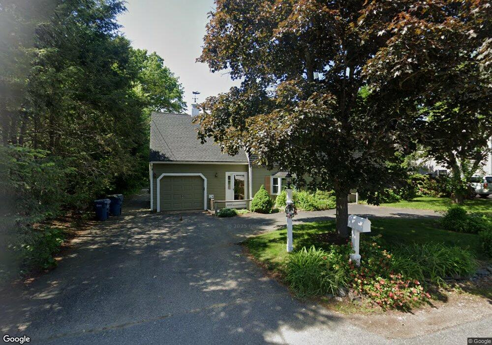
9 Cedarcrest Rd Canton, MA 02021
Estimated Value: $950,000 - $1,001,000
4
Beds
3
Baths
2,580
Sq Ft
$377/Sq Ft
Est. Value
About This Home
This home is located at 9 Cedarcrest Rd, Canton, MA 02021 and is currently estimated at $972,060, approximately $376 per square foot. 9 Cedarcrest Rd is a home located in Norfolk County with nearby schools including Canton High School, St. John the Evangelist School, and Beacon Scholastic Academy.
Ownership History
Date
Name
Owned For
Owner Type
Purchase Details
Closed on
Feb 28, 2006
Sold by
Homer Patricia A and Homer Wayne
Bought by
Lenkaitis-Thompson K and Thompson Sean
Current Estimated Value
Home Financials for this Owner
Home Financials are based on the most recent Mortgage that was taken out on this home.
Original Mortgage
$388,000
Outstanding Balance
$219,282
Interest Rate
6.17%
Mortgage Type
Purchase Money Mortgage
Estimated Equity
$752,778
Purchase Details
Closed on
Sep 28, 1988
Sold by
Higley Ex Herbert W
Bought by
Homer Wayne
Home Financials for this Owner
Home Financials are based on the most recent Mortgage that was taken out on this home.
Original Mortgage
$120,000
Interest Rate
10.66%
Mortgage Type
Purchase Money Mortgage
Create a Home Valuation Report for This Property
The Home Valuation Report is an in-depth analysis detailing your home's value as well as a comparison with similar homes in the area
Home Values in the Area
Average Home Value in this Area
Purchase History
| Date | Buyer | Sale Price | Title Company |
|---|---|---|---|
| Lenkaitis-Thompson K | $485,000 | -- | |
| Homer Wayne | $150,000 | -- |
Source: Public Records
Mortgage History
| Date | Status | Borrower | Loan Amount |
|---|---|---|---|
| Open | Lenkaitis-Thompson K | $388,000 | |
| Previous Owner | Homer Wayne | $235,000 | |
| Previous Owner | Homer Wayne | $177,000 | |
| Previous Owner | Homer Wayne | $180,000 | |
| Previous Owner | Homer Wayne | $120,000 |
Source: Public Records
Tax History
| Year | Tax Paid | Tax Assessment Tax Assessment Total Assessment is a certain percentage of the fair market value that is determined by local assessors to be the total taxable value of land and additions on the property. | Land | Improvement |
|---|---|---|---|---|
| 2025 | $8,368 | $846,100 | $360,400 | $485,700 |
| 2024 | $8,176 | $820,100 | $346,500 | $473,600 |
| 2023 | $7,975 | $754,500 | $346,500 | $408,000 |
| 2022 | $7,652 | $674,200 | $330,000 | $344,200 |
| 2021 | $7,453 | $610,900 | $300,000 | $310,900 |
| 2020 | $7,168 | $586,100 | $285,700 | $300,400 |
| 2019 | $7,090 | $571,800 | $259,700 | $312,100 |
| 2018 | $6,833 | $550,200 | $249,700 | $300,500 |
| 2017 | $6,950 | $543,400 | $244,800 | $298,600 |
| 2016 | $6,831 | $534,100 | $238,800 | $295,300 |
| 2015 | $6,618 | $516,200 | $231,900 | $284,300 |
Source: Public Records
Map
Nearby Homes
- 22 Oakdale Rd
- 42 Oakdale Rd
- 36 Cedarcrest Rd
- 74 Cedarcrest Rd
- 78 Cedarcrest Rd
- 9 Evergreen Cir
- 26 Pequit St
- 865 Washington St Unit 6
- 8 Audubon Way
- 6 Audubon Way Unit 6
- 20 Audubon Way Unit 205
- 20 Audubon Way Unit 302
- 20 Audubon Way Unit 109
- 20 Audubon Way Unit 408
- 20 Audubon Way Unit 210
- 20 Audubon Way Unit 105
- 20 Audubon Way Unit 104
- 20 Audubon Way Unit 101
- 50 Coppersmith Way Unit 211
- 1904 Washington St
- 7 Cedarcrest Rd
- 11 Cedarcrest Rd
- 5 Cedarcrest Rd
- 10 Cedarcrest Rd
- 12 Cedarcrest Rd
- 8 Cedarcrest Rd
- 6 Cedarcrest Rd
- 21 Oakdale Rd
- 8 Chestnut Rd
- 6 Chestnut Rd
- 13 Oakdale Rd
- 20 Birchcroft Rd
- 11 Oakdale Rd
- 23 Oakdale Rd
- 4 Chestnut Rd
- 18 Oakdale Rd
- 22 Birchcroft Rd
- 10 Birchcroft Rd
- 20 Oakdale Rd
- 4 Cedarcrest Rd
Your Personal Tour Guide
Ask me questions while you tour the home.