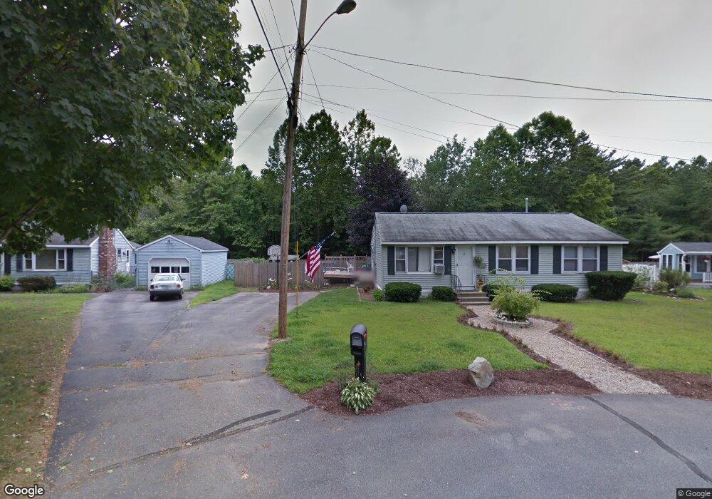
9 Chesapeake Rd Nashua, NH 03062
West Hollis NeighborhoodEstimated Value: $265,000 - $311,000
3
Beds
1
Bath
960
Sq Ft
$291/Sq Ft
Est. Value
About This Home
This home is located at 9 Chesapeake Rd, Nashua, NH 03062 and is currently estimated at $278,895, approximately $290 per square foot. 9 Chesapeake Rd is a home located in Hillsborough County with nearby schools including Main Dunstable School, Elm Street Middle School, and Nashua High School South.
Ownership History
Date
Name
Owned For
Owner Type
Purchase Details
Closed on
Jul 11, 2007
Sold by
Bear Stearns Asset Bac
Bought by
Vincent Christine H and Vincent Ronald A
Current Estimated Value
Purchase Details
Closed on
Oct 30, 2006
Sold by
Patterson Cathy
Bought by
Bear Stearns Asset Bac
Purchase Details
Closed on
May 7, 2001
Sold by
Thibodeau Jeffrey S
Bought by
Patterson Cathy
Purchase Details
Closed on
Jun 2, 1997
Sold by
Lausier Donald R and Lausier Nancy C
Bought by
Thibodeau Jeffrey S
Create a Home Valuation Report for This Property
The Home Valuation Report is an in-depth analysis detailing your home's value as well as a comparison with similar homes in the area
Home Values in the Area
Average Home Value in this Area
Purchase History
| Date | Buyer | Sale Price | Title Company |
|---|---|---|---|
| Vincent Christine H | $113,900 | -- | |
| Bear Stearns Asset Bac | $89,200 | -- | |
| Patterson Cathy | $87,500 | -- | |
| Thibodeau Jeffrey S | $47,000 | -- |
Source: Public Records
Mortgage History
| Date | Status | Borrower | Loan Amount |
|---|---|---|---|
| Open | Thibodeau Jeffrey S | $131,662 | |
| Closed | Thibodeau Jeffrey S | $129,717 | |
| Closed | Thibodeau Jeffrey S | $129,717 |
Source: Public Records
Tax History Compared to Growth
Tax History
| Year | Tax Paid | Tax Assessment Tax Assessment Total Assessment is a certain percentage of the fair market value that is determined by local assessors to be the total taxable value of land and additions on the property. | Land | Improvement |
|---|---|---|---|---|
| 2024 | $2,886 | $181,500 | $0 | $181,500 |
| 2023 | $2,884 | $158,200 | $0 | $158,200 |
| 2022 | $2,859 | $158,200 | $0 | $158,200 |
| 2021 | $2,629 | $113,200 | $0 | $113,200 |
| 2020 | $2,532 | $112,000 | $0 | $112,000 |
| 2019 | $2,431 | $111,700 | $0 | $111,700 |
| 2018 | $2,306 | $108,700 | $0 | $108,700 |
| 2017 | $1,326 | $51,400 | $0 | $51,400 |
| 2016 | $1,289 | $51,400 | $0 | $51,400 |
| 2015 | $1,261 | $51,400 | $0 | $51,400 |
| 2014 | $2,167 | $90,100 | $0 | $90,100 |
Source: Public Records
Map
Nearby Homes
- 4 Chesapeake Rd
- 20 Martha St
- 12 Spring Cove Rd Unit U103
- 40 Spring Cove Rd Unit U117
- 46 Scenic Dr
- 11 Bartemus Trail Unit 204
- 25 Cortez Dr Unit U57
- 5 Plainfield Ln
- 16 Laurel Ct Unit U320
- 76 Bartemus Trail Unit U231
- 47 Dogwood Dr Unit U202
- 599 W Hollis St
- 1014 W Hollis St
- 27 Country Hill Rd Unit U90
- 2 Rene Dr
- 12 Clovercrest Dr
- 8 Althea Ln Unit U26
- 4 Nelson St
- 3 Richmond St
- 334 Broad St