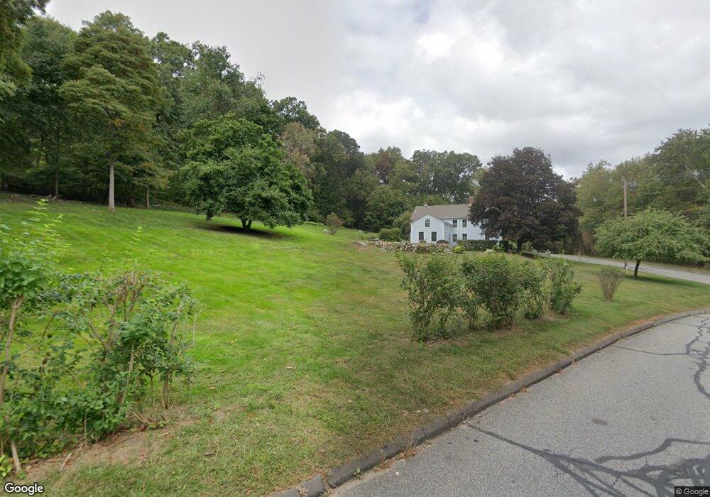
9 Clark Rd Haddam, CT 06438
Estimated Value: $622,366 - $679,000
4
Beds
4
Baths
2,547
Sq Ft
$257/Sq Ft
Est. Value
About This Home
This home is located at 9 Clark Rd, Haddam, CT 06438 and is currently estimated at $655,342, approximately $257 per square foot. 9 Clark Rd is a home located in Middlesex County with nearby schools including Haddam-Killingworth High School.
Ownership History
Date
Name
Owned For
Owner Type
Purchase Details
Closed on
Apr 4, 1994
Sold by
Pytlik Helen H
Bought by
Cushing Thomas G and Cushing Sylvia M
Current Estimated Value
Create a Home Valuation Report for This Property
The Home Valuation Report is an in-depth analysis detailing your home's value as well as a comparison with similar homes in the area
Home Values in the Area
Average Home Value in this Area
Purchase History
| Date | Buyer | Sale Price | Title Company |
|---|---|---|---|
| Cushing Thomas G | $251,750 | -- |
Source: Public Records
Mortgage History
| Date | Status | Borrower | Loan Amount |
|---|---|---|---|
| Open | Cushing Thomas G | $115,000 | |
| Closed | Cushing Thomas G | $180,000 | |
| Closed | Cushing Thomas G | $45,000 | |
| Closed | Cushing Thomas G | $227,150 |
Source: Public Records
Tax History
| Year | Tax Paid | Tax Assessment Tax Assessment Total Assessment is a certain percentage of the fair market value that is determined by local assessors to be the total taxable value of land and additions on the property. | Land | Improvement |
|---|---|---|---|---|
| 2025 | $9,593 | $279,260 | $95,650 | $183,610 |
| 2024 | $9,593 | $279,260 | $95,650 | $183,610 |
| 2023 | $8,964 | $264,650 | $95,650 | $169,000 |
| 2022 | $8,556 | $264,650 | $95,650 | $169,000 |
| 2021 | $8,493 | $264,100 | $95,640 | $168,460 |
| 2020 | $8,225 | $259,550 | $104,760 | $154,790 |
| 2019 | $8,494 | $268,020 | $113,230 | $154,790 |
| 2018 | $8,494 | $268,020 | $113,230 | $154,790 |
| 2017 | $8,494 | $268,020 | $113,230 | $154,790 |
| 2016 | $8,362 | $268,020 | $113,230 | $154,790 |
| 2015 | $8,839 | $283,300 | $115,820 | $167,480 |
| 2014 | $8,751 | $283,300 | $115,820 | $167,480 |
Source: Public Records
Map
Nearby Homes
- 16 Walkley Hill Rd
- 30 High St
- 0 Saybrook Rd
- 214 Thayer Rd
- 291 Injun Hollow Rd
- 86 Christian Hill Rd
- 195A Injun Hollow Rd
- 26 Boulder Dell Rd
- 0 S Dish Mill Rd Unit 24082788
- 210 Dripps Rd
- 289 Young St
- 3 Copley Rd
- 0 Mountain Laurel Dr
- 428 Plains Rd
- 63 Burr Rd
- 10 November Trail
- 44 Chamberlain Hill Rd
- 882 Killingworth Rd
- 215 Chamberlain Hill Rd
- 37 Arkona Dr
- 29 Walkley Hill Rd
- 11 Clark Rd
- 49 Walkley Hill Rd
- 65 Walkley Hill Rd
- 42 Forest Ridge Rd
- 22 Forest Ridge Rd
- 33 Walkley Hill Rd
- 41 Walkley Hill Rd
- 54 Forest Ridge Rd
- 19 Clark Rd
- 19 Clark Rd
- 15 Clark Rd
- 00 Walkley Hill Rd
- 52 Oak Hill Terrace
- 60 Forest Ridge Rd
- 42 Oak Hill Terrace
- 81 Walkley Hill Rd
- 23 Clark Rd
- 34 Swain Johnson Trail
- 58 Walkley Hill Rd
Your Personal Tour Guide
Ask me questions while you tour the home.