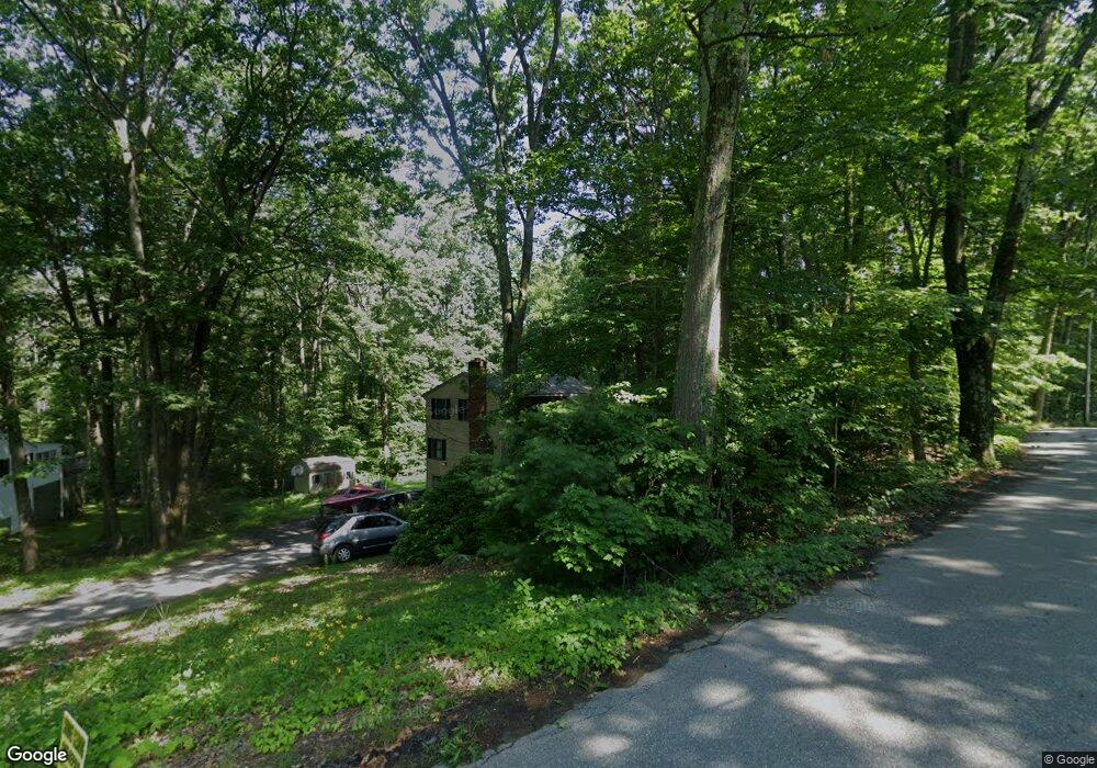
9 Colonial Rd Unit 9 Sutton, MA 01590
Estimated Value: $557,438 - $585,000
3
Beds
2
Baths
1,856
Sq Ft
$307/Sq Ft
Est. Value
About This Home
This home is located at 9 Colonial Rd Unit 9, Sutton, MA 01590 and is currently estimated at $569,610, approximately $306 per square foot. 9 Colonial Rd Unit 9 is a home located in Worcester County with nearby schools including Sutton Elementary School, Sutton Middle School, and Sutton High School.
Ownership History
Date
Name
Owned For
Owner Type
Purchase Details
Closed on
Sep 13, 2022
Sold by
Oliveira Kayo and Oliveira Fernanda H
Bought by
Langston Brent and Meier Emily
Current Estimated Value
Home Financials for this Owner
Home Financials are based on the most recent Mortgage that was taken out on this home.
Original Mortgage
$379,236
Outstanding Balance
$360,427
Interest Rate
5.3%
Mortgage Type
Purchase Money Mortgage
Estimated Equity
$209,183
Purchase Details
Closed on
Oct 22, 2021
Sold by
Crosby Sarah A and Crosby Stephen
Bought by
Oliveira Kayo and Oliveira Fernanda H
Home Financials for this Owner
Home Financials are based on the most recent Mortgage that was taken out on this home.
Original Mortgage
$338,318
Interest Rate
2.8%
Mortgage Type
FHA
Purchase Details
Closed on
Apr 22, 2013
Sold by
Crosby Stephen
Bought by
Crosby Stephen and Crosby Sarah A
Home Financials for this Owner
Home Financials are based on the most recent Mortgage that was taken out on this home.
Original Mortgage
$270,400
Interest Rate
3.52%
Mortgage Type
New Conventional
Purchase Details
Closed on
Sep 14, 2005
Sold by
Wilke Mary L and Wilke Walter J
Bought by
Crosby Stephen
Home Financials for this Owner
Home Financials are based on the most recent Mortgage that was taken out on this home.
Original Mortgage
$266,300
Interest Rate
5.84%
Mortgage Type
Purchase Money Mortgage
Create a Home Valuation Report for This Property
The Home Valuation Report is an in-depth analysis detailing your home's value as well as a comparison with similar homes in the area
Home Values in the Area
Average Home Value in this Area
Purchase History
| Date | Buyer | Sale Price | Title Company |
|---|---|---|---|
| Langston Brent | $474,000 | None Available | |
| Oliveira Kayo | $350,000 | None Available | |
| Crosby Stephen | -- | -- | |
| Crosby Stephen | -- | -- | |
| Crosby Stephen | $332,900 | -- | |
| Crosby Stephen | $332,900 | -- |
Source: Public Records
Mortgage History
| Date | Status | Borrower | Loan Amount |
|---|---|---|---|
| Open | Langston Brent | $379,236 | |
| Previous Owner | Oliveira Kayo | $338,318 | |
| Previous Owner | Crosby Stephen | $270,400 | |
| Previous Owner | Crosby Stephen | $266,300 |
Source: Public Records
Tax History
| Year | Tax Paid | Tax Assessment Tax Assessment Total Assessment is a certain percentage of the fair market value that is determined by local assessors to be the total taxable value of land and additions on the property. | Land | Improvement |
|---|---|---|---|---|
| 2025 | $5,206 | $433,100 | $162,200 | $270,900 |
| 2024 | $5,243 | $413,500 | $155,000 | $258,500 |
| 2023 | $4,817 | $347,800 | $140,300 | $207,500 |
| 2022 | $4,478 | $295,000 | $106,900 | $188,100 |
| 2021 | $4,421 | $276,300 | $106,900 | $169,400 |
| 2020 | $4,382 | $276,300 | $106,900 | $169,400 |
| 2019 | $4,313 | $261,100 | $106,900 | $154,200 |
| 2018 | $4,166 | $251,700 | $106,900 | $144,800 |
| 2017 | $4,003 | $242,600 | $94,100 | $148,500 |
| 2016 | $3,953 | $237,000 | $94,100 | $142,900 |
| 2015 | $3,828 | $229,500 | $94,100 | $135,400 |
| 2014 | $3,749 | $222,100 | $99,000 | $123,100 |
Source: Public Records
Map
Nearby Homes
- 168 Burbank Rd
- 5 Mogren Dr
- 4 Jessica j Dr
- 2 Jessica j Dr
- 128 Worcester Providence Turnpike
- 124 Worcester Providence Turnpike
- 99 Burbank Road Lot 182
- 99 Burbank Rd
- 8 Sycamore Cir
- 152 W Main St Unit A
- 11 Laurel Dr
- 37 Sutton Rd
- 38 W Main St
- 0 W Main St
- 66 Buttonwood Ave
- 1 Burbank Rd
- 20 Millers Way Unit C
- 7 Canal St
- 37-39 Main St
- 150 Ariel Cir
- 9 Colonial Rd
- 3 Colonial Rd
- 10 Colonial Rd
- 11 Colonial Rd
- 6 Colonial Rd
- 12 Colonial Rd
- 12 Colonial Rd Unit 12
- 4 Colonial Rd
- 16 Colonial Rd
- 15 Colonial Rd
- 48 Worcester Providence Turnpike
- 20 Colonial Rd
- 19 Colonial Rd
- 27 Worcester Providence Turnpike
- 49 Worcester Providence Turnpike
- 24 Colonial Rd
- 54 Worcester Providence Turnpike
- 23 Colonial Rd
- 28 Colonial Rd
- 25 Colonial Rd
Your Personal Tour Guide
Ask me questions while you tour the home.