9 Cross St Wilmington, MA 01887
--
Bed
--
Bath
754
Sq Ft
20.47
Acres
About This Home
This home is located at 9 Cross St, Wilmington, MA 01887. 9 Cross St is a home located in Middlesex County with nearby schools including Wilmington Middle School, Wilmington High School, and Abundant Life Christian School and Childcare.
Ownership History
Date
Name
Owned For
Owner Type
Purchase Details
Closed on
Jun 6, 2012
Sold by
Century B & T Co
Bought by
Wilmington Town Of
Purchase Details
Closed on
Oct 17, 2011
Sold by
Wilmington Holdings Ll
Bought by
Century B&T Co
Purchase Details
Closed on
Aug 2, 2005
Sold by
Yentile Rt and Garey Theresa
Bought by
Wilmington Holdings Ll
Home Financials for this Owner
Home Financials are based on the most recent Mortgage that was taken out on this home.
Original Mortgage
$6,375,000
Interest Rate
5.67%
Mortgage Type
Purchase Money Mortgage
Create a Home Valuation Report for This Property
The Home Valuation Report is an in-depth analysis detailing your home's value as well as a comparison with similar homes in the area
Home Values in the Area
Average Home Value in this Area
Purchase History
| Date | Buyer | Sale Price | Title Company |
|---|---|---|---|
| Wilmington Town Of | $1,182,500 | -- | |
| Century B&T Co | $1,300,000 | -- | |
| Wilmington Holdings Ll | $3,852,707 | -- |
Source: Public Records
Mortgage History
| Date | Status | Borrower | Loan Amount |
|---|---|---|---|
| Previous Owner | Wilmington Holdings Ll | $6,375,000 |
Source: Public Records
Tax History Compared to Growth
Tax History
| Year | Tax Paid | Tax Assessment Tax Assessment Total Assessment is a certain percentage of the fair market value that is determined by local assessors to be the total taxable value of land and additions on the property. | Land | Improvement |
|---|---|---|---|---|
| 2025 | -- | $2,133,100 | $1,899,500 | $233,600 |
| 2024 | -- | $2,129,300 | $1,899,500 | $229,800 |
| 2023 | $0 | $2,090,100 | $1,870,100 | $220,000 |
| 2022 | $0 | $2,026,500 | $1,820,900 | $205,600 |
| 2021 | $0 | $2,007,000 | $1,798,700 | $208,300 |
| 2020 | $0 | $2,007,000 | $1,798,700 | $208,300 |
| 2019 | $0 | $1,994,800 | $1,787,900 | $206,900 |
| 2018 | $0 | $1,973,700 | $1,777,700 | $196,000 |
| 2017 | $0 | $1,367,700 | $1,357,700 | $10,000 |
| 2016 | -- | $1,358,100 | $1,348,100 | $10,000 |
| 2015 | -- | $1,358,100 | $1,348,100 | $10,000 |
| 2014 | -- | $1,349,100 | $1,339,100 | $10,000 |
Source: Public Records
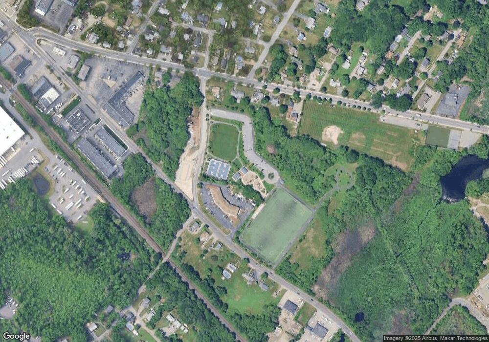
Map
Nearby Homes
- 61 Lowell St
- 7 Cross St (Units 201 & 202)
- 7 Cross St Unit 306
- 7 Cross St Unit 304
- 7 Cross St Unit 205
- 17 Molloy Rd
- 9 Parker St
- 203 Lowell St Unit 119
- 203 Lowell St Unit 115
- 203 Lowell St Unit 304
- 203 Lowell St Unit 220
- 203 Lowell St Unit 103
- 203 Lowell St Unit 306
- 1 March Rd
- 62 Adams St
- 5 Morse Ave
- 27 Fairview Ave
- 11 Patchs Pond Ln
- 3 Strout Ave
- 414-418 Main St
- 9 Cross St Unit 12
- 9 Cross St Unit 11
- 9 Cross St Unit 10
- 9 Cross St Unit 8
- 9 Cross St Unit 7
- 9 Cross St Unit 6
- 9 Cross St Unit 5
- 9 Cross St Unit 4
- 9 Cross St Unit 3
- 9 Cross St Unit 2
- 9 Cross St Unit 1
- 9 Cross St Unit 43
- 9 Cross St Unit 42
- 9 Cross St Unit 41
- 9 Cross St Unit 40
- 9 Cross St Unit 39
- 9 Cross St Unit 38
- 9 Cross St Unit 37
- 9 Cross St Unit 36
- 9 Cross St Unit 35