9 Davedon Dr East Falmouth, MA 02536
Hatchville NeighborhoodEstimated Value: $764,309 - $882,000
4
Beds
3
Baths
2,128
Sq Ft
$394/Sq Ft
Est. Value
About This Home
This home is located at 9 Davedon Dr, East Falmouth, MA 02536 and is currently estimated at $838,827, approximately $394 per square foot. 9 Davedon Dr is a home located in Barnstable County with nearby schools including Mullen-Hall School, Morse Pond School, and Lawrence School.
Ownership History
Date
Name
Owned For
Owner Type
Purchase Details
Closed on
May 10, 2019
Sold by
Healy-Mathis Sharon E
Bought by
Sharon E Healy Mathis Lt and Healy-Mathis
Current Estimated Value
Purchase Details
Closed on
Sep 18, 1981
Bought by
Pimental Sharon
Create a Home Valuation Report for This Property
The Home Valuation Report is an in-depth analysis detailing your home's value as well as a comparison with similar homes in the area
Home Values in the Area
Average Home Value in this Area
Purchase History
| Date | Buyer | Sale Price | Title Company |
|---|---|---|---|
| Sharon E Healy Mathis Lt | -- | -- | |
| Pimental Sharon | -- | -- |
Source: Public Records
Mortgage History
| Date | Status | Borrower | Loan Amount |
|---|---|---|---|
| Previous Owner | Pimental Sharon | $65,000 | |
| Previous Owner | Pimental Sharon | $75,000 |
Source: Public Records
Tax History Compared to Growth
Tax History
| Year | Tax Paid | Tax Assessment Tax Assessment Total Assessment is a certain percentage of the fair market value that is determined by local assessors to be the total taxable value of land and additions on the property. | Land | Improvement |
|---|---|---|---|---|
| 2025 | $3,835 | $653,400 | $192,800 | $460,600 |
| 2024 | $3,786 | $602,800 | $182,800 | $420,000 |
| 2023 | $3,387 | $489,500 | $182,800 | $306,700 |
| 2022 | $3,191 | $396,400 | $137,800 | $258,600 |
| 2021 | $2,998 | $352,700 | $131,800 | $220,900 |
| 2020 | $2,927 | $340,700 | $119,800 | $220,900 |
| 2019 | $2,899 | $338,700 | $119,800 | $218,900 |
| 2018 | $2,878 | $331,200 | $119,800 | $211,400 |
| 2017 | $2,766 | $324,300 | $119,800 | $204,500 |
| 2016 | $2,714 | $324,300 | $119,800 | $204,500 |
| 2015 | $2,656 | $324,300 | $119,800 | $204,500 |
| 2014 | $2,619 | $321,400 | $126,100 | $195,300 |
Source: Public Records
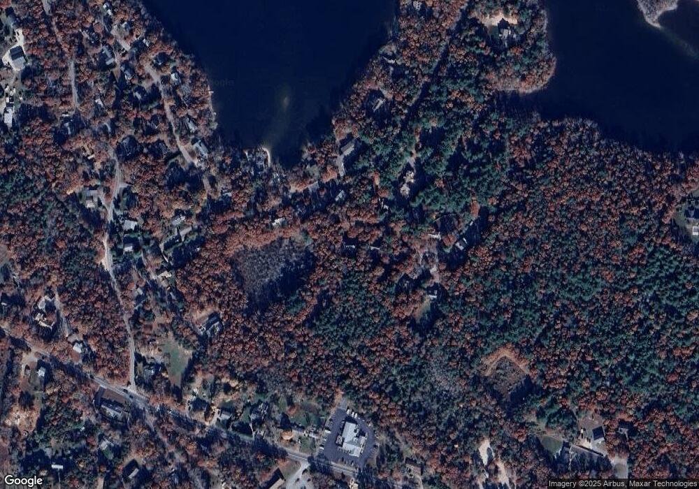
Map
Nearby Homes
- 12 Beach Plum Path
- 273 Sandwich Rd
- 149 Brick Kiln Rd
- 32 Jamie Ln
- 17 Pinewood Dr
- 25 Percival Rd
- 68 Deepwood Dr
- 4 Josiah Path
- 7 Josiah Path
- 18 Josiah Path
- 20 Josiah Path
- 21 Josiah Path
- 30 Josiah Path
- 12 Rock Hollow Dr
- 63 Pine Valley Dr Unit 63 aka 30A
- 131 Heritage Cir
- 100 Tanglewood Dr
- 70 Meredith Dr
- 59 Whitecaps Dr
- 49 Broken Bow Ln