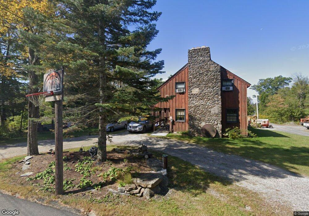
9 Drive G East Otis, MA 01029
Estimated Value: $371,000 - $611,000
3
Beds
2
Baths
1,941
Sq Ft
$236/Sq Ft
Est. Value
About This Home
This home is located at 9 Drive G, East Otis, MA 01029 and is currently estimated at $458,965, approximately $236 per square foot. 9 Drive G is a home with nearby schools including Farmington River Elementary School.
Ownership History
Date
Name
Owned For
Owner Type
Purchase Details
Closed on
Jul 16, 2010
Sold by
Magane Marylu
Bought by
Magane Russell L
Current Estimated Value
Home Financials for this Owner
Home Financials are based on the most recent Mortgage that was taken out on this home.
Original Mortgage
$76,687
Outstanding Balance
$51,214
Interest Rate
4.82%
Mortgage Type
Purchase Money Mortgage
Estimated Equity
$407,751
Purchase Details
Closed on
Mar 15, 2010
Sold by
Greenberg Barbara
Bought by
Cross Road Nt and Greenberg Barbara
Create a Home Valuation Report for This Property
The Home Valuation Report is an in-depth analysis detailing your home's value as well as a comparison with similar homes in the area
Home Values in the Area
Average Home Value in this Area
Purchase History
| Date | Buyer | Sale Price | Title Company |
|---|---|---|---|
| Magane Russell L | $154,000 | -- | |
| Magane Russell L | $154,000 | -- | |
| Cross Road Nt | -- | -- |
Source: Public Records
Mortgage History
| Date | Status | Borrower | Loan Amount |
|---|---|---|---|
| Open | Magane Russell L | $76,687 | |
| Closed | Magane Russell L | $76,687 |
Source: Public Records
Tax History Compared to Growth
Tax History
| Year | Tax Paid | Tax Assessment Tax Assessment Total Assessment is a certain percentage of the fair market value that is determined by local assessors to be the total taxable value of land and additions on the property. | Land | Improvement |
|---|---|---|---|---|
| 2025 | $2,361 | $365,500 | $69,200 | $296,300 |
| 2024 | $2,093 | $323,000 | $68,200 | $254,800 |
| 2023 | $1,988 | $300,300 | $45,500 | $254,800 |
| 2022 | $2,199 | $283,700 | $43,900 | $239,800 |
| 2021 | $2,007 | $236,900 | $43,900 | $193,000 |
| 2020 | $1,948 | $233,600 | $43,900 | $189,700 |
| 2019 | $1,934 | $233,600 | $43,900 | $189,700 |
| 2018 | $1,924 | $233,600 | $43,900 | $189,700 |
| 2017 | $1,887 | $233,600 | $43,900 | $189,700 |
| 2016 | $1,834 | $233,600 | $43,900 | $189,700 |
| 2015 | $1,779 | $236,200 | $41,100 | $195,100 |
Source: Public Records
Map
Nearby Homes
- 236 Ridge Ave
- 30 Brookman Dr
- 23 S Pine St
- 14 N Ridge St
- 14 N Ridge St
- 56 Otis-Tolland Rd
- 191 Moreau Rd
- 0 Curtis Hall Rd Unit 73425043
- 0 Curtis Hall Rd Unit 73376838
- 454 Pine Rd
- 369 Pine Rd
- 134 Kibbe Rd
- 854 Tolland Rd
- 91 Pike Rd
- 185 Pine Rd
- 168 Tolland Rd
- 7 Reservoir Heights Rd
- 129 W Shore Rd
- 38 Norton Road Extension
- 1259 E Otis Rd