9 Eustis Farm Rd Falmouth, ME 04105
Estimated Value: $777,000 - $1,404,371
2
Beds
3
Baths
1,841
Sq Ft
$574/Sq Ft
Est. Value
About This Home
This home is located at 9 Eustis Farm Rd, Falmouth, ME 04105 and is currently estimated at $1,057,093, approximately $574 per square foot. 9 Eustis Farm Rd is a home with nearby schools including Falmouth Middle School, Falmouth High School, and St. Brigid School.
Ownership History
Date
Name
Owned For
Owner Type
Purchase Details
Closed on
Mar 1, 2016
Sold by
Gurley Carolyn B
Bought by
Gurley Carolyn B and Gurley John T
Current Estimated Value
Home Financials for this Owner
Home Financials are based on the most recent Mortgage that was taken out on this home.
Original Mortgage
$148,000
Outstanding Balance
$8,855
Interest Rate
3.92%
Mortgage Type
Unknown
Estimated Equity
$1,048,238
Create a Home Valuation Report for This Property
The Home Valuation Report is an in-depth analysis detailing your home's value as well as a comparison with similar homes in the area
Home Values in the Area
Average Home Value in this Area
Purchase History
| Date | Buyer | Sale Price | Title Company |
|---|---|---|---|
| Gurley Carolyn B | -- | -- | |
| Efr Realty Llc | -- | -- |
Source: Public Records
Mortgage History
| Date | Status | Borrower | Loan Amount |
|---|---|---|---|
| Open | Gurley Carolyn B | $148,000 |
Source: Public Records
Tax History Compared to Growth
Tax History
| Year | Tax Paid | Tax Assessment Tax Assessment Total Assessment is a certain percentage of the fair market value that is determined by local assessors to be the total taxable value of land and additions on the property. | Land | Improvement |
|---|---|---|---|---|
| 2024 | $13,404 | $1,001,800 | $360,100 | $641,700 |
| 2023 | $12,639 | $999,900 | $360,100 | $639,800 |
| 2022 | $11,919 | $999,900 | $360,100 | $639,800 |
| 2021 | $9,804 | $562,500 | $205,100 | $357,400 |
| 2020 | $9,591 | $562,500 | $205,100 | $357,400 |
| 2019 | $9,098 | $539,300 | $205,100 | $334,200 |
| 2018 | $8,882 | $539,300 | $205,100 | $334,200 |
| 2017 | $8,424 | $539,300 | $205,100 | $334,200 |
| 2016 | $8,138 | $539,300 | $205,100 | $334,200 |
| 2015 | $7,831 | $535,300 | $211,900 | $323,400 |
| 2014 | $7,407 | $535,300 | $211,900 | $323,400 |
| 2012 | -- | $535,300 | $211,900 | $323,400 |
Source: Public Records
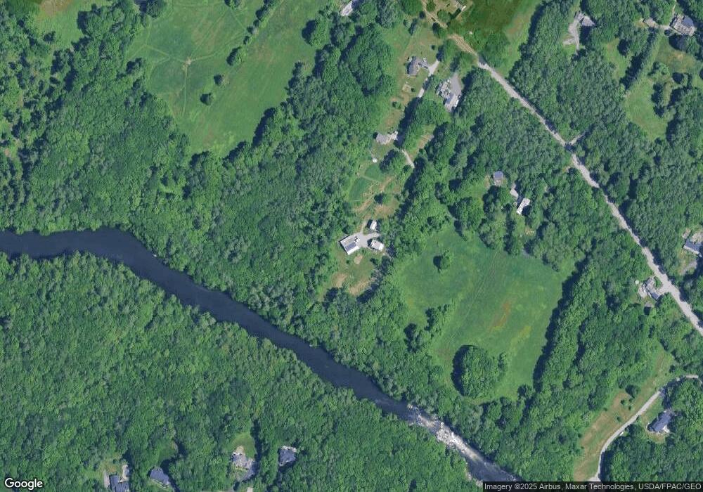
Map
Nearby Homes
- 2 Sunnyfield Ln
- 153 Falmouth Rd
- 132 Hope Ave
- 24 Surrey Ln
- 1 Geary Way
- 118 Pineloch Dr
- 2 Surrey Ln
- 259 Falmouth Rd
- 60 Crestview Dr
- 24 Brandy Ln
- 174 Christy Rd
- 24 Oakland Rd
- 69 Falmouth Rd
- 7 Country Ln
- 1 Blackstrap Rd
- 10 Cresfield Terrace Unit 4304
- 45 Middle Rd
- 1851 Washington Ave
- 1969 Washington Ave
- 79 Penn Ave
- 7 Eustis Farm Rd
- 186 Falmouth Rd
- 196 Falmouth Rd
- 202 Falmouth Rd
- 1 Eustis Farm Rd
- 16 Goldenrod Ln
- 199 Falmouth Rd
- 14 Goldenrod Ln
- 204 Falmouth Rd
- 201 Falmouth Rd
- 3 Sunnyfield
- 208 Falmouth Rd
- 53 Stapleford Dr
- 187 Falmouth Rd
- 8 Goldenrod Ln
- 173 Falmouth Rd
- 5 Sunnyfield Ln
- 16 Riverbank Way
- 52 Stapleford Dr
- 16 Falmouth Rd Unit 2