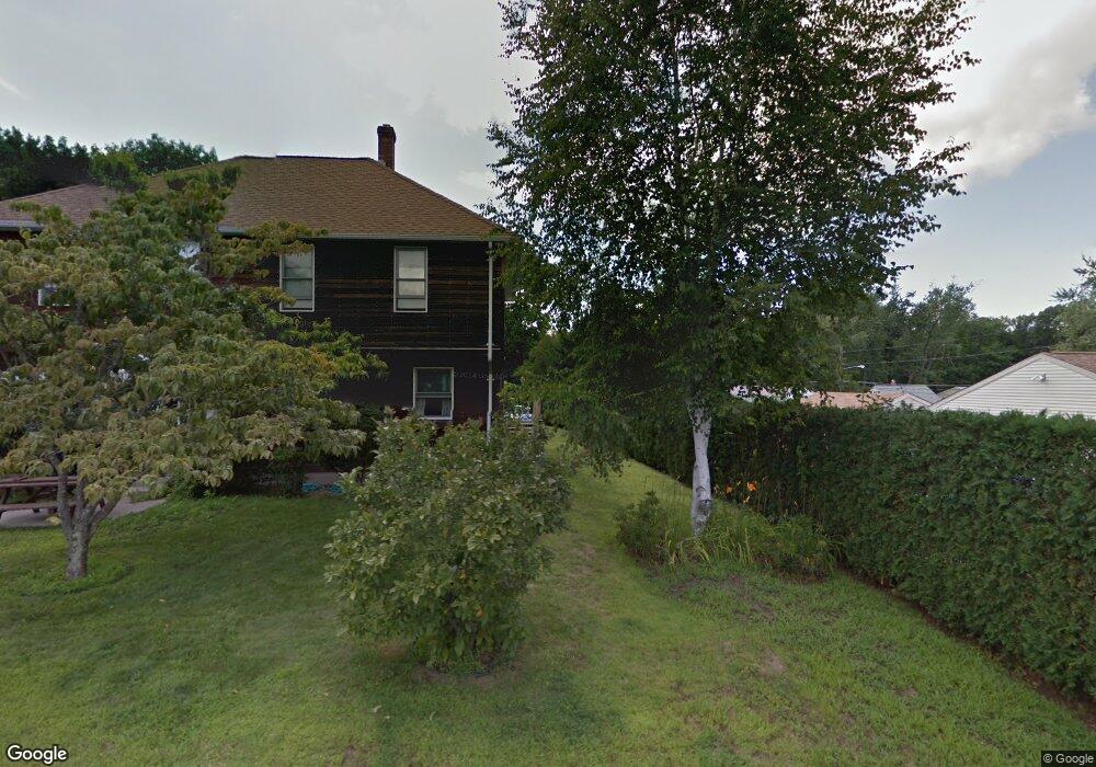
9 Faneuf St Auburn, MA 01501
Stoneville NeighborhoodEstimated Value: $387,000 - $514,000
3
Beds
2
Baths
1,298
Sq Ft
$346/Sq Ft
Est. Value
About This Home
This home is located at 9 Faneuf St, Auburn, MA 01501 and is currently estimated at $448,629, approximately $345 per square foot. 9 Faneuf St is a home located in Worcester County with nearby schools including Auburn Senior High School and Shrewsbury Montessori School - Auburn Campus.
Ownership History
Date
Name
Owned For
Owner Type
Purchase Details
Closed on
May 22, 1995
Sold by
Chauvin Carol M
Bought by
Fitzgerald Thomas and Fitzgerald Stacy
Current Estimated Value
Purchase Details
Closed on
Mar 17, 1995
Sold by
Dumaine Alma V
Bought by
Audette Carol M
Create a Home Valuation Report for This Property
The Home Valuation Report is an in-depth analysis detailing your home's value as well as a comparison with similar homes in the area
Home Values in the Area
Average Home Value in this Area
Purchase History
| Date | Buyer | Sale Price | Title Company |
|---|---|---|---|
| Fitzgerald Thomas | $89,000 | -- | |
| Audette Carol M | $96,000 | -- |
Source: Public Records
Mortgage History
| Date | Status | Borrower | Loan Amount |
|---|---|---|---|
| Open | Audette Carol M | $140,000 | |
| Closed | Audette Carol M | $20,000 |
Source: Public Records
Tax History Compared to Growth
Tax History
| Year | Tax Paid | Tax Assessment Tax Assessment Total Assessment is a certain percentage of the fair market value that is determined by local assessors to be the total taxable value of land and additions on the property. | Land | Improvement |
|---|---|---|---|---|
| 2025 | $53 | $372,400 | $114,200 | $258,200 |
| 2024 | $5,323 | $356,500 | $108,500 | $248,000 |
| 2023 | $5,131 | $323,100 | $98,600 | $224,500 |
| 2022 | $4,785 | $284,500 | $98,600 | $185,900 |
| 2021 | $4,747 | $261,700 | $87,000 | $174,700 |
| 2020 | $4,705 | $261,700 | $87,000 | $174,700 |
| 2019 | $8,198 | $238,200 | $86,100 | $152,100 |
| 2018 | $4,184 | $226,900 | $80,500 | $146,400 |
| 2017 | $7,309 | $219,400 | $73,000 | $146,400 |
| 2016 | $3,790 | $209,500 | $76,800 | $132,700 |
| 2015 | $3,487 | $202,000 | $76,800 | $125,200 |
| 2014 | $3,313 | $191,600 | $73,100 | $118,500 |
Source: Public Records
Map
Nearby Homes
- 83 Bryn Mawr Ave
- 1 Ashcroft St
- 11 Inwood Rd
- 381 Oxford St N
- 33 Walsh Ave
- 31-33 Walsh Ave
- 31 Walsh Ave
- 19-20 Williams St
- 30 Briarcliff Dr
- 52 Harrison Ave
- 34 Rockland Rd
- 12 Lancaster St
- 177 Oxford St N
- 2 Victoria Dr Unit 1
- 1-9 Helens Way
- 326 Pakachoag St
- 25 Vinal St Unit 26
- 25 Vinal St Unit 29
- 25 Vinal St Unit 30
- 21 Linda Ave