9 Fernwood Ln Grantham, NH 03753
Estimated Value: $580,164 - $629,000
4
Beds
3
Baths
2,400
Sq Ft
$255/Sq Ft
Est. Value
About This Home
This home is located at 9 Fernwood Ln, Grantham, NH 03753 and is currently estimated at $611,541, approximately $254 per square foot. 9 Fernwood Ln is a home located in Sullivan County with nearby schools including Grantham Village School and Lebanon High School.
Ownership History
Date
Name
Owned For
Owner Type
Purchase Details
Closed on
May 10, 2017
Sold by
Taylor Rodney J and Taylor Jane R
Bought by
Taylor Ft
Current Estimated Value
Purchase Details
Closed on
Sep 7, 2010
Sold by
Buchanan John D and Buchanan Ruthann C
Bought by
Taylor Rodney J and Taylor Jane R
Home Financials for this Owner
Home Financials are based on the most recent Mortgage that was taken out on this home.
Original Mortgage
$257,600
Interest Rate
4.55%
Mortgage Type
Purchase Money Mortgage
Purchase Details
Closed on
Sep 1, 1999
Sold by
Draper Sarah S
Bought by
Buchanan John D and Buchanan Ruthann C
Home Financials for this Owner
Home Financials are based on the most recent Mortgage that was taken out on this home.
Original Mortgage
$100,000
Interest Rate
7.5%
Create a Home Valuation Report for This Property
The Home Valuation Report is an in-depth analysis detailing your home's value as well as a comparison with similar homes in the area
Home Values in the Area
Average Home Value in this Area
Purchase History
| Date | Buyer | Sale Price | Title Company |
|---|---|---|---|
| Taylor Ft | -- | -- | |
| Taylor Rodney J | $322,000 | -- | |
| Buchanan John D | $125,000 | -- |
Source: Public Records
Mortgage History
| Date | Status | Borrower | Loan Amount |
|---|---|---|---|
| Previous Owner | Buchanan John D | $257,600 | |
| Previous Owner | Buchanan John D | $100,000 |
Source: Public Records
Tax History Compared to Growth
Tax History
| Year | Tax Paid | Tax Assessment Tax Assessment Total Assessment is a certain percentage of the fair market value that is determined by local assessors to be the total taxable value of land and additions on the property. | Land | Improvement |
|---|---|---|---|---|
| 2024 | $9,596 | $441,600 | $46,400 | $395,200 |
| 2023 | $8,647 | $441,600 | $46,400 | $395,200 |
| 2022 | $8,024 | $441,600 | $46,400 | $395,200 |
| 2021 | $7,749 | $309,200 | $54,300 | $254,900 |
| 2020 | $7,795 | $309,200 | $54,300 | $254,900 |
| 2019 | $7,590 | $275,300 | $51,800 | $223,500 |
| 2018 | $2,514 | $275,300 | $51,800 | $223,500 |
| 2017 | $6,801 | $268,500 | $51,800 | $216,700 |
| 2016 | $6,401 | $268,500 | $51,800 | $216,700 |
| 2015 | $6,476 | $268,500 | $51,800 | $216,700 |
| 2014 | $6,055 | $271,900 | $77,000 | $194,900 |
| 2013 | $5,830 | $271,900 | $77,000 | $194,900 |
Source: Public Records
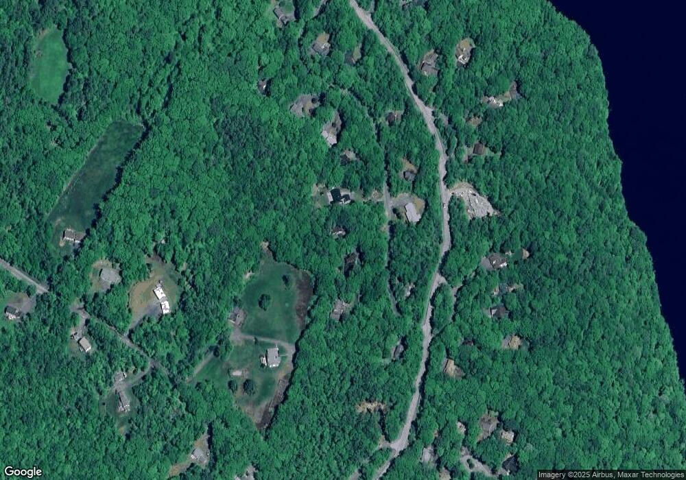
Map
Nearby Homes
- 8 Sandy Brae
- 16 Summit Dr
- 49 Old Beach Cir
- 54 Black Duck Spur
- 3 Trillium Ln
- 38 Terrace View
- 18 Pleasant Dr
- 3 Water View
- 9 Pleasant Dr
- 637 Marmot Ln Unit 37
- 26 Barn Owl Overlook
- 8 Old Spring Dr
- 6 Anderson Pond Rd
- 44 Hummingbird Hill
- 27 Hummingbird Hill
- 27 Eagle Dr
- 16 Clearwater Dr
- 0 Route 10 N Unit 5058175
- 1284 Route 10 N
- 23 High Pond Rd