9 Forest Ave Spofford, NH 03462
Estimated Value: $274,000 - $526,000
2
Beds
2
Baths
1,100
Sq Ft
$349/Sq Ft
Est. Value
About This Home
This home is located at 9 Forest Ave, Spofford, NH 03462 and is currently estimated at $383,911, approximately $349 per square foot. 9 Forest Ave is a home located in Cheshire County with nearby schools including Chesterfield Central School, Keene High School, and Montessori Schoolhouse of Cheshire County.
Ownership History
Date
Name
Owned For
Owner Type
Purchase Details
Closed on
Jul 8, 2004
Sold by
Lake Rickey A and Lake Kelly D
Bought by
Figueroa Wilson L and Figueroa Charlene M
Current Estimated Value
Home Financials for this Owner
Home Financials are based on the most recent Mortgage that was taken out on this home.
Original Mortgage
$164,500
Outstanding Balance
$80,361
Interest Rate
6.32%
Mortgage Type
Purchase Money Mortgage
Estimated Equity
$303,550
Create a Home Valuation Report for This Property
The Home Valuation Report is an in-depth analysis detailing your home's value as well as a comparison with similar homes in the area
Home Values in the Area
Average Home Value in this Area
Purchase History
| Date | Buyer | Sale Price | Title Company |
|---|---|---|---|
| Figueroa Wilson L | $163,900 | -- |
Source: Public Records
Mortgage History
| Date | Status | Borrower | Loan Amount |
|---|---|---|---|
| Open | Figueroa Wilson L | $164,500 |
Source: Public Records
Tax History
| Year | Tax Paid | Tax Assessment Tax Assessment Total Assessment is a certain percentage of the fair market value that is determined by local assessors to be the total taxable value of land and additions on the property. | Land | Improvement |
|---|---|---|---|---|
| 2025 | $3,585 | $165,600 | $72,700 | $92,900 |
| 2024 | $3,352 | $165,600 | $72,700 | $92,900 |
| 2023 | $3,282 | $165,600 | $72,700 | $92,900 |
| 2022 | $3,216 | $165,600 | $72,700 | $92,900 |
| 2021 | $3,148 | $165,600 | $72,700 | $92,900 |
| 2020 | $3,118 | $137,900 | $56,300 | $81,600 |
| 2019 | $2,852 | $127,800 | $56,300 | $71,500 |
| 2018 | $2,576 | $127,800 | $56,300 | $71,500 |
| 2016 | $2,717 | $127,800 | $56,300 | $71,500 |
| 2014 | $2,838 | $127,800 | $56,300 | $71,500 |
Source: Public Records
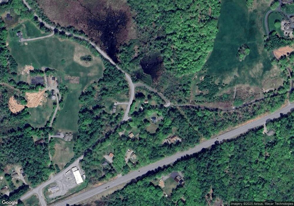
Map
Nearby Homes
- 0 Chesterfield Rd Unit 13
- 484 Old Swanzey Rd
- 21 Bump Rd
- 28 Owens Dr Unit 92
- 8 Marguerite St
- 44 Base Hill Rd
- 25 Schult St
- 24 Hunt Rd
- 238 Base Hill Rd Unit 15
- 238 Base Hill Rd Unit 40
- 000 S Village Rd Unit 13
- 626 W Swanzey Rd
- 14 Hurricane Rd
- 60 Butternut Dr
- 1 Cherry Tree Ln
- 29 Perry Ln Unit 3
- 67 Oriole Ave
- 3 Magnolia Way
- 17 Blue Jay Ct
- 21 Sparrow St
- 0 Glebe Rd
- 10 Forest Ave
- 2 Forest Ave
- 2099 Route 9
- 43 Glebe Rd
- 2071 Route 9
- 34 Glebe Rd
- 2090 Route 9
- 0 Wrobel Glebe Rd
- 0 Wrobles Rd Unit 4441666
- 0 Wrobles Rd Unit 4389058
- 20 Wrobel Rd
- 0 Wrobel Rd
- 6 Valley Park Dr
- 5 Valley Park Dr
- 33 Wrobel Rd
- 0 Wrobel Rd
- 8 Wrobel Rd
- 2114 New Hampshire 9
- 2132 Route 9
Your Personal Tour Guide
Ask me questions while you tour the home.