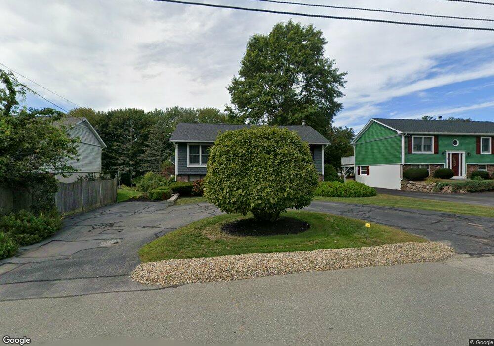
9 Goodwin Rd Gloucester, MA 01930
Estimated Value: $647,000 - $747,000
3
Beds
1
Bath
1,135
Sq Ft
$609/Sq Ft
Est. Value
About This Home
This home is located at 9 Goodwin Rd, Gloucester, MA 01930 and is currently estimated at $690,762, approximately $608 per square foot. 9 Goodwin Rd is a home located in Essex County with nearby schools including Beeman Memorial, Ralph B O'maley Middle School, and Gloucester High School.
Ownership History
Date
Name
Owned For
Owner Type
Purchase Details
Closed on
Mar 13, 2007
Sold by
Compton Donna M
Bought by
Compton Gene L
Current Estimated Value
Home Financials for this Owner
Home Financials are based on the most recent Mortgage that was taken out on this home.
Original Mortgage
$336,000
Outstanding Balance
$201,128
Interest Rate
6.24%
Estimated Equity
$489,634
Create a Home Valuation Report for This Property
The Home Valuation Report is an in-depth analysis detailing your home's value as well as a comparison with similar homes in the area
Purchase History
| Date | Buyer | Sale Price | Title Company |
|---|---|---|---|
| Compton Gene L | -- | -- |
Source: Public Records
Mortgage History
| Date | Status | Borrower | Loan Amount |
|---|---|---|---|
| Open | Compton Gene L | $336,000 |
Source: Public Records
Tax History
| Year | Tax Paid | Tax Assessment Tax Assessment Total Assessment is a certain percentage of the fair market value that is determined by local assessors to be the total taxable value of land and additions on the property. | Land | Improvement |
|---|---|---|---|---|
| 2025 | $5,395 | $555,000 | $186,100 | $368,900 |
| 2024 | $5,540 | $569,400 | $177,200 | $392,200 |
| 2023 | $5,260 | $496,700 | $158,300 | $338,400 |
| 2022 | $4,898 | $417,600 | $137,700 | $279,900 |
| 2021 | $4,796 | $385,500 | $125,100 | $260,400 |
| 2020 | $4,479 | $363,300 | $125,100 | $238,200 |
| 2019 | $4,511 | $355,500 | $125,100 | $230,400 |
| 2018 | $4,268 | $330,100 | $125,100 | $205,000 |
| 2017 | $4,040 | $306,300 | $119,200 | $187,100 |
| 2016 | $3,997 | $293,700 | $124,300 | $169,400 |
| 2015 | $3,822 | $280,000 | $124,300 | $155,700 |
Source: Public Records
Map
Nearby Homes
- 3 Deacon Farm Ln
- 31 Echo Ave
- 2 Breezy Point Rd
- 13 Honeysuckle Rd
- 672 Washington St
- 13 Mystic Ave
- 8 Mystic Ave
- 98 Maplewood Ave
- 6 Monroe Ct
- 12 Arthur St
- 9 Cleveland Place
- 40 Sargent St
- 19 Trask St Unit 2
- 50 Warner St
- 113 Pleasant St
- 33 Maplewood Ave Unit 310
- 167 Atlantic St
- 178 Atlantic St
- 15 Mount Vernon St
- 226 Atlantic St
Your Personal Tour Guide
Ask me questions while you tour the home.