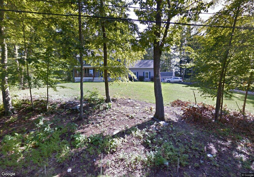
9 Goose Point Kittery Point, ME 03905
Estimated Value: $840,074 - $1,171,000
4
Beds
3
Baths
2,500
Sq Ft
$384/Sq Ft
Est. Value
About This Home
This home is located at 9 Goose Point, Kittery Point, ME 03905 and is currently estimated at $960,519, approximately $384 per square foot. 9 Goose Point is a home located in York County with nearby schools including Horace Mitchell Primary School, Shapleigh School, and Robert W Traip Academy.
Ownership History
Date
Name
Owned For
Owner Type
Purchase Details
Closed on
Apr 14, 2021
Sold by
Syria Albert C and Syria Barbara L
Bought by
Syria Barbara L
Current Estimated Value
Purchase Details
Closed on
Jan 11, 2013
Sold by
Syria Albert C
Bought by
Syria Albert C and Fullford-Syria Barbara L
Home Financials for this Owner
Home Financials are based on the most recent Mortgage that was taken out on this home.
Original Mortgage
$95,000
Interest Rate
3.36%
Mortgage Type
New Conventional
Purchase Details
Closed on
Dec 17, 2009
Sold by
Father & Son Builders Inc
Bought by
Syria Albert C
Home Financials for this Owner
Home Financials are based on the most recent Mortgage that was taken out on this home.
Original Mortgage
$585,000
Interest Rate
5%
Mortgage Type
Unknown
Create a Home Valuation Report for This Property
The Home Valuation Report is an in-depth analysis detailing your home's value as well as a comparison with similar homes in the area
Home Values in the Area
Average Home Value in this Area
Purchase History
| Date | Buyer | Sale Price | Title Company |
|---|---|---|---|
| Syria Barbara L | -- | None Available | |
| Syria Albert C | -- | -- | |
| Syria Albert C | -- | -- |
Source: Public Records
Mortgage History
| Date | Status | Borrower | Loan Amount |
|---|---|---|---|
| Previous Owner | Syria Albert C | $95,000 | |
| Previous Owner | Syria Albert C | $585,000 |
Source: Public Records
Tax History Compared to Growth
Tax History
| Year | Tax Paid | Tax Assessment Tax Assessment Total Assessment is a certain percentage of the fair market value that is determined by local assessors to be the total taxable value of land and additions on the property. | Land | Improvement |
|---|---|---|---|---|
| 2024 | $6,949 | $489,400 | $141,000 | $348,400 |
| 2023 | $6,661 | $489,400 | $141,000 | $348,400 |
| 2022 | $6,597 | $489,400 | $141,000 | $348,400 |
| 2021 | $6,362 | $489,400 | $141,000 | $348,400 |
| 2020 | $6,313 | $489,400 | $141,000 | $348,400 |
| 2019 | $6,429 | $369,500 | $101,900 | $267,600 |
| 2018 | $6,208 | $369,500 | $101,900 | $267,600 |
| 2017 | $6,097 | $369,500 | $101,900 | $267,600 |
| 2016 | $5,930 | $369,500 | $101,900 | $267,600 |
| 2015 | $5,790 | $369,500 | $101,900 | $267,600 |
| 2014 | $5,735 | $369,500 | $101,900 | $267,600 |
| 2013 | $5,624 | $369,500 | $101,900 | $267,600 |
Source: Public Records
Map
Nearby Homes
- 299 Haley Rd
- 8 Spruce Point Rd
- 58 Foyes Ln
- 205 Whipple Rd
- 15 Foyes Ln
- 72 Pepperrell Rd
- 12 Gillis Dr Unit 3
- 78 Norton Rd Unit 6
- 122 Haley Rd
- 132 Pepperrell Rd
- 116 Whipple Rd
- 25 Bartlett Rd
- 100 Shepards Cove Rd Unit F204
- 100 Shepards Cove Rd Unit G204
- 3 Izzy Ln
- 165 Rogers Rd
- 39 Tenney Hill Rd
- 20 Washburn Farm Ln Unit 5
- 7 Washburn Farm Ln Unit 9
- 18 Washburn Farm Ln Unit 4