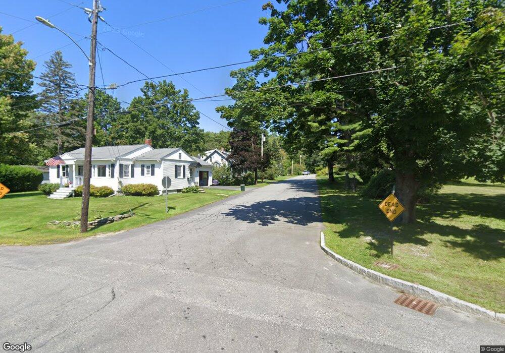
9 Guptill Ave Freeport, ME 04032
Estimated Value: $533,000 - $662,000
4
Beds
3
Baths
1,978
Sq Ft
$294/Sq Ft
Est. Value
About This Home
This home is located at 9 Guptill Ave, Freeport, ME 04032 and is currently estimated at $581,640, approximately $294 per square foot. 9 Guptill Ave is a home located in Cumberland County with nearby schools including Morse Street School, Mast Landing School, and Freeport Middle School.
Create a Home Valuation Report for This Property
The Home Valuation Report is an in-depth analysis detailing your home's value as well as a comparison with similar homes in the area
Home Values in the Area
Average Home Value in this Area
Tax History
| Year | Tax Paid | Tax Assessment Tax Assessment Total Assessment is a certain percentage of the fair market value that is determined by local assessors to be the total taxable value of land and additions on the property. | Land | Improvement |
|---|---|---|---|---|
| 2025 | $5,068 | $365,900 | $138,800 | $227,100 |
| 2024 | $4,795 | $359,200 | $132,100 | $227,100 |
| 2023 | $4,366 | $317,500 | $120,100 | $197,400 |
| 2022 | $4,159 | $304,700 | $107,300 | $197,400 |
| 2021 | $4,068 | $304,700 | $107,300 | $197,400 |
| 2020 | $3,938 | $281,300 | $99,300 | $182,000 |
| 2019 | $3,778 | $264,200 | $93,700 | $170,500 |
| 2018 | $3,617 | $240,300 | $82,600 | $157,700 |
| 2017 | $3,462 | $231,600 | $81,000 | $150,600 |
| 2016 | $3,391 | $214,600 | $74,900 | $139,700 |
| 2015 | $3,358 | $199,900 | $71,200 | $128,700 |
| 2014 | $3,158 | $199,900 | $71,200 | $128,700 |
| 2013 | $3,225 | $203,500 | $71,200 | $132,300 |
Source: Public Records
Map
Nearby Homes
- 10 Durham Rd
- 5 Holbrook St
- 42 Durham Rd
- 11 Orchard Hill Rd
- 39 Hunter Rd
- 15 Linwood Rd Unit 15
- 8 Statler Ln
- 304 Pownal Rd
- 1 Wardtown Rd
- 26 Harvest Ridge Rd Unit 24
- 20 Harvest Ridge Rd Unit 23
- 1260 Us Route 1
- 10 Prout Rd
- 29 S Freeport Rd
- 15 Tinkers Way
- 52 Birch Point Rd
- 4 Harper's Trail
- 2 Renee Rd
- 21 Renee Rd
- 0 Prout Rd
Your Personal Tour Guide
Ask me questions while you tour the home.