Estimated Value: $7,572,000 - $8,435,642
About This Home
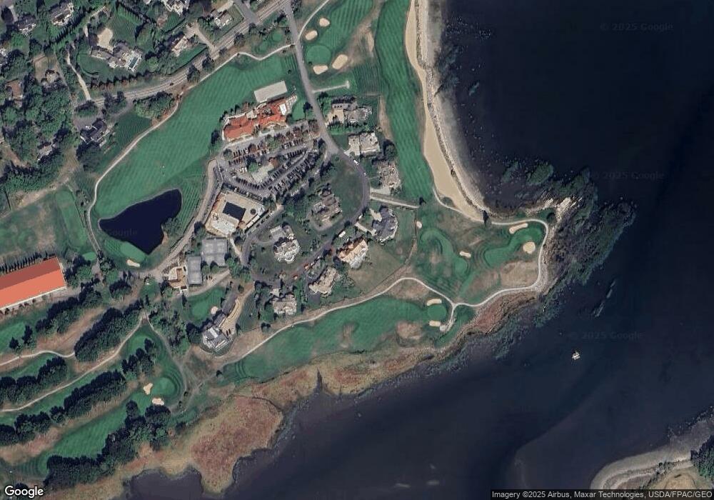
This home is located at 9 Heather Rd, Rye, NH 03870 and is currently estimated at $8,075,881, approximately $868 per square foot. 9 Heather Rd is a home located in Rockingham County with nearby schools including Rye Elementary School, Rye Junior High School, and St Patrick School.
Ownership History
We collect this data history from publicly available records. To have your information removed, we recommend requesting removal directly through your county’s website.
Purchase Details
Purchase Details
Home Financials for this Owner
Home Financials are based on the most recent Mortgage that was taken out on this home.Home Values in the Area
Average Home Value in this Area
Purchase History
We collect this data history from publicly available records. To have your information removed, we recommend requesting removal directly through your county’s website.
| Date | Buyer | Sale Price | Title Company |
|---|---|---|---|
| $8,350,000 | None Available | ||
| $640,000 | -- |
Mortgage History
We collect this data history from publicly available records. To have your information removed, we recommend requesting removal directly through your county’s website.
| Date | Status | Borrower | Loan Amount |
|---|---|---|---|
| Previous Owner | $2,200,000 | ||
| Previous Owner | $1,500,000 | ||
| Previous Owner | $610,000 |
Tax History
We collect this data history from publicly available records. To have your information removed, we recommend requesting removal directly through your county’s website.
| Year | Tax Paid | Tax Assessment Tax Assessment Total Assessment is a certain percentage of the fair market value that is determined by local assessors to be the total taxable value of land and additions on the property. | Land | Improvement |
|---|---|---|---|---|
| 2025 | $43,362 | $5,180,700 | $2,275,900 | $2,904,800 |
| 2024 | $43,485 | $5,021,400 | $2,275,900 | $2,745,500 |
| 2023 | $39,843 | $4,961,800 | $2,275,900 | $2,685,900 |
| 2022 | $34,633 | $4,961,800 | $2,275,900 | $2,685,900 |
| 2021 | $33,535 | $3,281,300 | $1,558,200 | $1,723,100 |
| 2020 | $33,535 | $3,281,300 | $1,558,200 | $1,723,100 |
| 2019 | $33,251 | $3,253,500 | $1,558,200 | $1,695,300 |
| 2018 | $32,937 | $3,257,900 | $1,558,200 | $1,699,700 |
| 2017 | $32,937 | $3,257,900 | $1,558,200 | $1,699,700 |
| 2016 | $37,735 | $3,533,200 | $1,214,400 | $2,318,800 |
| 2013 | $39,214 | $3,574,700 | $1,321,600 | $2,253,100 |
Map
- 267 Pioneer Rd
- 170 Wentworth Rd
- 75 Marina Heights Rd
- 8 Campbells Ln
- 29 Frontier St
- 25 Frontier St
- 65 Little Harbor Rd
- 14 Sagamore Rd Unit 3
- 1171 Sagamore Ave Unit 9
- 56 Old Bay Rd
- 38 Ducks Head Rd
- 137 Walker Bungalow Rd
- 115 Odiorne Point Rd
- 97 Abigale Ln
- 579 Sagamore Ave Unit 24
- 579 Sagamore Ave Unit 29
- 31 Pleasant Point Dr
- 789 Ocean Blvd
- 69 Cranfield St
- 32 Porpoise Dr
Ask me questions while you tour the home.