9 High Meadow Rd Wrentham, MA 02093
Estimated Value: $1,331,563 - $1,686,000
4
Beds
4
Baths
4,038
Sq Ft
$366/Sq Ft
Est. Value
About This Home
This home is located at 9 High Meadow Rd, Wrentham, MA 02093 and is currently estimated at $1,476,641, approximately $365 per square foot. 9 High Meadow Rd is a home located in Norfolk County with nearby schools including Delaney Elementary School and Charles E Roderick.
Ownership History
Date
Name
Owned For
Owner Type
Purchase Details
Closed on
May 9, 2006
Sold by
Wrentham Hills Llc
Bought by
Saviano Jeffrey N and Saviano Lisa A
Current Estimated Value
Home Financials for this Owner
Home Financials are based on the most recent Mortgage that was taken out on this home.
Original Mortgage
$200,000
Outstanding Balance
$115,434
Interest Rate
6.34%
Mortgage Type
Purchase Money Mortgage
Estimated Equity
$1,361,207
Create a Home Valuation Report for This Property
The Home Valuation Report is an in-depth analysis detailing your home's value as well as a comparison with similar homes in the area
Purchase History
| Date | Buyer | Sale Price | Title Company |
|---|---|---|---|
| Saviano Jeffrey N | $250,000 | -- |
Source: Public Records
Mortgage History
| Date | Status | Borrower | Loan Amount |
|---|---|---|---|
| Open | Saviano Jeffrey N | $200,000 |
Source: Public Records
Tax History
| Year | Tax Paid | Tax Assessment Tax Assessment Total Assessment is a certain percentage of the fair market value that is determined by local assessors to be the total taxable value of land and additions on the property. | Land | Improvement |
|---|---|---|---|---|
| 2025 | $14,612 | $1,260,700 | $280,400 | $980,300 |
| 2024 | $13,694 | $1,141,200 | $280,400 | $860,800 |
| 2023 | $14,282 | $1,131,700 | $255,500 | $876,200 |
| 2022 | $13,440 | $983,200 | $230,600 | $752,600 |
| 2021 | $12,583 | $894,300 | $206,800 | $687,500 |
| 2020 | $13,643 | $957,400 | $189,300 | $768,100 |
| 2019 | $13,012 | $921,500 | $189,300 | $732,200 |
| 2018 | $13,444 | $944,100 | $189,300 | $754,800 |
| 2017 | $13,349 | $936,800 | $185,700 | $751,100 |
| 2016 | $13,433 | $940,700 | $196,100 | $744,600 |
| 2015 | $13,614 | $908,800 | $188,500 | $720,300 |
| 2014 | $13,500 | $881,800 | $181,300 | $700,500 |
Source: Public Records
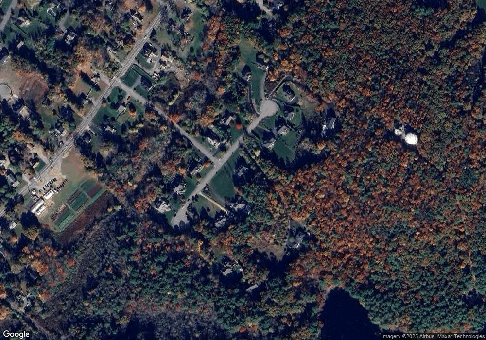
Map
Nearby Homes
- 3 Earle Stewart Ln
- 10 Earle Stewart Ln Unit Lot 5
- 12 Earle Stewart Ln
- 2 Earle Stewart Ln
- 10 Nature View Dr
- 15 Nature View Dr
- 500 Franklin St
- 1222 South St
- 483 Thurston St
- 287 Park St
- 440 Chestnut St
- 613 West St
- 160 Washington St Unit 22
- 0 Berry St
- 50 Reed Fulton Ave Unit Lot 61
- 576 Dedham St
- 18 Huntington Ave
- 246 Forest Grove Ave
- 158 Washington St
- 126 Washington St
- 23 High Meadow Rd
- 17 High Meadow Rd
- 11 High Meadow Rd
- 25 High Meadow Rd
- 19 High Meadow Rd
- 15A High Meadow Rd
- 15 High Meadow Rd
- 7 High Meadow Rd
- 5 High Meadow Rd
- Lot 14 High Meadow Rd
- Lot 11 High Meadow Rd
- 2 High Meadow Rd
- 10 High Meadow Rd
- 3 High Meadow Rd
- 20 High Meadow Rd
- 7 Badus Brook Rd
- 14 High Meadow Rd
- 14 High Meadow Rd Unit 14
- 14 High Meadow Rd
- 18 High Meadow Rd
Your Personal Tour Guide
Ask me questions while you tour the home.