9 Hillside Rd Westport, CT 06880
Compo NeighborhoodEstimated Value: $3,667,000 - $4,153,000
4
Beds
6
Baths
5,275
Sq Ft
$728/Sq Ft
Est. Value
About This Home
This home is located at 9 Hillside Rd, Westport, CT 06880 and is currently estimated at $3,841,118, approximately $728 per square foot. 9 Hillside Rd is a home located in Fairfield County with nearby schools including Green's Farms School, Bedford Middle School, and Staples High School.
Ownership History
Date
Name
Owned For
Owner Type
Purchase Details
Closed on
Oct 29, 2009
Sold by
Roche Ellen and Cavaiuolo John P
Bought by
Jones 3Rd J Robert and Jones Karen M
Current Estimated Value
Purchase Details
Closed on
Oct 26, 2009
Sold by
Roche Ellen
Bought by
Roche Ellen and Cavaiuolo John P
Purchase Details
Closed on
Sep 16, 1996
Sold by
Clark N T and Clark Betty
Bought by
Covaiuolo Ellen
Home Financials for this Owner
Home Financials are based on the most recent Mortgage that was taken out on this home.
Original Mortgage
$500,000
Interest Rate
5.75%
Mortgage Type
Unknown
Create a Home Valuation Report for This Property
The Home Valuation Report is an in-depth analysis detailing your home's value as well as a comparison with similar homes in the area
Home Values in the Area
Average Home Value in this Area
Purchase History
| Date | Buyer | Sale Price | Title Company |
|---|---|---|---|
| Jones 3Rd J Robert | $3,050,000 | -- | |
| Jones 3Rd J Robert | $3,050,000 | -- | |
| Roche Ellen | -- | -- | |
| Roche Ellen | -- | -- | |
| Covaiuolo Ellen | $746,000 | -- | |
| Covaiuolo Ellen | $746,000 | -- |
Source: Public Records
Mortgage History
| Date | Status | Borrower | Loan Amount |
|---|---|---|---|
| Previous Owner | Covaiuolo Ellen | $500,000 | |
| Previous Owner | Covaiuolo Ellen | $500,000 |
Source: Public Records
Tax History Compared to Growth
Tax History
| Year | Tax Paid | Tax Assessment Tax Assessment Total Assessment is a certain percentage of the fair market value that is determined by local assessors to be the total taxable value of land and additions on the property. | Land | Improvement |
|---|---|---|---|---|
| 2025 | $28,460 | $1,509,000 | $841,200 | $667,800 |
| 2024 | $28,098 | $1,509,000 | $841,200 | $667,800 |
| 2023 | $27,690 | $1,509,000 | $841,200 | $667,800 |
| 2022 | $27,268 | $1,509,000 | $841,200 | $667,800 |
| 2021 | $27,268 | $1,509,000 | $841,200 | $667,800 |
| 2020 | $28,009 | $1,676,200 | $886,200 | $790,000 |
| 2019 | $28,261 | $1,676,200 | $886,200 | $790,000 |
| 2018 | $28,261 | $1,676,200 | $886,200 | $790,000 |
| 2017 | $28,261 | $1,676,200 | $886,200 | $790,000 |
| 2016 | $28,261 | $1,676,200 | $886,200 | $790,000 |
| 2015 | $28,237 | $1,560,900 | $757,200 | $803,700 |
| 2014 | $28,003 | $1,560,900 | $757,200 | $803,700 |
Source: Public Records
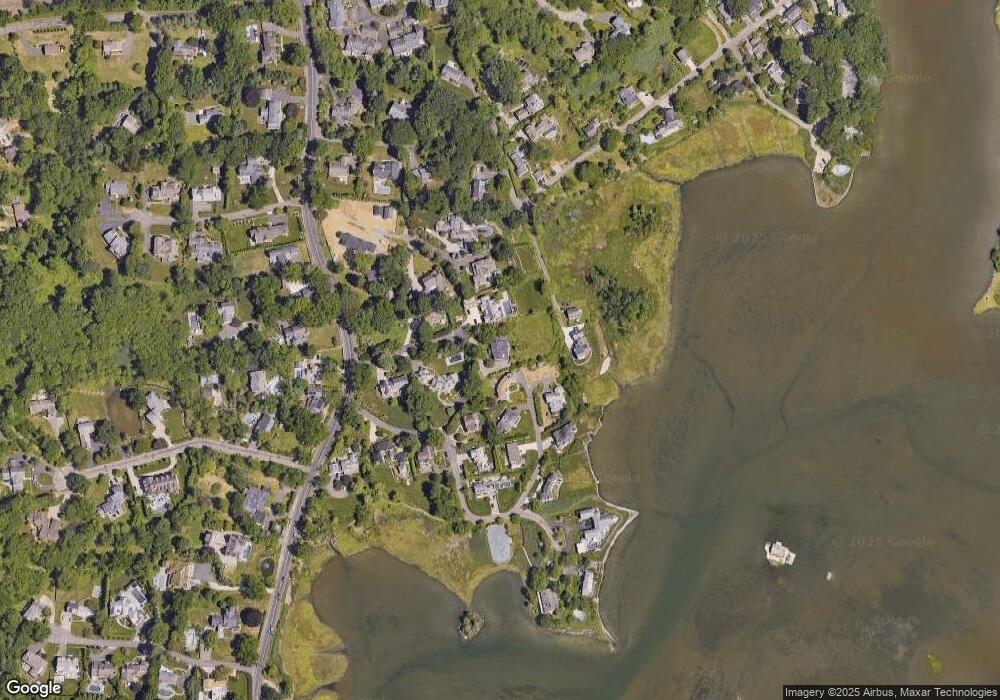
Map
Nearby Homes
- 11 Edgewater Hillside
- 32 Edgewater Hillside
- 61 Edgewater Commons Ln
- 195 Hillspoint Rd
- 216 Hillspoint Rd
- 33 Burnham Hill
- 11 Sterling Dr
- 48 Compo Mill Cove
- 46 Compo Mill Cove
- 46 Compo Mill Cove
- 39 Compo Pkwy
- 109 Greens Farms Rd
- 123 Greens Farms Rd
- 260 Hillspoint Rd
- 11 Wake Robin Rd
- 5 Hidden Hill Rd
- 24 Edgemarth Hill Rd
- 171 & 169 Compo Rd S
- 25 Ellery Ln
- 68 Center St
- 1 Edgewater Hillside
- 3 Hillside Rd
- 4 Edgewater Hillside
- 6 Edgewater Hillside
- 160 Hillspoint Rd
- 157 Hillspoint Rd
- 151 Hillspoint Rd
- 156 Hillspoint Rd
- 163 Hillspoint Rd
- 15 Edgewater Hillside
- 2 Hideaway Ln
- 175 Hillspoint Rd
- 35 Edgewater Hillside
- 7 Hillside Rd
- 152 Hillspoint Rd
- 17 Edgewater Hillside
- 4 Lamplight Ln
- 33 Edgewater Hillside
- 150 Hillspoint Rd
- 37 Edgewater Hillside