9 Joan Dr Stanhope, NJ 07874
Estimated Value: $576,000 - $729,000
--
Bed
--
Bath
2,891
Sq Ft
$223/Sq Ft
Est. Value
About This Home
This home is located at 9 Joan Dr, Stanhope, NJ 07874 and is currently estimated at $646,025, approximately $223 per square foot. 9 Joan Dr is a home located in Sussex County with nearby schools including Byram Lakes Elementary School, Byram Township Intermediate School, and Lenape Val Regional High School.
Ownership History
Date
Name
Owned For
Owner Type
Purchase Details
Closed on
May 24, 2021
Sold by
Knors Gabrielle
Bought by
Knors Paul
Current Estimated Value
Purchase Details
Closed on
Feb 15, 2011
Sold by
Knors Paul and Knors Gabrielle
Bought by
Knors Paul and Knors Gabrielle
Purchase Details
Closed on
Oct 30, 2009
Sold by
Mezzo Louis B and Mezzo Eileen K
Bought by
Knors Paul
Home Financials for this Owner
Home Financials are based on the most recent Mortgage that was taken out on this home.
Original Mortgage
$282,000
Outstanding Balance
$183,946
Interest Rate
4.98%
Mortgage Type
New Conventional
Estimated Equity
$462,079
Purchase Details
Closed on
Jul 19, 2006
Sold by
Mezzo Louis B and Mezzo Eileen K
Bought by
Mezzo Louis B and Mezzo Eileen K
Purchase Details
Closed on
Nov 20, 2000
Sold by
Mezzo Louis B and Mezzo Eileen K
Bought by
Mezzo Louis B and Mezzo Eileen K
Create a Home Valuation Report for This Property
The Home Valuation Report is an in-depth analysis detailing your home's value as well as a comparison with similar homes in the area
Home Values in the Area
Average Home Value in this Area
Purchase History
| Date | Buyer | Sale Price | Title Company |
|---|---|---|---|
| Knors Paul | -- | Ticor Title Insurance Co | |
| Knors Paul | -- | Ticor Title Insurance Co | |
| Knors Paul | $352,500 | Ticor Title Insurance Co | |
| Mezzo Louis B | -- | None Available | |
| Mezzo Louis B | -- | -- |
Source: Public Records
Mortgage History
| Date | Status | Borrower | Loan Amount |
|---|---|---|---|
| Open | Knors Paul | $282,000 |
Source: Public Records
Tax History Compared to Growth
Tax History
| Year | Tax Paid | Tax Assessment Tax Assessment Total Assessment is a certain percentage of the fair market value that is determined by local assessors to be the total taxable value of land and additions on the property. | Land | Improvement |
|---|---|---|---|---|
| 2025 | $12,593 | $328,800 | $99,000 | $229,800 |
| 2024 | $12,369 | $328,800 | $99,000 | $229,800 |
| 2023 | $12,369 | $328,800 | $99,000 | $229,800 |
| 2022 | $12,034 | $328,800 | $99,000 | $229,800 |
| 2021 | $11,850 | $328,800 | $99,000 | $229,800 |
| 2020 | $11,751 | $328,800 | $99,000 | $229,800 |
| 2019 | $11,735 | $328,800 | $99,000 | $229,800 |
| 2018 | $11,656 | $328,800 | $99,000 | $229,800 |
| 2017 | $11,452 | $328,800 | $99,000 | $229,800 |
| 2016 | $11,261 | $328,800 | $99,000 | $229,800 |
| 2015 | $10,979 | $328,800 | $99,000 | $229,800 |
| 2014 | $10,919 | $328,800 | $99,000 | $229,800 |
Source: Public Records
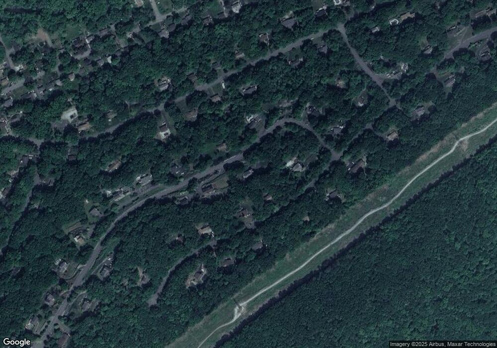
Map
Nearby Homes
- 11 Joan Dr
- 40 Brookwood Rd
- 30 Ross Rd
- 14250 Dell Place
- 14265 Dell Place Unit 265
- 695 Audubon Ct Unit D95
- 7 U S Highway 206
- 331 Alpine Ct Unit 31
- 189 Stonegate Ln
- 25 Dell Rd
- 3 James St
- 1 Smith St
- 28 Acorn St
- 22 Highland Ave
- 2 Roberts Place
- 2 Robert St
- 4 Lloyd Ave
- 8 Hillside Ave
- 7 Walton Place
- 52 River Rd