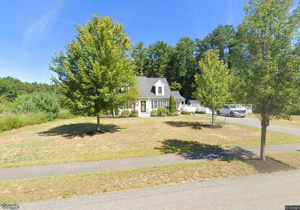
9 Kallio Path Pembroke, MA 02359
Estimated Value: $837,978 - $1,022,000
3
Beds
2
Baths
1,795
Sq Ft
$530/Sq Ft
Est. Value
About This Home
This home is located at 9 Kallio Path, Pembroke, MA 02359 and is currently estimated at $950,495, approximately $529 per square foot. 9 Kallio Path is a home with nearby schools including Pembroke High School.
Ownership History
Date
Name
Owned For
Owner Type
Purchase Details
Closed on
Feb 25, 2013
Sold by
K & G Development Corp
Bought by
Hanafin Eric C and Hanafin Heather M
Current Estimated Value
Home Financials for this Owner
Home Financials are based on the most recent Mortgage that was taken out on this home.
Original Mortgage
$400,410
Outstanding Balance
$281,275
Interest Rate
3.44%
Mortgage Type
New Conventional
Estimated Equity
$669,220
Create a Home Valuation Report for This Property
The Home Valuation Report is an in-depth analysis detailing your home's value as well as a comparison with similar homes in the area
Purchase History
| Date | Buyer | Sale Price | Title Company |
|---|---|---|---|
| Hanafin Eric C | $444,900 | -- |
Source: Public Records
Mortgage History
| Date | Status | Borrower | Loan Amount |
|---|---|---|---|
| Open | Hanafin Eric C | $400,410 |
Source: Public Records
Tax History
| Year | Tax Paid | Tax Assessment Tax Assessment Total Assessment is a certain percentage of the fair market value that is determined by local assessors to be the total taxable value of land and additions on the property. | Land | Improvement |
|---|---|---|---|---|
| 2025 | $8,932 | $743,100 | $340,400 | $402,700 |
| 2024 | $8,807 | $732,100 | $335,200 | $396,900 |
| 2023 | $8,552 | $672,300 | $310,400 | $361,900 |
| 2022 | $7,911 | $559,100 | $246,500 | $312,600 |
| 2021 | $7,455 | $511,300 | $241,300 | $270,000 |
| 2020 | $7,371 | $508,700 | $241,300 | $267,400 |
| 2019 | $7,116 | $487,400 | $230,500 | $256,900 |
| 2018 | $7,219 | $484,800 | $230,500 | $254,300 |
| 2017 | $7,108 | $470,700 | $215,700 | $255,000 |
| 2016 | $6,682 | $437,900 | $205,700 | $232,200 |
| 2015 | $6,307 | $427,900 | $195,700 | $232,200 |
Source: Public Records
Map
Nearby Homes
- 10 Fir Rd
- 59 Erikson Ln
- 290 School St
- 7 Andrew Dr
- 72 Old Cart Path Ln Unit Lot 2
- 78 Old Cart Path Ln Unit Lot 3
- 131 Elmer St
- 77 Old Cart Path Ln Unit Lot 4
- 26 Jessica Cir
- 100 Valley St
- 10 Mattakeesett Ave
- 14 Baltzer Dr
- 12 Herring Brook Ln
- 148 High St
- 66 Wildwood Rd
- 246 High St
- 25 Little Brook Rd
- 32 Little Brook Rd
- 143 Plymouth St
- 99 Old Washington St
Your Personal Tour Guide
Ask me questions while you tour the home.