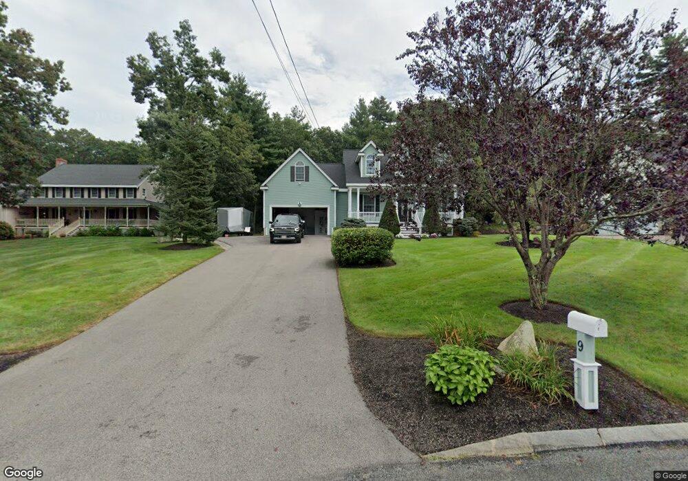
9 King Philip Rd Franklin, MA 02038
Estimated Value: $886,570 - $1,052,000
1
Bed
2
Baths
3,003
Sq Ft
$327/Sq Ft
Est. Value
About This Home
This home is located at 9 King Philip Rd, Franklin, MA 02038 and is currently estimated at $982,643, approximately $327 per square foot. 9 King Philip Rd is a home located in Norfolk County with nearby schools including Gerald M. Parmenter Elementary School, Remington Middle School, and Franklin High School.
Ownership History
Date
Name
Owned For
Owner Type
Purchase Details
Closed on
Jan 4, 2022
Sold by
Dibattista Paul F and Dibattista Anne D
Bought by
Dibattista Heritage Rt
Current Estimated Value
Purchase Details
Closed on
Jul 16, 1996
Sold by
Superior Bldng Assoc
Bought by
Dibattista Paul F
Purchase Details
Closed on
May 16, 1995
Sold by
Mac Homes Inc
Bought by
Superior Bldg Assoc Ic
Create a Home Valuation Report for This Property
The Home Valuation Report is an in-depth analysis detailing your home's value as well as a comparison with similar homes in the area
Purchase History
We collect this data history from publicly available records. To have your information removed, we recommend requesting removal directly through your county’s website.
| Date | Buyer | Sale Price | Title Company |
|---|---|---|---|
| Dibattista Heritage Rt | -- | None Available | |
| Dibattista Paul F | $85,000 | -- | |
| Superior Bldg Assoc Ic | $100,000 | -- |
Source: Public Records
Mortgage History
We collect this data history from publicly available records. To have your information removed, we recommend requesting removal directly through your county’s website.
| Date | Status | Borrower | Loan Amount |
|---|---|---|---|
| Previous Owner | Superior Bldg Assoc Ic | $60,000 | |
| Previous Owner | Superior Bldg Assoc Ic | $35,000 |
Source: Public Records
Tax History
| Year | Tax Paid | Tax Assessment Tax Assessment Total Assessment is a certain percentage of the fair market value that is determined by local assessors to be the total taxable value of land and additions on the property. | Land | Improvement |
|---|---|---|---|---|
| 2025 | $9,442 | $812,600 | $360,800 | $451,800 |
| 2024 | $9,581 | $812,600 | $360,800 | $451,800 |
| 2023 | $7,732 | $614,600 | $334,800 | $279,800 |
| 2022 | $7,501 | $533,900 | $288,600 | $245,300 |
| 2021 | $7,365 | $502,700 | $276,900 | $225,800 |
| 2020 | $7,166 | $493,900 | $279,800 | $214,100 |
| 2019 | $7,197 | $490,900 | $276,900 | $214,000 |
| 2018 | $6,808 | $464,700 | $274,100 | $190,600 |
| 2017 | $6,899 | $473,200 | $282,600 | $190,600 |
| 2016 | $6,322 | $436,000 | $244,300 | $191,700 |
| 2015 | $6,343 | $427,400 | $235,700 | $191,700 |
| 2014 | $5,862 | $405,700 | $216,200 | $189,500 |
Source: Public Records
Map
Nearby Homes
- 107 Mill St
- 300 Chestnut St
- 9 Elliot Mills Unit 5
- 8 Elliot Mills Unit 30
- 5 Elliot Mills Unit 3
- 7 Elliot Mills Unit 4
- 10 Elliot Mills Unit 29
- 7 Longobardi Dr
- 24 Matthew Dr
- 8 Griffin Rd
- 28 Waites Crossing
- 22 Waites Crossing
- 9 Waites Crossing
- 9 Arrowhead Ln
- 5 Flintlocke Rd
- 5 Fort Apache Dr
- 72 Uncas Ave Unit 1
- 300 Lafayette Ave
- 87 Alpine Place Unit 2
- 90 E Central St Unit 304
Your Personal Tour Guide
Ask me questions while you tour the home.