9 Laurel Ave Gilmanton, NH 03237
Estimated Value: $244,961 - $295,000
2
Beds
1
Bath
786
Sq Ft
$347/Sq Ft
Est. Value
About This Home
This home is located at 9 Laurel Ave, Gilmanton, NH 03237 and is currently estimated at $272,990, approximately $347 per square foot. 9 Laurel Ave is a home located in Belknap County with nearby schools including Gilmanton Elementary School and Gilford High School.
Ownership History
Date
Name
Owned For
Owner Type
Purchase Details
Closed on
Jul 8, 2005
Sold by
Oconnell Timothy P and Oconnell Mary F
Bought by
Higgins Thomas W
Current Estimated Value
Home Financials for this Owner
Home Financials are based on the most recent Mortgage that was taken out on this home.
Original Mortgage
$112,000
Outstanding Balance
$20,397
Interest Rate
7%
Mortgage Type
Adjustable Rate Mortgage/ARM
Estimated Equity
$252,593
Create a Home Valuation Report for This Property
The Home Valuation Report is an in-depth analysis detailing your home's value as well as a comparison with similar homes in the area
Home Values in the Area
Average Home Value in this Area
Purchase History
We collect this data history from publicly available records. To have your information removed, we recommend requesting removal directly through your county’s website.
| Date | Buyer | Sale Price | Title Company |
|---|---|---|---|
| Higgins Thomas W | $140,000 | -- |
Source: Public Records
Mortgage History
We collect this data history from publicly available records. To have your information removed, we recommend requesting removal directly through your county’s website.
| Date | Status | Borrower | Loan Amount |
|---|---|---|---|
| Open | Higgins Thomas W | $112,000 |
Source: Public Records
Tax History
| Year | Tax Paid | Tax Assessment Tax Assessment Total Assessment is a certain percentage of the fair market value that is determined by local assessors to be the total taxable value of land and additions on the property. | Land | Improvement |
|---|---|---|---|---|
| 2025 | $3,055 | $200,300 | $102,000 | $98,300 |
| 2024 | $2,952 | $200,300 | $102,000 | $98,300 |
| 2023 | $2,299 | $98,300 | $47,800 | $50,500 |
| 2022 | $2,356 | $98,300 | $47,800 | $50,500 |
| 2021 | $2,310 | $98,300 | $47,800 | $50,500 |
| 2020 | $2,281 | $98,300 | $47,800 | $50,500 |
| 2019 | $2,240 | $98,300 | $47,800 | $50,500 |
| 2018 | $1,906 | $75,200 | $31,100 | $44,100 |
| 2017 | $1,865 | $75,200 | $31,100 | $44,100 |
| 2016 | $1,798 | $75,200 | $31,100 | $44,100 |
| 2015 | $1,951 | $75,200 | $31,100 | $44,100 |
| 2014 | $1,724 | $75,200 | $31,100 | $44,100 |
| 2013 | $1,846 | $87,300 | $38,200 | $49,100 |
Source: Public Records
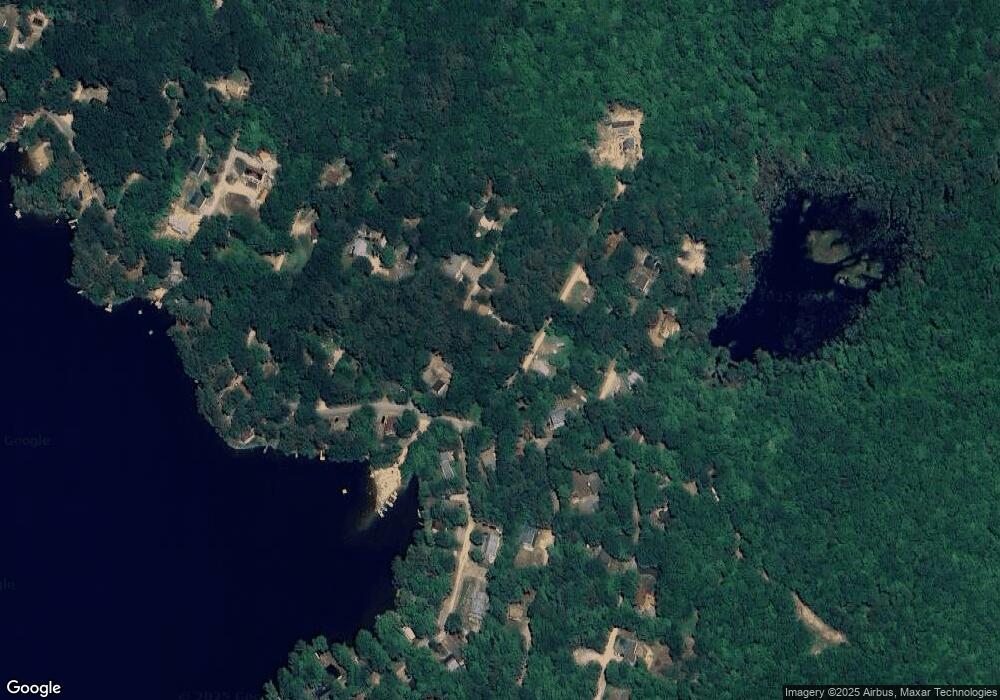
Map
Nearby Homes
- 21 Grape Ave
- 277 Hemlock Dr
- TBD Fox Dr
- 20 Brook Ave
- 111 Fox Dr
- 80 Hemlock Dr
- 82 Sawyer Lake Rd
- 0 Munsey Hill Rd Unit 6
- 1 Munsey Hill Rd
- 140 Province Rd
- Lot #2 New Hampshire 140
- Lot #3 New Hampshire 140
- 47 Dock Rd
- 518 Province Rd
- 36 Bennington Dr
- 626 Province Rd
- 969 New Hampshire 140
- 36 Country Side Cir
- 00 Intervale Dr Unit 51
- 226 Wild Acres Rd
Your Personal Tour Guide
Ask me questions while you tour the home.