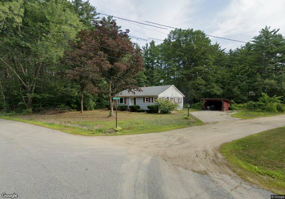
9 Lee Ln Conway, NH 03818
Estimated Value: $294,000 - $377,000
3
Beds
1
Bath
1,120
Sq Ft
$295/Sq Ft
Est. Value
About This Home
This home is located at 9 Lee Ln, Conway, NH 03818 and is currently estimated at $330,327, approximately $294 per square foot. 9 Lee Ln is a home located in Carroll County with nearby schools including A. Crosby Kennett Middle School, Kennett High School, and Robert Frost Charter School.
Ownership History
Date
Name
Owned For
Owner Type
Purchase Details
Closed on
Nov 19, 2008
Sold by
Comire Brian E and Chute Julie M
Bought by
Ouellette Michelle L
Current Estimated Value
Home Financials for this Owner
Home Financials are based on the most recent Mortgage that was taken out on this home.
Original Mortgage
$142,496
Interest Rate
6.03%
Mortgage Type
Purchase Money Mortgage
Create a Home Valuation Report for This Property
The Home Valuation Report is an in-depth analysis detailing your home's value as well as a comparison with similar homes in the area
Home Values in the Area
Average Home Value in this Area
Purchase History
| Date | Buyer | Sale Price | Title Company |
|---|---|---|---|
| Ouellette Michelle L | $150,000 | -- |
Source: Public Records
Mortgage History
| Date | Status | Borrower | Loan Amount |
|---|---|---|---|
| Open | Ouellette Michelle L | $138,218 | |
| Closed | Ouellette Michelle L | $142,496 |
Source: Public Records
Tax History Compared to Growth
Tax History
| Year | Tax Paid | Tax Assessment Tax Assessment Total Assessment is a certain percentage of the fair market value that is determined by local assessors to be the total taxable value of land and additions on the property. | Land | Improvement |
|---|---|---|---|---|
| 2024 | $3,364 | $278,000 | $88,200 | $189,800 |
| 2023 | $3,033 | $278,000 | $88,200 | $189,800 |
| 2022 | $2,895 | $160,300 | $68,900 | $91,400 |
| 2021 | $2,619 | $160,300 | $68,900 | $91,400 |
| 2020 | $2,780 | $160,300 | $68,900 | $91,400 |
| 2019 | $2,776 | $160,300 | $68,900 | $91,400 |
| 2018 | $2,657 | $127,300 | $54,000 | $73,300 |
| 2017 | $2,543 | $127,300 | $54,000 | $73,300 |
| 2016 | $2,458 | $127,300 | $54,000 | $73,300 |
| 2015 | $2,430 | $127,300 | $54,000 | $73,300 |
| 2014 | $2,401 | $127,300 | $54,000 | $73,300 |
| 2013 | $2,299 | $128,700 | $54,000 | $74,700 |
Source: Public Records
Map
Nearby Homes
- 65 Westwind Dr
- 115 Swift Valley Rd
- 66 Lamplighter's Dr
- 74 Lamplighter's Dr
- 27 Firelite Rd
- 15 Trailer Ave
- 123 Oxbow Ln
- 9 E Side Rd
- 0 W Side Rd Unit 54 5049810
- 64 Grandview Rd
- 68 Grandview Rd
- 357 Lamplighters Dr
- 26 Campfire St
- 30 Moat Brook Dr
- 78 B St
- 20 Washington St
- 6 Main St
- 196 E Main St Unit 5 (old 103)
- 33 Longbow Dr
- 357 Lamplighters Park