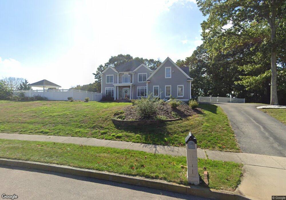
9 Leeward Ln Unit (Noank) Groton, CT 06340
Noank NeighborhoodEstimated Value: $1,049,000 - $1,105,734
4
Beds
4
Baths
4,067
Sq Ft
$264/Sq Ft
Est. Value
About This Home
This home is located at 9 Leeward Ln Unit (Noank), Groton, CT 06340 and is currently estimated at $1,075,184, approximately $264 per square foot. 9 Leeward Ln Unit (Noank) is a home located in New London County with nearby schools including Groton Middle School and Robert E. Fitch High School.
Ownership History
Date
Name
Owned For
Owner Type
Purchase Details
Closed on
Sep 3, 2025
Sold by
Horgan William E
Bought by
Lane Sara and Hoyt Tara
Current Estimated Value
Purchase Details
Closed on
Jan 13, 2016
Sold by
Wolf Eric R and Wolf Lesley J
Bought by
Horgan William E
Home Financials for this Owner
Home Financials are based on the most recent Mortgage that was taken out on this home.
Original Mortgage
$532,000
Interest Rate
3.97%
Mortgage Type
Purchase Money Mortgage
Purchase Details
Closed on
Sep 1, 2009
Sold by
Pappas Judith F and Pappas Christopher D
Bought by
Wolf Eric R and Wolf Lesley J
Purchase Details
Closed on
Oct 30, 1998
Sold by
Cherenzia Excavation
Bought by
Pappas Judith F and Pappas Christopher D
Purchase Details
Closed on
Jun 16, 1998
Sold by
Braebourne Est Llc
Bought by
Cherenzia Excavation
Create a Home Valuation Report for This Property
The Home Valuation Report is an in-depth analysis detailing your home's value as well as a comparison with similar homes in the area
Home Values in the Area
Average Home Value in this Area
Purchase History
| Date | Buyer | Sale Price | Title Company |
|---|---|---|---|
| Lane Sara | $1,050,000 | -- | |
| Horgan William E | $560,000 | -- | |
| Horgan William E | $560,000 | -- | |
| Wolf Eric R | -- | -- | |
| Wolf Eric R | -- | -- | |
| Pappas Judith F | $110,000 | -- | |
| Pappas Judith F | $110,000 | -- | |
| Cherenzia Excavation | $575,000 | -- |
Source: Public Records
Mortgage History
| Date | Status | Borrower | Loan Amount |
|---|---|---|---|
| Previous Owner | Horgan William E | $532,000 | |
| Previous Owner | Cherenzia Excavation | $270,000 | |
| Previous Owner | Cherenzia Excavation | $35,000 |
Source: Public Records
Tax History Compared to Growth
Tax History
| Year | Tax Paid | Tax Assessment Tax Assessment Total Assessment is a certain percentage of the fair market value that is determined by local assessors to be the total taxable value of land and additions on the property. | Land | Improvement |
|---|---|---|---|---|
| 2025 | $13,657 | $517,720 | $220,976 | $296,744 |
| 2024 | $12,751 | $517,720 | $220,976 | $296,744 |
| 2023 | $12,223 | $517,720 | $93,800 | $423,920 |
| 2022 | $11,975 | $517,720 | $93,800 | $423,920 |
| 2021 | $11,685 | $422,450 | $69,510 | $352,940 |
| 2020 | $11,385 | $422,450 | $69,510 | $352,940 |
| 2019 | $10,870 | $422,450 | $69,510 | $352,940 |
| 2018 | $10,798 | $422,450 | $69,510 | $352,940 |
| 2017 | $10,120 | $402,850 | $69,510 | $333,340 |
| 2016 | $11,875 | $511,420 | $106,750 | $404,670 |
| 2015 | $11,425 | $511,420 | $106,750 | $404,670 |
| 2014 | $11,134 | $511,420 | $106,750 | $404,670 |
Source: Public Records
Map
Nearby Homes
- 17 Leeward Ln
- 44 Windrose Dr
- 113 Crosswinds Dr
- 131 Crosswinds Dr
- 110 Crosswinds Dr
- 10 Talewinds Ln
- 126 Crosswinds Dr
- 30 Windrose Dr
- 22 Leeward Ln
- 148 Crosswinds Dr
- 26 Talewinds Ln
- 98 Crosswinds Dr
- 25 Leeward Ln
- 19 Leeward Ln
- 12 Windrose Dr
- 175 Crosswinds Dr
- 5 Talewinds Ln
- 38 Talewinds Ln
- 86 Crosswinds Dr
- 91 Crosswinds Dr