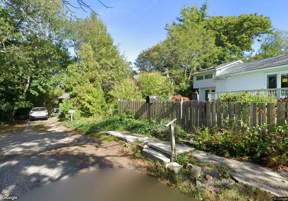
9 Lighthouse Way Gloucester, MA 01930
East Gloucester NeighborhoodEstimated Value: $744,000 - $966,000
3
Beds
1
Bath
1,272
Sq Ft
$675/Sq Ft
Est. Value
About This Home
This home is located at 9 Lighthouse Way, Gloucester, MA 01930 and is currently estimated at $858,458, approximately $674 per square foot. 9 Lighthouse Way is a home located in Essex County with nearby schools including East Gloucester Elementary School, Ralph B O'maley Middle School, and Gloucester High School.
Ownership History
Date
Name
Owned For
Owner Type
Purchase Details
Closed on
Mar 16, 2019
Sold by
Johnson Wendy K and Novak Bruce
Bought by
Novak Bruce
Current Estimated Value
Purchase Details
Closed on
Jun 30, 2008
Sold by
Johnson Wendy K
Bought by
Johnson Wendy K
Home Financials for this Owner
Home Financials are based on the most recent Mortgage that was taken out on this home.
Original Mortgage
$203,000
Interest Rate
6.07%
Mortgage Type
Purchase Money Mortgage
Create a Home Valuation Report for This Property
The Home Valuation Report is an in-depth analysis detailing your home's value as well as a comparison with similar homes in the area
Home Values in the Area
Average Home Value in this Area
Purchase History
| Date | Buyer | Sale Price | Title Company |
|---|---|---|---|
| Novak Bruce | $70,000 | None Available | |
| Johnson Wendy K | -- | -- |
Source: Public Records
Mortgage History
| Date | Status | Borrower | Loan Amount |
|---|---|---|---|
| Previous Owner | Johnson Wendy K | $203,000 | |
| Previous Owner | Johnson Wendy K | $165,000 | |
| Previous Owner | Johnson Wendy K | $124,000 |
Source: Public Records
Tax History
| Year | Tax Paid | Tax Assessment Tax Assessment Total Assessment is a certain percentage of the fair market value that is determined by local assessors to be the total taxable value of land and additions on the property. | Land | Improvement |
|---|---|---|---|---|
| 2025 | $6,274 | $645,500 | $355,000 | $290,500 |
| 2024 | $6,164 | $633,500 | $338,100 | $295,400 |
| 2023 | $5,912 | $558,300 | $302,000 | $256,300 |
| 2022 | $5,763 | $491,300 | $262,600 | $228,700 |
| 2021 | $5,791 | $465,500 | $238,800 | $226,700 |
| 2020 | $5,132 | $416,200 | $195,700 | $220,500 |
| 2019 | $5,060 | $398,700 | $195,700 | $203,000 |
| 2018 | $4,880 | $377,400 | $195,700 | $181,700 |
| 2017 | $4,221 | $320,000 | $146,900 | $173,100 |
| 2016 | $4,031 | $296,200 | $147,400 | $148,800 |
| 2015 | $3,878 | $284,100 | $147,400 | $136,700 |
Source: Public Records
Map
Nearby Homes
- 15 Raven Ln Unit 15
- 1 Wonson St
- 10 Seaview Rd
- 11 Ocean View Dr
- 73 Rocky Neck Ave Unit 2
- 60 Rocky Neck Ave Unit 202
- 197 E Main St Unit 1
- 30 Chapel St Unit B
- 191 Main St Unit 3
- 191 Main St Unit 2A
- 100 Eastern Point Blvd
- 33 Middle St
- 35 Middle St Unit 4
- 139A Prospect St
- 87 Atlantic Rd Unit 2
- 3 Mondello Square
- 15 Mount Vernon St
- 20 Beacon St
- 20 Beacon St Unit 2
- 20 Beacon St Unit 1
- 7 Lighthouse Way
- 9 Grapevine Rd
- 52 Eastern Point Rd
- 6 Lighthouse Way
- 5 Lighthouse Way
- 4 Lighthouse Way
- 62-64 Eastern Point Blvd
- 7 Grapevine Rd
- 5 Grapevine Rd
- 2 Lighthouse Way Unit B
- 2 Lighthouse Way Unit A
- 2 Lighthouse Way Unit 2A
- 2 Locust Ln
- 42 Eastern Point Rd
- 3 Grapevine Rd
- 40 Eastern Point Rd
- 56 Eastern Point Rd
- 5 Locust Ln
- 17 Grapevine Rd
- 1 Grapevine Rd
Your Personal Tour Guide
Ask me questions while you tour the home.