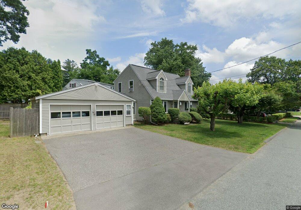
9 Lodge Rd Natick, MA 01760
Estimated Value: $697,000 - $790,000
3
Beds
3
Baths
1,456
Sq Ft
$513/Sq Ft
Est. Value
About This Home
This home is located at 9 Lodge Rd, Natick, MA 01760 and is currently estimated at $746,456, approximately $512 per square foot. 9 Lodge Rd is a home located in Middlesex County with nearby schools including Natick High School, J F Kennedy Middle School, and Brown Elementary School.
Ownership History
Date
Name
Owned For
Owner Type
Purchase Details
Closed on
Aug 10, 1992
Sold by
Johnson William J and Johnson Anna M
Bought by
Crockett Dennis P and Crockett Linda J
Current Estimated Value
Home Financials for this Owner
Home Financials are based on the most recent Mortgage that was taken out on this home.
Original Mortgage
$85,000
Interest Rate
8.4%
Mortgage Type
Purchase Money Mortgage
Create a Home Valuation Report for This Property
The Home Valuation Report is an in-depth analysis detailing your home's value as well as a comparison with similar homes in the area
Home Values in the Area
Average Home Value in this Area
Purchase History
| Date | Buyer | Sale Price | Title Company |
|---|---|---|---|
| Crockett Dennis P | $125,000 | -- |
Source: Public Records
Mortgage History
| Date | Status | Borrower | Loan Amount |
|---|---|---|---|
| Open | Crockett Dennis P | $95,000 | |
| Closed | Crockett Dennis P | $13,000 | |
| Closed | Crockett Dennis P | $85,000 |
Source: Public Records
Tax History
| Year | Tax Paid | Tax Assessment Tax Assessment Total Assessment is a certain percentage of the fair market value that is determined by local assessors to be the total taxable value of land and additions on the property. | Land | Improvement |
|---|---|---|---|---|
| 2025 | $7,419 | $620,300 | $396,800 | $223,500 |
| 2024 | $7,149 | $583,100 | $373,500 | $209,600 |
| 2023 | $7,162 | $566,600 | $359,500 | $207,100 |
| 2022 | $6,931 | $519,600 | $326,800 | $192,800 |
| 2021 | $12,310 | $488,900 | $308,100 | $180,800 |
| 2020 | $6,463 | $474,900 | $294,100 | $180,800 |
| 2019 | $5,135 | $474,900 | $294,100 | $180,800 |
| 2018 | $5,888 | $451,200 | $280,100 | $171,100 |
| 2017 | $5,478 | $406,100 | $238,100 | $168,000 |
| 2016 | $5,139 | $378,700 | $212,300 | $166,400 |
| 2015 | $4,919 | $355,900 | $212,300 | $143,600 |
Source: Public Records
Map
Nearby Homes
- 15 Edwards Rd
- 21 Kelsey Rd
- 26 Wellesley Ave Unit B
- 79 Speen St
- 54 Pilgrim Rd
- 36 Silver Hill Ln Unit 21
- 46 Silver Hill Ln Unit 1
- 3 Silver Hill Ln Unit 6
- 1 Post Oak Ln Unit 19
- 8 Village Way Unit 11
- 3 Oxbow Rd
- 15 Village Way Unit 8
- 27 2nd St
- 57 Village Brook Ln Unit 5
- 89 W Central St
- 28 Sylvester Rd
- 34 Walden Dr Unit 5
- 30 Walden Dr Unit 7
- 8 Walden Dr Unit 13
- 52 Village Brook Ln Unit 14
Your Personal Tour Guide
Ask me questions while you tour the home.