Estimated Value: $551,000 - $680,000
3
Beds
2
Baths
1,364
Sq Ft
$455/Sq Ft
Est. Value
About This Home
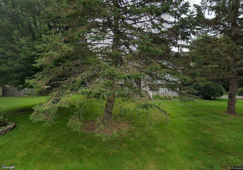
This home is located at 9 Lois Ln, Salem, NH 03079 and is currently estimated at $620,677, approximately $455 per square foot. 9 Lois Ln is a home located in Rockingham County with nearby schools including Dr. L.F. Soule School, Woodbury School, and Salem High School.
Ownership History
Date
Name
Owned For
Owner Type
Purchase Details
Closed on
Jul 6, 2020
Sold by
Martin Kerry D and Matin Brian E
Bought by
Driscoll Kelly
Current Estimated Value
Home Financials for this Owner
Home Financials are based on the most recent Mortgage that was taken out on this home.
Original Mortgage
$417,302
Outstanding Balance
$370,036
Interest Rate
3.1%
Mortgage Type
FHA
Estimated Equity
$250,641
Purchase Details
Closed on
Jun 26, 1998
Sold by
Zalewski Alan E
Bought by
Martin David F and Martin Claire L
Create a Home Valuation Report for This Property
The Home Valuation Report is an in-depth analysis detailing your home's value as well as a comparison with similar homes in the area
Home Values in the Area
Average Home Value in this Area
Purchase History
| Date | Buyer | Sale Price | Title Company |
|---|---|---|---|
| Driscoll Kelly | $425,000 | None Available | |
| Martin David F | $163,000 | -- |
Source: Public Records
Mortgage History
| Date | Status | Borrower | Loan Amount |
|---|---|---|---|
| Open | Driscoll Kelly | $417,302 |
Source: Public Records
Tax History Compared to Growth
Tax History
| Year | Tax Paid | Tax Assessment Tax Assessment Total Assessment is a certain percentage of the fair market value that is determined by local assessors to be the total taxable value of land and additions on the property. | Land | Improvement |
|---|---|---|---|---|
| 2024 | $8,541 | $485,300 | $171,300 | $314,000 |
| 2023 | $8,231 | $485,300 | $171,300 | $314,000 |
| 2022 | $7,789 | $485,300 | $171,300 | $314,000 |
| 2021 | $7,755 | $485,300 | $171,300 | $314,000 |
| 2020 | $6,908 | $313,700 | $122,300 | $191,400 |
| 2019 | $6,895 | $313,700 | $122,300 | $191,400 |
| 2018 | $6,296 | $299,200 | $122,300 | $176,900 |
| 2017 | $6,113 | $299,200 | $122,300 | $176,900 |
| 2016 | $6,113 | $299,200 | $122,300 | $176,900 |
| 2015 | $5,668 | $265,000 | $121,500 | $143,500 |
| 2014 | $5,509 | $265,000 | $121,500 | $143,500 |
| 2013 | $5,422 | $265,000 | $121,500 | $143,500 |
Source: Public Records
Map
Nearby Homes
- 117 Cluff Crossing Rd Unit 21
- 28 Chatham Cir
- 7 Lancelot Ct Unit 4
- 7 Tiffany Rd Unit 3
- 40 Hagop Rd
- 30 Hagop Rd
- 11 Tiffany Rd Unit 1
- 99 Cluff Crossing Rd Unit 7
- 18 Artisan Dr Unit 419
- 59 Cluff Rd Unit 16
- 59 Cluff Rd Unit 41
- 75 S Policy St Unit 45
- 25 Marie Ave
- 10 Braemoor Woods Rd Unit 202
- 3 Friendship Dr
- 12 Friendship Dr
- 39 Ticklefancy Ln
- 13 Silver Brook Rd
- 1 Chianti Dr
- 60 Brookwood Dr