9 Longworth Ave Unit 123 Brockton, MA 02301
Campello NeighborhoodEstimated Value: $244,000 - $305,000
2
Beds
1
Bath
880
Sq Ft
$298/Sq Ft
Est. Value
About This Home
This home is located at 9 Longworth Ave Unit 123, Brockton, MA 02301 and is currently estimated at $261,871, approximately $297 per square foot. 9 Longworth Ave Unit 123 is a home located in Plymouth County with nearby schools including Davis K-8 School, John F. Kennedy Elementary School, and South Middle School.
Ownership History
Date
Name
Owned For
Owner Type
Purchase Details
Closed on
Mar 24, 2015
Sold by
Pagani Emma E
Bought by
Parwaz Mohammad A
Current Estimated Value
Purchase Details
Closed on
Sep 26, 1991
Sold by
Heritage Pk Lngwth Rt
Bought by
Pagani Emma E
Home Financials for this Owner
Home Financials are based on the most recent Mortgage that was taken out on this home.
Original Mortgage
$84,900
Interest Rate
9.1%
Mortgage Type
Purchase Money Mortgage
Create a Home Valuation Report for This Property
The Home Valuation Report is an in-depth analysis detailing your home's value as well as a comparison with similar homes in the area
Home Values in the Area
Average Home Value in this Area
Purchase History
| Date | Buyer | Sale Price | Title Company |
|---|---|---|---|
| Parwaz Mohammad A | $54,159 | -- | |
| Pagani Emma E | $84,900 | -- |
Source: Public Records
Mortgage History
| Date | Status | Borrower | Loan Amount |
|---|---|---|---|
| Previous Owner | Pagani Emma E | $69,500 | |
| Previous Owner | Pagani Emma E | $84,900 |
Source: Public Records
Tax History Compared to Growth
Tax History
| Year | Tax Paid | Tax Assessment Tax Assessment Total Assessment is a certain percentage of the fair market value that is determined by local assessors to be the total taxable value of land and additions on the property. | Land | Improvement |
|---|---|---|---|---|
| 2025 | $2,607 | $215,300 | $0 | $215,300 |
| 2024 | $2,477 | $206,100 | $0 | $206,100 |
| 2023 | $2,299 | $177,100 | $0 | $177,100 |
| 2022 | $2,114 | $151,300 | $0 | $151,300 |
| 2021 | $2,098 | $144,700 | $0 | $144,700 |
| 2020 | $1,870 | $123,400 | $0 | $123,400 |
| 2019 | $1,681 | $108,200 | $0 | $108,200 |
| 2018 | $1,522 | $94,800 | $0 | $94,800 |
| 2017 | $1,468 | $91,200 | $0 | $91,200 |
| 2016 | $1,295 | $74,620 | $0 | $74,620 |
| 2015 | $1,099 | $60,530 | $0 | $60,530 |
| 2014 | $1,020 | $56,270 | $0 | $56,270 |
Source: Public Records
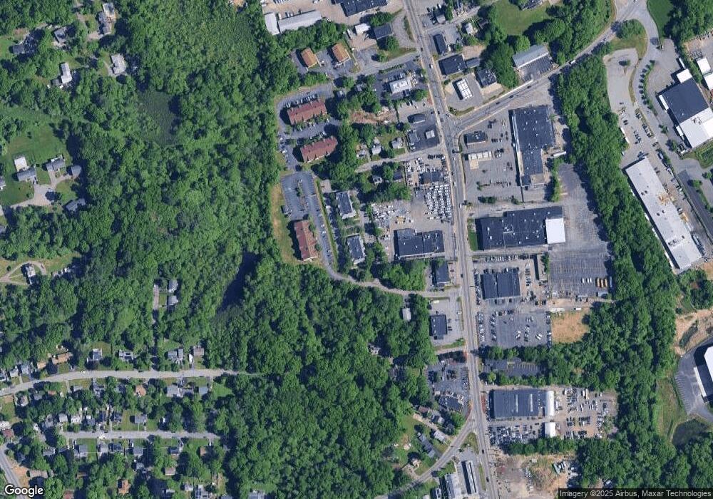
Map
Nearby Homes
- 15 Longworth Ave Unit 231
- 35 Longworth Ave Unit 17
- 358 Copeland St
- 13 Finny's Way
- 15 Fieldstone Dr
- 47 Southworth St
- 1 Fairway Dr
- 163 S Leyden St
- 115 Market St
- 223 Clinton St Unit 10
- 223 Clinton St Unit 3
- 16 Friendship Dr
- 65 Tremont St
- 122 Sinclair Rd
- 21 Roosevelt Ave
- 44 Baker St
- 139 Geralynn Dr
- 977 Warren Ave
- 18 American Ave
- 24 Ithica Rd
- 9 Longworth Ave Unit 136
- 9 Longworth Ave Unit 135
- 9 Longworth Ave Unit 134
- 9 Longworth Ave Unit 133
- 9 Longworth Ave Unit 132
- 9 Longworth Ave Unit 131
- 9 Longworth Ave Unit 126
- 9 Longworth Ave Unit 125
- 9 Longworth Ave Unit 124
- 9 Longworth Ave Unit 122
- 9 Longworth Ave Unit 121
- 9 Longworth Ave Unit 116
- 9 Longworth Ave Unit 115
- 9 Longworth Ave Unit 114
- 9 Longworth Ave Unit 113
- 9 Longworth Ave Unit 112
- 9 Longworth Ave Unit 111
- 9 Longworth Ave Unit 124 - 9
- 9 Longworth Ave Unit 129 9
- 15 Longworth Ave Unit 236