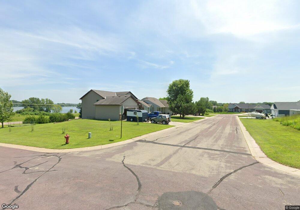
9 Lynae Cir Elysian, MN 56028
Estimated Value: $382,072 - $453,000
3
Beds
3
Baths
1,420
Sq Ft
$301/Sq Ft
Est. Value
About This Home
This home is located at 9 Lynae Cir, Elysian, MN 56028 and is currently estimated at $428,018, approximately $301 per square foot. 9 Lynae Cir is a home located in Le Sueur County with nearby schools including Waterville Elementary School, Morristown Elementary School, and Waterville-Elysian-Morristown Junior High School.
Ownership History
Date
Name
Owned For
Owner Type
Purchase Details
Closed on
Jul 29, 2014
Sold by
James E James E and Roemhildt Barbara E
Bought by
Lueck Brian R and Lueck Jolene H
Current Estimated Value
Home Financials for this Owner
Home Financials are based on the most recent Mortgage that was taken out on this home.
Original Mortgage
$21,400
Outstanding Balance
$16,366
Interest Rate
4.19%
Mortgage Type
New Conventional
Estimated Equity
$411,652
Create a Home Valuation Report for This Property
The Home Valuation Report is an in-depth analysis detailing your home's value as well as a comparison with similar homes in the area
Purchase History
| Date | Buyer | Sale Price | Title Company |
|---|---|---|---|
| Lueck Brian R | -- | -- |
Source: Public Records
Mortgage History
| Date | Status | Borrower | Loan Amount |
|---|---|---|---|
| Open | Lueck Brian R | $21,400 |
Source: Public Records
Tax History
| Year | Tax Paid | Tax Assessment Tax Assessment Total Assessment is a certain percentage of the fair market value that is determined by local assessors to be the total taxable value of land and additions on the property. | Land | Improvement |
|---|---|---|---|---|
| 2025 | $4,622 | $353,400 | $59,100 | $294,300 |
| 2024 | $4,412 | $344,400 | $58,800 | $285,600 |
| 2023 | $4,402 | $335,000 | $58,800 | $276,200 |
| 2022 | $4,106 | $328,000 | $56,500 | $271,500 |
| 2021 | $4,272 | $267,000 | $56,500 | $210,500 |
| 2020 | $4,122 | $270,200 | $55,900 | $214,300 |
| 2019 | $3,854 | $246,900 | $47,732 | $199,168 |
| 2018 | $3,839 | $223,400 | $41,858 | $181,542 |
| 2017 | $2,911 | $190,900 | $40,862 | $150,038 |
| 2016 | $2,734 | $182,700 | $35,761 | $146,939 |
| 2015 | $2,719 | $178,800 | $35,634 | $143,166 |
| 2014 | $2,739 | $205,600 | $39,500 | $166,100 |
| 2013 | $2,594 | $188,400 | $39,500 | $148,900 |
Source: Public Records
Map
Nearby Homes
- 2 Marie Cir
- 125 Willow Point Dr
- 101 Shoreview Dr
- 121 Willow Point Dr
- 0 Xx Lewis Ln Unit 7025397
- 0 Xx Lewis Ln Unit 7025381
- xx Lewis Ln
- xxxxxx Lewis Ln
- -XX Jason Dr
- 49279 Sportsmans Ln
- 49189 Sportsmans Ln
- 3271 425th Ave
- 48901 N Shore Rd
- 0 N Shore Rd
- 16965 Dickenson Ln
- 707 Tetonka View Dr
- 24352 474th Ln
- 24352 474 Ln
- 921 Lillian St
- 810 N Shore Dr
Your Personal Tour Guide
Ask me questions while you tour the home.