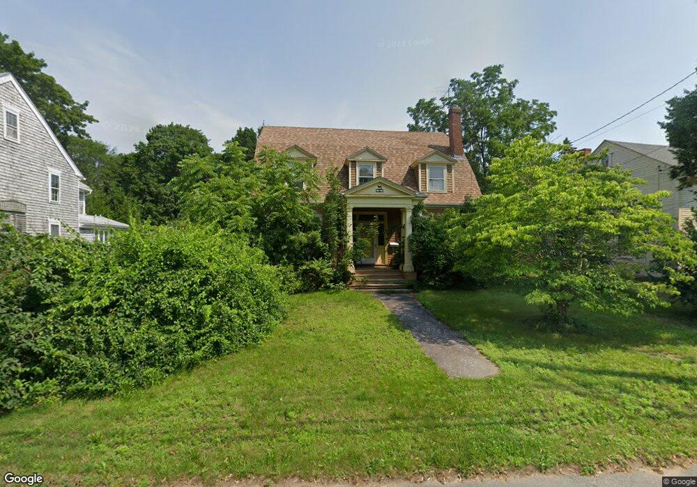
9 Main St Swansea, MA 02777
West Swansea NeighborhoodEstimated Value: $438,000 - $776,000
5
Beds
2
Baths
3,487
Sq Ft
$184/Sq Ft
Est. Value
About This Home
This home is located at 9 Main St, Swansea, MA 02777 and is currently estimated at $639,929, approximately $183 per square foot. 9 Main St is a home located in Bristol County with nearby schools including Joseph Case High School, Swansea Wood School, and SCEC Life Academy.
Ownership History
Date
Name
Owned For
Owner Type
Purchase Details
Closed on
Feb 2, 2017
Sold by
Brown Jeanne M Est
Bought by
Brown Colleen M
Current Estimated Value
Purchase Details
Closed on
Nov 4, 1983
Bought by
Brown Jeanne F and Brown Colleen M
Create a Home Valuation Report for This Property
The Home Valuation Report is an in-depth analysis detailing your home's value as well as a comparison with similar homes in the area
Home Values in the Area
Average Home Value in this Area
Purchase History
| Date | Buyer | Sale Price | Title Company |
|---|---|---|---|
| Brown Colleen M | -- | -- | |
| Brown Jeanne F | -- | -- |
Source: Public Records
Mortgage History
| Date | Status | Borrower | Loan Amount |
|---|---|---|---|
| Previous Owner | Brown Jeanne F | $80,000 | |
| Previous Owner | Brown Jeanne F | $55,000 | |
| Previous Owner | Brown Jeanne F | $48,000 |
Source: Public Records
Tax History Compared to Growth
Tax History
| Year | Tax Paid | Tax Assessment Tax Assessment Total Assessment is a certain percentage of the fair market value that is determined by local assessors to be the total taxable value of land and additions on the property. | Land | Improvement |
|---|---|---|---|---|
| 2025 | $6,020 | $505,000 | $149,000 | $356,000 |
| 2024 | $6,019 | $502,000 | $149,000 | $353,000 |
| 2023 | $5,597 | $426,300 | $109,400 | $316,900 |
| 2022 | $5,190 | $360,700 | $99,500 | $261,200 |
| 2021 | $5,138 | $328,700 | $99,500 | $229,200 |
| 2020 | $5,082 | $326,200 | $99,500 | $226,700 |
| 2019 | $5,095 | $328,500 | $88,500 | $240,000 |
| 2018 | $4,940 | $323,300 | $86,000 | $237,300 |
| 2017 | $4,259 | $320,700 | $86,000 | $234,700 |
| 2016 | $3,995 | $295,500 | $74,200 | $221,300 |
| 2015 | $3,873 | $295,000 | $74,200 | $220,800 |
| 2014 | $3,572 | $278,200 | $74,200 | $204,000 |
Source: Public Records
Map
Nearby Homes
- 147 Elm St
- 0 Hortonville Rd Unit 73242268
- 37 3rd St
- 24 Front St
- 95 Evergreen Ave
- 141 Milford Rd
- 264 Hortonville Rd
- 420 Hortonville Rd
- 265 Stevens Rd
- 0 Proprietors Way Unit 73324662
- 197 Alberta Ave
- 4 Swansom Rd
- 1 Taunton River
- 126 Jaffrey St
- 61 Stevens Rd
- 64 Jaffrey St
- 510 Sharps Lot Rd
- 0 Bark St Unit 73152576
- 0 Bark St Unit 1342599
- 115 Mellen Ave