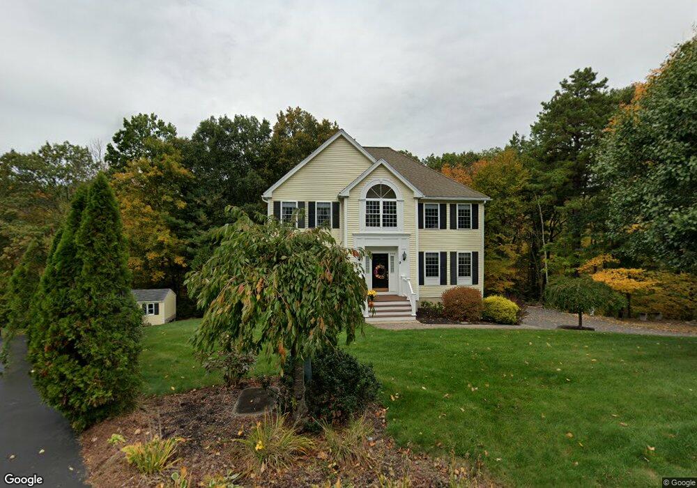
9 Maple Ridge Rd Methuen, MA 01844
The North End NeighborhoodEstimated Value: $786,799 - $848,000
3
Beds
3
Baths
2,180
Sq Ft
$372/Sq Ft
Est. Value
About This Home
This home is located at 9 Maple Ridge Rd, Methuen, MA 01844 and is currently estimated at $811,200, approximately $372 per square foot. 9 Maple Ridge Rd is a home located in Essex County with nearby schools including Methuen High School, Community Day Charter Public School - Gateway, and Saint Monica School.
Ownership History
Date
Name
Owned For
Owner Type
Purchase Details
Closed on
Jul 12, 2002
Sold by
Taslakian Mark
Bought by
Costa Stephen R and Costa Cynthia A
Current Estimated Value
Home Financials for this Owner
Home Financials are based on the most recent Mortgage that was taken out on this home.
Original Mortgage
$187,000
Interest Rate
6.79%
Mortgage Type
Purchase Money Mortgage
Create a Home Valuation Report for This Property
The Home Valuation Report is an in-depth analysis detailing your home's value as well as a comparison with similar homes in the area
Home Values in the Area
Average Home Value in this Area
Purchase History
| Date | Buyer | Sale Price | Title Company |
|---|---|---|---|
| Costa Stephen R | $375,000 | -- | |
| Costa Stephen R | $375,000 | -- |
Source: Public Records
Mortgage History
| Date | Status | Borrower | Loan Amount |
|---|---|---|---|
| Open | Costa Stephen R | $212,000 | |
| Closed | Costa Stephen R | $187,000 | |
| Previous Owner | Costa Stephen R | $258,750 |
Source: Public Records
Tax History
| Year | Tax Paid | Tax Assessment Tax Assessment Total Assessment is a certain percentage of the fair market value that is determined by local assessors to be the total taxable value of land and additions on the property. | Land | Improvement |
|---|---|---|---|---|
| 2025 | $7,655 | $723,500 | $309,200 | $414,300 |
| 2024 | $7,604 | $700,200 | $281,100 | $419,100 |
| 2023 | $7,305 | $624,400 | $251,000 | $373,400 |
| 2022 | $6,828 | $523,200 | $200,800 | $322,400 |
| 2021 | $6,446 | $488,700 | $190,700 | $298,000 |
| 2020 | $6,403 | $476,400 | $190,700 | $285,700 |
| 2019 | $6,332 | $446,200 | $180,700 | $265,500 |
| 2018 | $6,187 | $433,600 | $180,700 | $252,900 |
| 2017 | $6,043 | $412,500 | $180,700 | $231,800 |
| 2016 | $6,047 | $408,300 | $180,700 | $227,600 |
| 2015 | $5,761 | $394,600 | $180,700 | $213,900 |
Source: Public Records
Map
Nearby Homes
- 128 Pleasant Valley St
- Lot 2 Washington St
- 41 Brookdale Ave
- 5 Pilgrim Cir Unit C
- 30 Anderson Dr
- 2 Sequoia Dr Unit 2
- 27 Russell Farm Dr
- 27 Mary Lou St
- 40 Phoebe St Unit 101
- 55 Phoebe St Unit 32
- 60 Ames St
- 159-161 Howe St
- 3 Adams Ave
- 64-66 Howe St
- Lot 108 Garden City Rd
- 17 Ferry Rd
- 687 Jackson St
- 611 Prospect St
- 593 Prospect St
- 16 Christopher Dr Unit 38
- 11 Maple Ridge Rd
- 6 Maple Ridge Rd
- 7 Maple Ridge Rd
- 8 Maple Ridge Rd
- 15 Maple Ridge Rd
- 4 Maple Ridge Rd
- 10 Maple Ridge Rd
- 5 Maple Ridge Rd
- 15 Birch Hill Dr
- 17 Maple Ridge Rd
- 17 Birch Hill Dr
- 11 Birch Hill Dr
- 9 Birch Hill Dr
- 3 Maple Ridge Rd
- 12 Maple Ridge Rd
- 19 Maple Ridge Rd
- 1 Maple Ridge Rd
- 21 Maple Ridge Rd
- 12 Birch Hill Dr
- 16 Birch Hill Dr
Your Personal Tour Guide
Ask me questions while you tour the home.