9 Maplecrest Ln Colts Neck, NJ 07722
Estimated Value: $1,091,000 - $1,868,000
4
Beds
--
Bath
3,154
Sq Ft
$441/Sq Ft
Est. Value
About This Home
This home is located at 9 Maplecrest Ln, Colts Neck, NJ 07722 and is currently estimated at $1,390,740, approximately $440 per square foot. 9 Maplecrest Ln is a home located in Monmouth County with nearby schools including Conover Road School, Cedar Drive Middle School, and Colts Neck High School.
Ownership History
Date
Name
Owned For
Owner Type
Purchase Details
Closed on
Oct 24, 2009
Sold by
Link Richard and Link Carol
Bought by
Brain Joseph and Van Kippersluis Wi Jnanda
Current Estimated Value
Home Financials for this Owner
Home Financials are based on the most recent Mortgage that was taken out on this home.
Original Mortgage
$400,000
Interest Rate
4.98%
Mortgage Type
New Conventional
Create a Home Valuation Report for This Property
The Home Valuation Report is an in-depth analysis detailing your home's value as well as a comparison with similar homes in the area
Home Values in the Area
Average Home Value in this Area
Purchase History
| Date | Buyer | Sale Price | Title Company |
|---|---|---|---|
| Brain Joseph | $750,000 | Scott Title Services Llc |
Source: Public Records
Mortgage History
| Date | Status | Borrower | Loan Amount |
|---|---|---|---|
| Closed | Brain Joseph | $400,000 |
Source: Public Records
Tax History Compared to Growth
Tax History
| Year | Tax Paid | Tax Assessment Tax Assessment Total Assessment is a certain percentage of the fair market value that is determined by local assessors to be the total taxable value of land and additions on the property. | Land | Improvement |
|---|---|---|---|---|
| 2025 | $13,432 | $1,077,800 | $483,600 | $594,200 |
| 2024 | $13,240 | $901,500 | $343,400 | $558,100 |
| 2023 | $13,240 | $850,900 | $323,400 | $527,500 |
| 2022 | $13,268 | $794,800 | $303,400 | $491,400 |
| 2021 | $13,268 | $759,900 | $293,400 | $466,500 |
| 2020 | $13,110 | $743,200 | $293,400 | $449,800 |
| 2019 | $12,989 | $737,600 | $293,400 | $444,200 |
| 2018 | $12,995 | $732,100 | $293,400 | $438,700 |
| 2017 | $13,321 | $753,000 | $303,400 | $449,600 |
| 2016 | $12,898 | $745,100 | $298,400 | $446,700 |
| 2015 | $12,728 | $733,600 | $298,400 | $435,200 |
| 2014 | $12,015 | $712,200 | $326,000 | $386,200 |
Source: Public Records
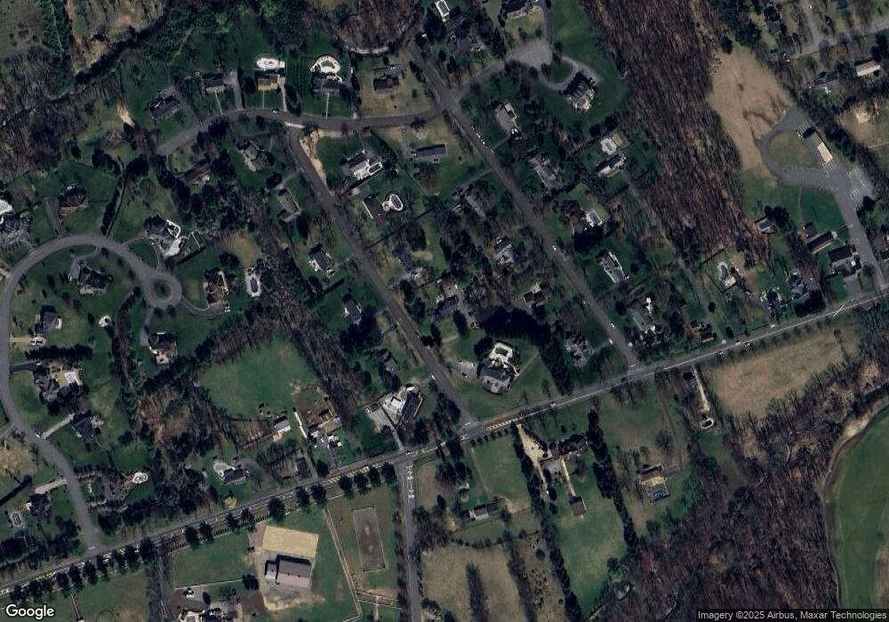
Map
Nearby Homes
- 0 Hominy Hill Rd
- 152 Bucks Mill Rd
- 4 Brookside Dr
- 5 Pheasant Rd
- 24 Willow Lake Dr
- 233-237 County Road 537
- 249 County Road 537
- 145 Heulitt Rd
- 97 Stone Hill Rd
- 17 Woods End Rd
- 3 Colts Gait Ln
- 39 Primrose Ln
- 151 Dutch Lane Rd
- 48 Homestead Rd
- 4 Oxford Key
- 188 Five Points Rd
- 37 Glenbrook Rd
- 784 State Route 34
- 10 Nicholson Key
- 32 Joysan Terrace
- 17 Maplecrest Ln
- 5 Maplecrest Ln
- 13 Millbrook Ln
- 9 Millbrook Ln
- 8 Maplecrest Ln
- 19 Millbrook Ln
- 4 Maplecrest Ln
- 12 Maplecrest Ln
- 21 Maplecrest Ln
- 5 Millbrook Ln
- 108 County Road 537
- 12 Millbrook Ln
- 124 County Road 537 W
- 103 County Road 537
- 8 Millbrook Ln
- 16 Maplecrest Ln
- 29 Stoney Creek Ln
- 16 Millbrook Ln
- 33 Stoney Creek Ln
- 77 County Road 537 W