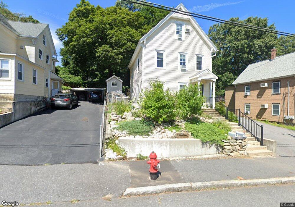
9 Mason St Unit 9A Hudson, MA 01749
Estimated Value: $509,000 - $596,562
--
Bed
2
Baths
--
Sq Ft
4,792
Sq Ft Lot
About This Home
This home is located at 9 Mason St Unit 9A, Hudson, MA 01749 and is currently estimated at $562,391. 9 Mason St Unit 9A is a home located in Middlesex County with nearby schools including David J. Quinn Middle School, Hudson High School, and First Steps Children's Center.
Ownership History
Date
Name
Owned For
Owner Type
Purchase Details
Closed on
Jun 14, 1999
Sold by
Harwood John I and Harwood Suzanne R
Bought by
Peters Timothy M and Peters Lisa M
Current Estimated Value
Create a Home Valuation Report for This Property
The Home Valuation Report is an in-depth analysis detailing your home's value as well as a comparison with similar homes in the area
Home Values in the Area
Average Home Value in this Area
Purchase History
| Date | Buyer | Sale Price | Title Company |
|---|---|---|---|
| Peters Timothy M | $131,500 | -- |
Source: Public Records
Mortgage History
| Date | Status | Borrower | Loan Amount |
|---|---|---|---|
| Open | Peters Timothy M | $168,000 | |
| Closed | Peters Timothy M | $30,000 |
Source: Public Records
Tax History Compared to Growth
Tax History
| Year | Tax Paid | Tax Assessment Tax Assessment Total Assessment is a certain percentage of the fair market value that is determined by local assessors to be the total taxable value of land and additions on the property. | Land | Improvement |
|---|---|---|---|---|
| 2025 | $5,787 | $416,900 | $154,200 | $262,700 |
| 2024 | $5,506 | $393,300 | $140,100 | $253,200 |
| 2023 | $5,869 | $402,000 | $134,800 | $267,200 |
| 2022 | $5,765 | $363,500 | $122,500 | $241,000 |
| 2021 | $6,165 | $371,600 | $116,700 | $254,900 |
| 2020 | $5,905 | $355,500 | $114,500 | $241,000 |
| 2019 | $5,814 | $341,400 | $114,500 | $226,900 |
| 2018 | $4,509 | $309,900 | $109,000 | $200,900 |
| 2017 | $4,930 | $281,700 | $103,800 | $177,900 |
| 2016 | $4,447 | $257,200 | $103,800 | $153,400 |
| 2015 | $4,221 | $244,400 | $103,800 | $140,600 |
| 2014 | $4,083 | $234,400 | $91,000 | $143,400 |
Source: Public Records
Map
Nearby Homes
- 16 Houghton St
- 11 Barracks Rd Unit 11
- 9 Barracks Rd Unit 9
- 3 Barracks Rd Unit 3
- 7 Barracks Rd Unit 7
- 5 Barracks Rd Unit 5
- 17 School St Unit C
- 17 School St Unit A
- 65 Main St
- 107 Washington St
- 34 Forest Ave
- 248 Main St Unit 207
- 248 Main St Unit 216
- 56 Park St
- 56 Forest Ave
- 18-24 River St Unit 1
- 243 Washington St
- 4 Linden St
- 0 Washington St
- 21 Gates Ave