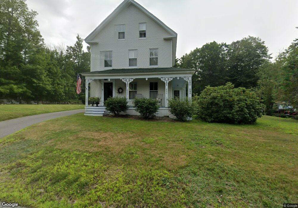
9 Middleton Rd Wolfeboro, NH 03894
Estimated Value: $460,000 - $622,000
4
Beds
3
Baths
2,632
Sq Ft
$207/Sq Ft
Est. Value
About This Home
This home is located at 9 Middleton Rd, Wolfeboro, NH 03894 and is currently estimated at $543,573, approximately $206 per square foot. 9 Middleton Rd is a home located in Carroll County with nearby schools including Crescent Lake School, Carpenter Elementary School, and Kingswood Regional Middle School.
Ownership History
Date
Name
Owned For
Owner Type
Purchase Details
Closed on
Jul 26, 2005
Sold by
Louise M Spinney T
Bought by
Saunders Mark A and Saunders Kelly M
Current Estimated Value
Home Financials for this Owner
Home Financials are based on the most recent Mortgage that was taken out on this home.
Original Mortgage
$260,000
Interest Rate
5.59%
Mortgage Type
Purchase Money Mortgage
Create a Home Valuation Report for This Property
The Home Valuation Report is an in-depth analysis detailing your home's value as well as a comparison with similar homes in the area
Home Values in the Area
Average Home Value in this Area
Purchase History
| Date | Buyer | Sale Price | Title Company |
|---|---|---|---|
| Saunders Mark A | $325,000 | -- |
Source: Public Records
Mortgage History
| Date | Status | Borrower | Loan Amount |
|---|---|---|---|
| Open | Saunders Mark A | $240,010 | |
| Closed | Saunders Mark A | $260,000 |
Source: Public Records
Tax History Compared to Growth
Tax History
| Year | Tax Paid | Tax Assessment Tax Assessment Total Assessment is a certain percentage of the fair market value that is determined by local assessors to be the total taxable value of land and additions on the property. | Land | Improvement |
|---|---|---|---|---|
| 2024 | $4,692 | $295,100 | $78,900 | $216,200 |
| 2023 | $4,338 | $295,300 | $78,900 | $216,400 |
| 2022 | $3,904 | $295,300 | $78,900 | $216,400 |
| 2021 | $4,037 | $295,300 | $78,900 | $216,400 |
| 2020 | $3,842 | $295,300 | $78,900 | $216,400 |
| 2019 | $3,958 | $249,900 | $67,400 | $182,500 |
| 2018 | $3,948 | $249,900 | $67,400 | $182,500 |
| 2017 | $3,744 | $249,900 | $67,400 | $182,500 |
| 2016 | $3,656 | $249,900 | $67,400 | $182,500 |
| 2015 | $3,486 | $249,900 | $67,400 | $182,500 |
| 2014 | $3,027 | $232,700 | $54,000 | $178,700 |
| 2013 | $2,986 | $232,700 | $54,000 | $178,700 |
Source: Public Records
Map
Nearby Homes
- 45 Winnipesaukee Dr
- 87 Middleton Rd
- 106 Middleton Rd
- 116 Middleton Rd
- 18-8 Winnipesaukee Dr
- 267-23 Winnipesaukee Dr
- 00 Winnipesaukee Dr Unit 10
- 39 Winnipesaukee Dr
- 87 Timberlane P
- 5 Delings Cove Rd
- 0 Long Stack Ln
- 337 S Main St Unit Interval week 4 Janu
- 21 Goodrich Rd
- 79 S Main St
- 163 Clark Rd
- 117 Hayes Rd
- 79 River St
- 108 Whitten Neck Rd
- 12 Middleton Rd
- 5 Middleton Rd
- 15 Middleton Rd
- 644 S Main St
- 0 Lot #2 Middleton Rd
- 1 Middleton Rd
- 0 Lot #1 Middleton Rd Unit 4050957
- 26 Middleton Rd
- 00 Middleton Rd
- 0 Middleton Rd
- 0 Middleton Rd Unit 5
- 0 Middleton Rd Unit 11 5000990
- 0 Middleton Rd Unit 4135560
- 0 Middleton Rd Unit 2818762
- 0 Middleton Rd Unit 2795921
- 0 Middleton Rd Unit 2721202
- 636 S Main St
- 656 S Main St
- 697 S Main St
- 30 Middleton Rd