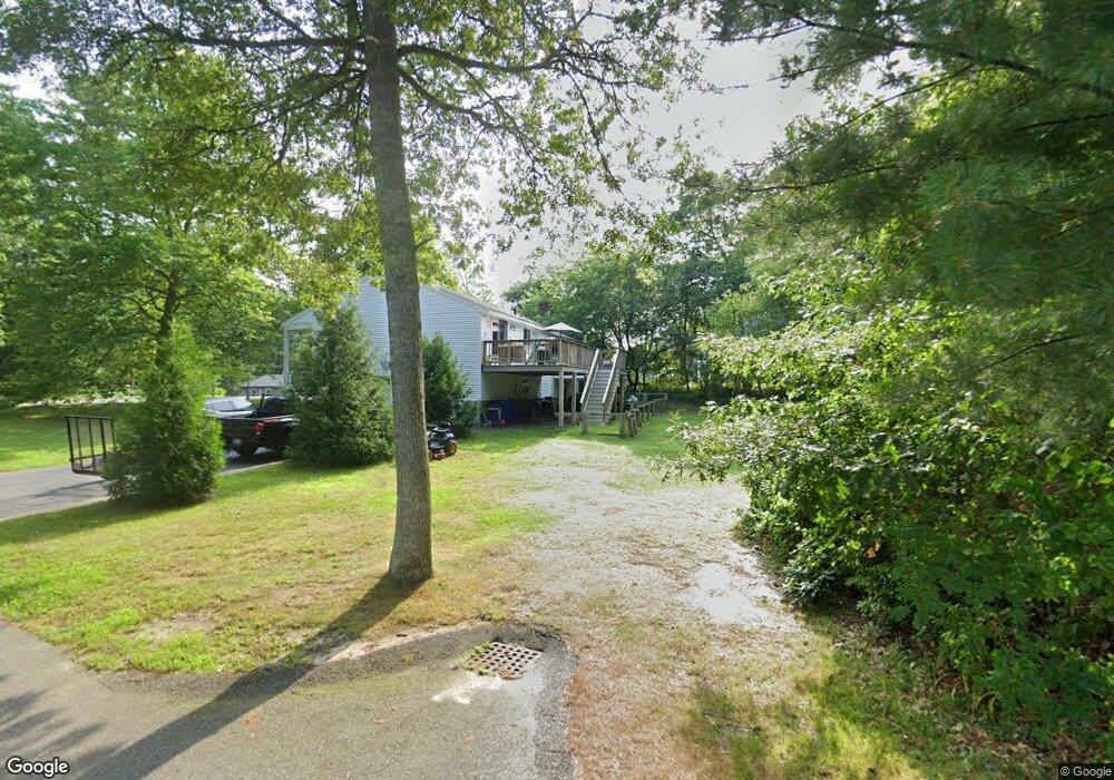
9 Midway Rd Pocasset, MA 02559
Monument Beach NeighborhoodEstimated Value: $449,000 - $641,000
3
Beds
3
Baths
1,720
Sq Ft
$331/Sq Ft
Est. Value
About This Home
This home is located at 9 Midway Rd, Pocasset, MA 02559 and is currently estimated at $569,608, approximately $331 per square foot. 9 Midway Rd is a home located in Barnstable County with nearby schools including Bourne High School, Cadence Academy Preschool - Bourne, and St Margaret Regional School.
Ownership History
Date
Name
Owned For
Owner Type
Purchase Details
Closed on
Jul 30, 2001
Sold by
Handy Rosemarie
Bought by
Mcguire Alayne M
Current Estimated Value
Home Financials for this Owner
Home Financials are based on the most recent Mortgage that was taken out on this home.
Original Mortgage
$137,600
Interest Rate
7.18%
Mortgage Type
Purchase Money Mortgage
Create a Home Valuation Report for This Property
The Home Valuation Report is an in-depth analysis detailing your home's value as well as a comparison with similar homes in the area
Home Values in the Area
Average Home Value in this Area
Purchase History
| Date | Buyer | Sale Price | Title Company |
|---|---|---|---|
| Mcguire Alayne M | $172,000 | -- | |
| Mcguire Alayne M | $172,000 | -- |
Source: Public Records
Mortgage History
| Date | Status | Borrower | Loan Amount |
|---|---|---|---|
| Open | Mcguire Alayne M | $188,000 | |
| Closed | Mcguire Alayne M | $137,600 |
Source: Public Records
Tax History
| Year | Tax Paid | Tax Assessment Tax Assessment Total Assessment is a certain percentage of the fair market value that is determined by local assessors to be the total taxable value of land and additions on the property. | Land | Improvement |
|---|---|---|---|---|
| 2025 | $3,781 | $484,100 | $178,900 | $305,200 |
| 2024 | $3,697 | $461,000 | $170,400 | $290,600 |
| 2023 | $3,594 | $407,900 | $150,800 | $257,100 |
| 2022 | $3,405 | $337,500 | $133,400 | $204,100 |
| 2021 | $3,309 | $307,200 | $121,400 | $185,800 |
| 2020 | $3,293 | $306,600 | $120,300 | $186,300 |
| 2019 | $3,112 | $296,100 | $120,300 | $175,800 |
| 2018 | $2,972 | $282,000 | $114,600 | $167,400 |
| 2017 | $2,818 | $273,600 | $107,800 | $165,800 |
| 2016 | $2,447 | $240,800 | $107,800 | $133,000 |
| 2015 | $2,311 | $229,500 | $96,500 | $133,000 |
Source: Public Records
Map
Nearby Homes
- 566 Shore Rd
- 14 Navajo Rd
- 709 County Rd
- 20 Colony Ave
- 254 Barlows Landing Rd
- 3 1st St
- 203 County Rd
- 5 Harbor Hill Dr
- 4 Harbor Hill Dr
- 3 4th Ave
- 16 Amberwood Ct
- 7 4th Ave
- 16 Michael Rd
- 12 Turnberry Rd Unit 12
- 13 Laurel Hill Ct
- 2 Applewood Ct
- 4 Hollyhock Knoll Ct Unit 4
- 4 Hollyhock Knoll Ct Unit 4
- 5 Sea Knoll Ct
- 35 Benedict Rd
Your Personal Tour Guide
Ask me questions while you tour the home.