9 Millstone Dr Concord, NH 03301
South End NeighborhoodEstimated Value: $556,192 - $697,000
3
Beds
2
Baths
1,944
Sq Ft
$317/Sq Ft
Est. Value
About This Home
This home is located at 9 Millstone Dr, Concord, NH 03301 and is currently estimated at $616,298, approximately $317 per square foot. 9 Millstone Dr is a home located in Merrimack County with nearby schools including Abbot-Downing School, Rundlett Middle School, and Concord High School.
Ownership History
Date
Name
Owned For
Owner Type
Purchase Details
Closed on
May 17, 1989
Bought by
Lantagne Scott D and Lantagne Rita P
Current Estimated Value
Create a Home Valuation Report for This Property
The Home Valuation Report is an in-depth analysis detailing your home's value as well as a comparison with similar homes in the area
Home Values in the Area
Average Home Value in this Area
Purchase History
| Date | Buyer | Sale Price | Title Company |
|---|---|---|---|
| Lantagne Scott D | $150,000 | -- |
Source: Public Records
Mortgage History
| Date | Status | Borrower | Loan Amount |
|---|---|---|---|
| Open | Lantagne Scott D | $74,609 | |
| Closed | Lantagne Scott D | $50,000 |
Source: Public Records
Tax History Compared to Growth
Tax History
| Year | Tax Paid | Tax Assessment Tax Assessment Total Assessment is a certain percentage of the fair market value that is determined by local assessors to be the total taxable value of land and additions on the property. | Land | Improvement |
|---|---|---|---|---|
| 2024 | $9,636 | $348,000 | $152,000 | $196,000 |
| 2023 | $9,347 | $348,000 | $152,000 | $196,000 |
| 2022 | $9,010 | $348,000 | $152,000 | $196,000 |
| 2021 | $8,646 | $344,200 | $152,000 | $192,200 |
| 2020 | $8,114 | $303,200 | $120,200 | $183,000 |
| 2019 | $7,878 | $283,600 | $115,800 | $167,800 |
| 2018 | $7,659 | $271,700 | $102,700 | $169,000 |
| 2017 | $7,478 | $264,800 | $102,700 | $162,100 |
| 2016 | $7,286 | $263,300 | $102,700 | $160,600 |
| 2015 | $6,644 | $243,000 | $85,400 | $157,600 |
| 2014 | $6,515 | $243,000 | $85,400 | $157,600 |
| 2013 | -- | $251,000 | $85,400 | $165,600 |
| 2012 | -- | $245,400 | $81,400 | $164,000 |
Source: Public Records
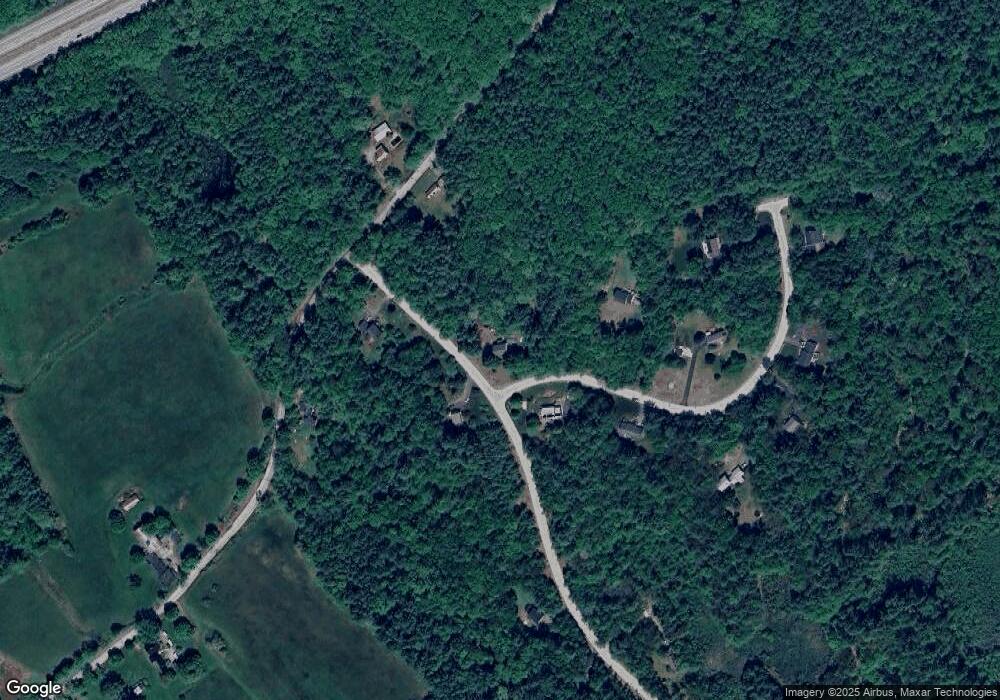
Map
Nearby Homes
- 167 Branch Londonderry Turnpike
- 27 Brushwood Dr
- 7 Currier Rd
- 0 Farrington Corner Rd Unit 14
- I3-03-05 Clinton St
- 0 George Rd Unit 30
- 490 Page Rd
- 256-0-17 Jewett Rd
- 8 Longview Dr
- 250 Grapevine Rd
- 6 Woodland Cir
- 1 Kensington Rd
- 2 Kensington Rd
- 5 Longview Dr
- 22 Wilson Ave
- 15 Wilson Ave
- 0 South St Unit 4969509
- 289 South St
- 122 South St
- 5 Holly Cir
- 2 Spillway Ln
- 10 Millstone Dr
- 19 Millstone Dr
- 4 Millstone Dr
- 5 Spillway Ln
- 16 Millstone Dr
- 8 Spillway Ln
- 35 Stickney Hill Rd
- 53 Stickney Hill Rd
- 15 Spillway Ln
- 23 Spillway Ln
- 34 Stickney Hill Rd
- 22 Millstone Dr
- 12 Spillway Ln
- 20 Spillway Ln
- 26 Spillway Ln
- 27 Millstone Dr
- 84 Stickney Hill Rd
- 32 Millstone Dr
- 62 Stickney Hill Rd