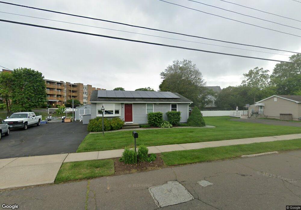
9 Miner Rd West Haven, CT 06516
West Shore NeighborhoodEstimated Value: $349,554 - $364,000
3
Beds
1
Bath
912
Sq Ft
$392/Sq Ft
Est. Value
About This Home
This home is located at 9 Miner Rd, West Haven, CT 06516 and is currently estimated at $357,639, approximately $392 per square foot. 9 Miner Rd is a home located in New Haven County with nearby schools including Carrigan 5/6 Intermediate School, Harry M. Bailey Middle School, and West Haven High School.
Ownership History
Date
Name
Owned For
Owner Type
Purchase Details
Closed on
Feb 24, 2021
Sold by
Scranton Donald A
Bought by
Scranton Donald A and Scranton K M
Current Estimated Value
Purchase Details
Closed on
Aug 12, 2003
Sold by
Adams Robert S Est and Adams
Bought by
Scranton Donald A
Home Financials for this Owner
Home Financials are based on the most recent Mortgage that was taken out on this home.
Original Mortgage
$75,000
Interest Rate
5.28%
Mortgage Type
Purchase Money Mortgage
Create a Home Valuation Report for This Property
The Home Valuation Report is an in-depth analysis detailing your home's value as well as a comparison with similar homes in the area
Home Values in the Area
Average Home Value in this Area
Purchase History
| Date | Buyer | Sale Price | Title Company |
|---|---|---|---|
| Scranton Donald A | -- | None Available | |
| Scranton Donald A | -- | None Available | |
| Scranton Donald A | $150,000 | -- | |
| Scranton Donald A | $150,000 | -- |
Source: Public Records
Mortgage History
| Date | Status | Borrower | Loan Amount |
|---|---|---|---|
| Previous Owner | Scranton Donald A | $20,000 | |
| Previous Owner | Scranton Donald A | $121,702 | |
| Previous Owner | Scranton Donald A | $75,000 |
Source: Public Records
Tax History Compared to Growth
Tax History
| Year | Tax Paid | Tax Assessment Tax Assessment Total Assessment is a certain percentage of the fair market value that is determined by local assessors to be the total taxable value of land and additions on the property. | Land | Improvement |
|---|---|---|---|---|
| 2025 | $6,838 | $208,040 | $77,770 | $130,270 |
| 2024 | $6,016 | $128,380 | $53,900 | $74,480 |
| 2023 | $5,790 | $128,380 | $53,900 | $74,480 |
| 2022 | $5,686 | $128,380 | $53,900 | $74,480 |
| 2021 | $5,686 | $128,380 | $53,900 | $74,480 |
| 2020 | $5,696 | $117,180 | $49,840 | $67,340 |
| 2019 | $5,514 | $117,180 | $49,840 | $67,340 |
| 2018 | $5,436 | $117,180 | $49,840 | $67,340 |
| 2017 | $5,290 | $117,180 | $49,840 | $67,340 |
| 2016 | $5,231 | $117,180 | $49,840 | $67,340 |
| 2015 | $5,042 | $126,420 | $53,270 | $73,150 |
| 2014 | $5,042 | $126,420 | $53,270 | $73,150 |
Source: Public Records
Map
Nearby Homes
- 157 Bull Hill Ln Unit 207
- 67 Putney Dr
- 17 Ellyn Ct
- 84 Eileen Rd
- 105 Pheasant Rd
- 182 Meloy Rd
- 23 Meadowbrook Rd
- 79 Claudia Dr Unit 256
- 79 Claudia Dr Unit 358
- 26 Meadowbrook Rd
- 387 W Spring St
- 62 Tuthill St
- 489 Morgan Ln
- 107 Tuthill St
- 39 Medford St
- 56 Edward St
- 80 Phipps Dr
- 57 Dalton St
- 265 Tuthill St
- 89 Coleman St Unit 213
- 11 Miner Rd
- 7 Miner Rd
- 4 Miner Rd
- 6 Miner Rd
- 13 Miner Rd
- 2 Miner Rd
- 5 Knight Ln
- 155 Bull Hill Ln Unit 315
- 155 Bull Hill Ln Unit 314
- 155 Bull Hill Ln Unit 311
- 155 Bull Hill Ln Unit 310
- 155 Bull Hill Ln Unit 309
- 155 Bull Hill Ln Unit 308
- 155 Bull Hill Ln Unit 307
- 155 Bull Hill Ln Unit 306
- 155 Bull Hill Ln Unit 305
- 155 Bull Hill Ln Unit 304
- 155 Bull Hill Ln Unit 303
- 155 Bull Hill Ln Unit 302
- 155 Bull Hill Ln Unit 301