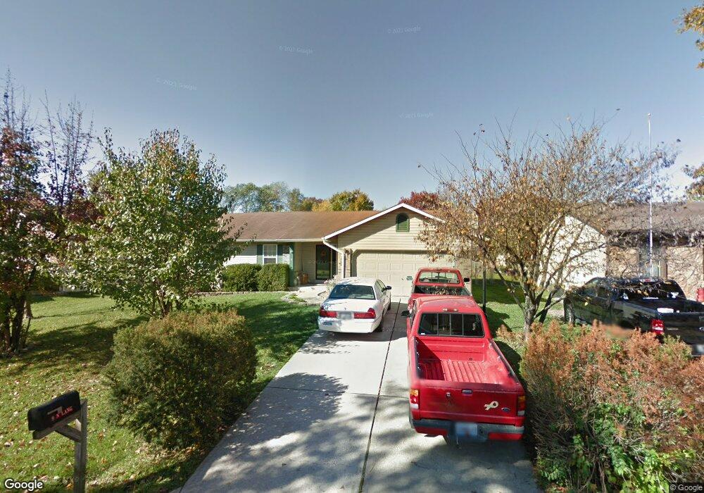
9 N Lang Dr O Fallon, MO 63366
Estimated Value: $270,000 - $285,000
3
Beds
2
Baths
1,228
Sq Ft
$228/Sq Ft
Est. Value
About This Home
This home is located at 9 N Lang Dr, O Fallon, MO 63366 and is currently estimated at $280,285, approximately $228 per square foot. 9 N Lang Dr is a home located in St. Charles County with nearby schools including Green Tree Elementary School, Wentzville South Middle School, and Timberland High School.
Ownership History
Date
Name
Owned For
Owner Type
Purchase Details
Closed on
May 25, 2004
Sold by
Hunter Laura B
Bought by
Long Christopher B and Long Linda E
Current Estimated Value
Home Financials for this Owner
Home Financials are based on the most recent Mortgage that was taken out on this home.
Original Mortgage
$110,800
Outstanding Balance
$52,469
Interest Rate
5.97%
Mortgage Type
Purchase Money Mortgage
Estimated Equity
$227,816
Purchase Details
Closed on
May 30, 2001
Sold by
Strahle Steven M and Strahle Randee L
Bought by
Hunter Laura B
Home Financials for this Owner
Home Financials are based on the most recent Mortgage that was taken out on this home.
Original Mortgage
$112,610
Interest Rate
7.07%
Mortgage Type
FHA
Create a Home Valuation Report for This Property
The Home Valuation Report is an in-depth analysis detailing your home's value as well as a comparison with similar homes in the area
Home Values in the Area
Average Home Value in this Area
Purchase History
| Date | Buyer | Sale Price | Title Company |
|---|---|---|---|
| Long Christopher B | $138,500 | Ust | |
| Hunter Laura B | -- | -- |
Source: Public Records
Mortgage History
| Date | Status | Borrower | Loan Amount |
|---|---|---|---|
| Open | Long Christopher B | $110,800 | |
| Previous Owner | Hunter Laura B | $112,610 |
Source: Public Records
Tax History
| Year | Tax Paid | Tax Assessment Tax Assessment Total Assessment is a certain percentage of the fair market value that is determined by local assessors to be the total taxable value of land and additions on the property. | Land | Improvement |
|---|---|---|---|---|
| 2025 | $2,783 | $47,639 | -- | -- |
| 2023 | $2,782 | $42,242 | $0 | $0 |
| 2022 | $2,439 | $34,414 | $0 | $0 |
| 2021 | $2,437 | $34,414 | $0 | $0 |
| 2020 | $2,206 | $30,348 | $0 | $0 |
| 2019 | $2,048 | $30,348 | $0 | $0 |
| 2018 | $1,931 | $27,240 | $0 | $0 |
| 2017 | $1,922 | $27,240 | $0 | $0 |
| 2016 | $1,810 | $25,470 | $0 | $0 |
| 2015 | $1,778 | $25,470 | $0 | $0 |
| 2014 | $1,581 | $23,196 | $0 | $0 |
Source: Public Records
Map
Nearby Homes
- 1012 Delmar Dr
- 7 King Cir
- 2 Royal Dr
- 263 Tyndale Dr
- 1382 Apple Valley Dr
- 856 Brookmead Dr
- 703 Norwood Terrace
- 1373 Sunburst Dr
- 680 Lakewood Dr
- 655 Lakewood Dr
- 219 Place
- 136 Columbia Meadows Ln
- 1 Grand Columbia @ Columbia Meadows
- 1 Columbia @ Columbia Meadows
- 1 Grand Columbia II @ Columbia Meadows
- 220 Discovery Meadows Place
- 903 Palmer Ct Unit 3
- 617 Lakeview Rd
- 105 Columbia Meadows Ln
- 127 Columbia Meadows Ln
Your Personal Tour Guide
Ask me questions while you tour the home.