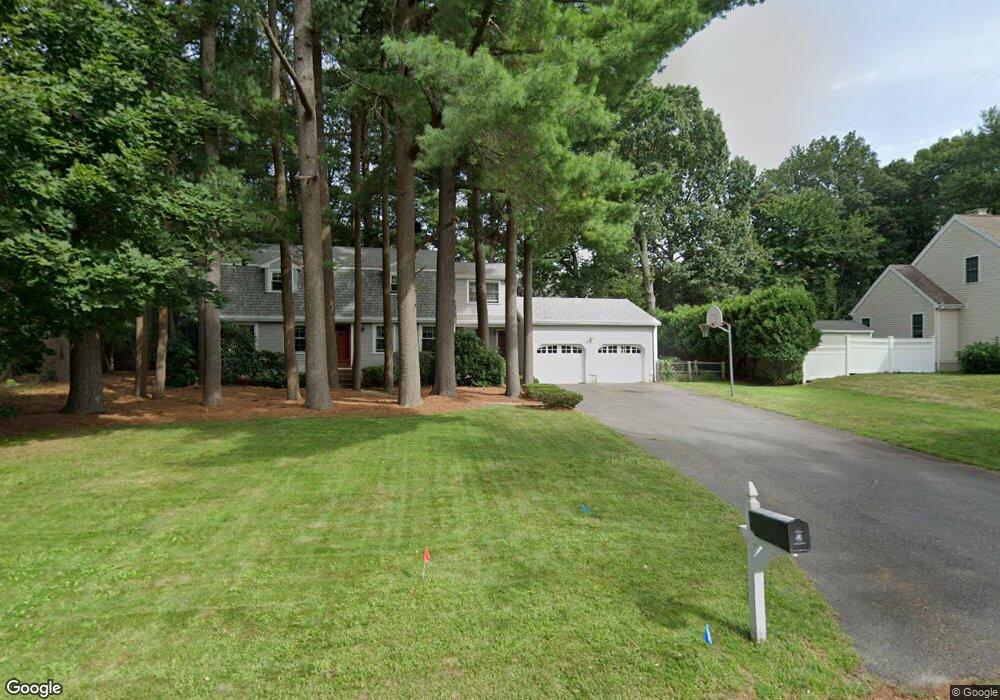
9 Nancy Cir Canton, MA 02021
Estimated Value: $827,000 - $1,073,000
4
Beds
3
Baths
3,200
Sq Ft
$304/Sq Ft
Est. Value
About This Home
This home is located at 9 Nancy Cir, Canton, MA 02021 and is currently estimated at $973,194, approximately $304 per square foot. 9 Nancy Cir is a home located in Norfolk County with nearby schools including Canton High School and St. John the Evangelist School.
Ownership History
Date
Name
Owned For
Owner Type
Purchase Details
Closed on
Apr 11, 2016
Sold by
Kaplan Bruce P and Goldstein Barbara L
Bought by
B & B Rt
Current Estimated Value
Purchase Details
Closed on
Jan 3, 1990
Sold by
Blumenthal Ronald J
Bought by
Kaplan Bruce P
Create a Home Valuation Report for This Property
The Home Valuation Report is an in-depth analysis detailing your home's value as well as a comparison with similar homes in the area
Home Values in the Area
Average Home Value in this Area
Purchase History
| Date | Buyer | Sale Price | Title Company |
|---|---|---|---|
| B & B Rt | -- | -- | |
| Kaplan Bruce P | $279,500 | -- |
Source: Public Records
Mortgage History
| Date | Status | Borrower | Loan Amount |
|---|---|---|---|
| Previous Owner | Kaplan Bruce P | $115,000 | |
| Previous Owner | Kaplan Bruce P | $245,000 | |
| Previous Owner | Kaplan Bruce P | $245,000 | |
| Previous Owner | Kaplan Bruce P | $249,300 |
Source: Public Records
Tax History
| Year | Tax Paid | Tax Assessment Tax Assessment Total Assessment is a certain percentage of the fair market value that is determined by local assessors to be the total taxable value of land and additions on the property. | Land | Improvement |
|---|---|---|---|---|
| 2025 | $8,030 | $811,900 | $327,100 | $484,800 |
| 2024 | $8,071 | $809,500 | $343,100 | $466,400 |
| 2023 | $7,873 | $744,800 | $343,100 | $401,700 |
| 2022 | $7,551 | $665,300 | $326,800 | $338,500 |
| 2021 | $7,102 | $582,100 | $272,300 | $309,800 |
| 2020 | $6,783 | $554,600 | $259,300 | $295,300 |
| 2019 | $6,731 | $542,800 | $235,700 | $307,100 |
| 2018 | $6,486 | $522,200 | $226,700 | $295,500 |
| 2017 | $6,602 | $516,200 | $222,200 | $294,000 |
| 2016 | $6,445 | $503,900 | $216,800 | $287,100 |
| 2015 | $6,242 | $486,900 | $210,500 | $276,400 |
Source: Public Records
Map
Nearby Homes
- 611 Pleasant St
- 859 Pleasant St
- 23 Pine St Unit A
- 23 Pine St Unit K
- 19 Pine St Unit K
- 60 Coppersmith Way Unit 304
- 60 Coppersmith Way Unit 202
- 49 Will Dr Unit 116
- 37 Will Dr Unit 12
- 53 Will Dr Unit 143
- 20 Audubon Way Unit 205
- 20 Audubon Way Unit 401
- 20 Audubon Way Unit 402
- 20 Audubon Way Unit 105
- 20 Audubon Way Unit 108
- 20 Audubon Way Unit 109
- 20 Audubon Way Unit 101
- 20 Audubon Way Unit 303
- 12 Danforth St
- 8 Audubon Way