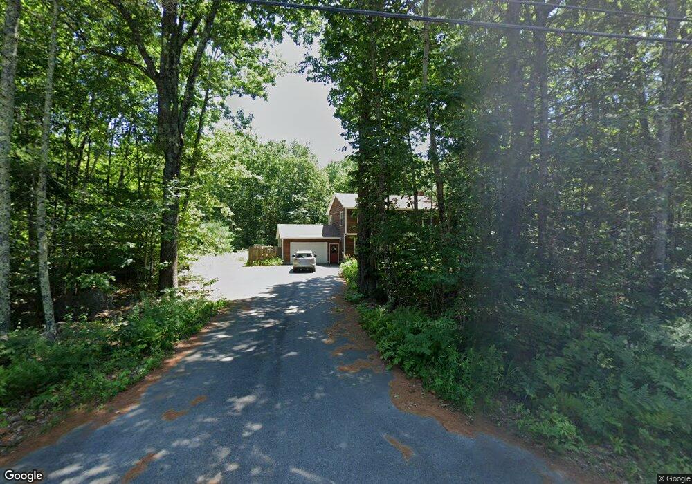
9 No Name Pond Rd Lewiston, ME 04240
Estimated Value: $335,000 - $467,000
4
Beds
2
Baths
1,944
Sq Ft
$215/Sq Ft
Est. Value
About This Home
This home is located at 9 No Name Pond Rd, Lewiston, ME 04240 and is currently estimated at $417,238, approximately $214 per square foot. 9 No Name Pond Rd is a home with nearby schools including Thomas J. McMahon Elementary School, Lewiston Middle School, and Lewiston High School.
Ownership History
Date
Name
Owned For
Owner Type
Purchase Details
Closed on
Jan 13, 2022
Sold by
Beam Christopher and Beam Joline
Bought by
Beam Christopher and Beam Joline
Current Estimated Value
Purchase Details
Closed on
Oct 11, 2018
Sold by
Beam Christopher and Beam Joline
Bought by
Beam Christopher and Beam Joline
Create a Home Valuation Report for This Property
The Home Valuation Report is an in-depth analysis detailing your home's value as well as a comparison with similar homes in the area
Home Values in the Area
Average Home Value in this Area
Purchase History
| Date | Buyer | Sale Price | Title Company |
|---|---|---|---|
| Beam Christopher | -- | None Available | |
| Beam Christopher | -- | -- |
Source: Public Records
Tax History Compared to Growth
Tax History
| Year | Tax Paid | Tax Assessment Tax Assessment Total Assessment is a certain percentage of the fair market value that is determined by local assessors to be the total taxable value of land and additions on the property. | Land | Improvement |
|---|---|---|---|---|
| 2024 | $4,909 | $154,530 | $41,520 | $113,010 |
| 2023 | $4,636 | $154,530 | $41,520 | $113,010 |
| 2022 | $4,404 | $154,530 | $41,520 | $113,010 |
| 2021 | $4,367 | $154,530 | $41,520 | $113,010 |
| 2020 | $4,430 | $154,530 | $41,520 | $113,010 |
| 2019 | $4,467 | $154,530 | $41,520 | $113,010 |
| 2018 | $4,430 | $154,530 | $41,520 | $113,010 |
| 2017 | $885 | $154,530 | $41,520 | $113,010 |
| 2016 | $4,256 | $154,530 | $41,520 | $113,010 |
| 2015 | $4,229 | $154,530 | $41,520 | $113,010 |
| 2014 | $4,109 | $154,530 | $41,520 | $113,010 |
| 2013 | $4,086 | $154,530 | $41,520 | $113,010 |
Source: Public Records
Map
Nearby Homes
- 10 No Name Pond Rd
- 571 Pond
- 16 No Name Pond Rd
- 567 Pond Rd
- 26 Pond Ridge Dr
- 3 No Name Pond
- 36 Pond Ridge Dr
- 34 Pond Ridge Dr
- 603 Old Greene Rd
- 24 Pond Ridge Dr
- 551 Pond Rd
- 27 Pond Ridge Dr
- 22 Pond Ridge Dr
- 23 Pond Ridge Dr
- 650 Old Greene Rd
- 31 No Name Pond Rd
- 20 Pond Ridge Dr
- 35 No Name Pond Rd
- 653 Old Greene Rd
- 21 Pond Ridge Dr