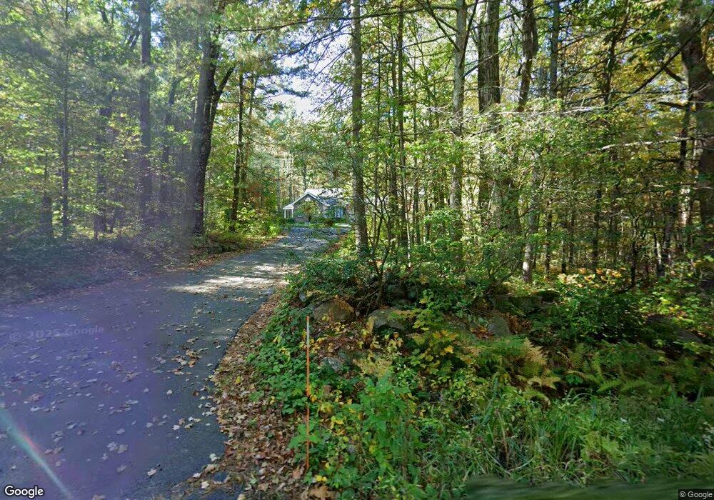
9 Notown Rd Westminster, MA 01473
Estimated Value: $660,259 - $760,000
3
Beds
3
Baths
2,645
Sq Ft
$268/Sq Ft
Est. Value
About This Home
This home is located at 9 Notown Rd, Westminster, MA 01473 and is currently estimated at $707,565, approximately $267 per square foot. 9 Notown Rd is a home located in Worcester County with nearby schools including Oakmont Regional High School.
Ownership History
Date
Name
Owned For
Owner Type
Purchase Details
Closed on
Dec 1, 2025
Sold by
Girard Ret and Girard
Bought by
Girard Irt and Sands
Current Estimated Value
Purchase Details
Closed on
Oct 1, 2025
Sold by
Girard David and Girard Sylvia
Bought by
Girard Ret
Purchase Details
Closed on
Oct 1, 1999
Sold by
Page Charles
Bought by
Girard David and Girard Sylvia
Create a Home Valuation Report for This Property
The Home Valuation Report is an in-depth analysis detailing your home's value as well as a comparison with similar homes in the area
Home Values in the Area
Average Home Value in this Area
Purchase History
We collect this data history from publicly available records. To have your information removed, we recommend requesting removal directly through your county’s website.
| Date | Buyer | Sale Price | Title Company |
|---|---|---|---|
| Girard Irt | -- | -- | |
| Girard Ret | -- | -- | |
| Girard David | $79,000 | -- |
Source: Public Records
Tax History
| Year | Tax Paid | Tax Assessment Tax Assessment Total Assessment is a certain percentage of the fair market value that is determined by local assessors to be the total taxable value of land and additions on the property. | Land | Improvement |
|---|---|---|---|---|
| 2025 | $7,368 | $599,000 | $140,600 | $458,400 |
| 2024 | $7,083 | $577,700 | $140,600 | $437,100 |
| 2023 | $6,850 | $524,500 | $125,300 | $399,200 |
| 2022 | $6,840 | $432,900 | $108,900 | $324,000 |
| 2021 | $993 | $406,700 | $95,000 | $311,700 |
| 2020 | $5,457 | $373,000 | $86,100 | $286,900 |
| 2019 | $5,236 | $358,300 | $71,400 | $286,900 |
| 2018 | $947 | $376,600 | $85,000 | $291,600 |
| 2017 | $4,500 | $376,600 | $85,000 | $291,600 |
| 2016 | $6,804 | $362,300 | $70,700 | $291,600 |
| 2015 | $6,559 | $346,100 | $70,700 | $275,400 |
| 2014 | $6,569 | $346,100 | $70,700 | $275,400 |
Source: Public Records
Map
Nearby Homes
- Lot 0 Narrows Rd
- 98 East Rd
- 76 Saw Mill Pond Rd
- 51 Sawmill Pond Rd Unit 51
- 115 East Rd
- 1 Newcomb Rd
- 2 Roberts Way
- 26-28 Eureka St
- 33 Green Briar Rd
- 16 Acorn Ave
- 17 Leominster St
- 2 Seaver St
- 147 Constitution Dr Unit 147
- 58-60 Ward St
- 34 Mountain Laurel Ln
- 42 Bacon St
- 18 Laurel Ln
- 0 Syd Smith Rd Unit 73395578
- 0 Syd Smith Rd (Rear)
- 0 Syd Smith Rd Map 71 Lot 4-2
- 12 Notown Rd
- 15 Hanks Hill Rd
- 4 Notown Rd
- 16 Hanks Hill Rd
- 171 Narrows Rd
- 177 Narrows Rd
- 175 Narrows Rd
- 14 Notown Rd
- 14 Hanks Hill Rd
- 11 Hanks Hill Rd
- 4 Hanks Hill Rd
- 16 Notown Rd
- 5 Hanks Hill Rd
- 157 Narrows Rd
- 155 Narrows Rd
- 20 Stone Hill Rd
- 182 Narrows Rd
- 9 Hanks Hill Rd
- 185 Narrows Rd
- 18 Notown Rd
Your Personal Tour Guide
Ask me questions while you tour the home.