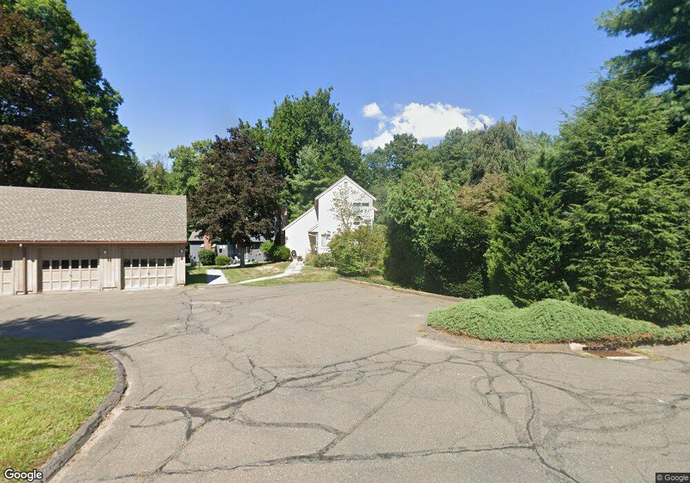
9 Nutmeg Ct Simsbury, CT 06070
Estimated Value: $318,637 - $359,000
3
Beds
2
Baths
1,293
Sq Ft
$266/Sq Ft
Est. Value
About This Home
This home is located at 9 Nutmeg Ct, Simsbury, CT 06070 and is currently estimated at $343,909, approximately $265 per square foot. 9 Nutmeg Ct is a home located in Hartford County with nearby schools including Central School, Henry James Memorial School, and Simsbury High School.
Ownership History
Date
Name
Owned For
Owner Type
Purchase Details
Closed on
Aug 1, 2013
Sold by
Nietupski Caleb N
Bought by
Monaco Carmen J
Current Estimated Value
Home Financials for this Owner
Home Financials are based on the most recent Mortgage that was taken out on this home.
Original Mortgage
$158,800
Outstanding Balance
$115,989
Interest Rate
3.95%
Estimated Equity
$227,920
Purchase Details
Closed on
May 24, 2011
Sold by
Theresa A Obrien Irt and Obrien Stephen M
Bought by
Nietupski Caleb N
Purchase Details
Closed on
Oct 26, 2009
Sold by
Obrien Theresa
Bought by
Obrien Donald W and Obrien Richard J
Purchase Details
Closed on
Oct 29, 1996
Sold by
Lettie Louise
Bought by
Obrien Theresa
Purchase Details
Closed on
May 3, 1993
Sold by
Stenlund Julie
Bought by
Lettre Louise
Purchase Details
Closed on
Apr 10, 1989
Sold by
Marroni Mark
Bought by
Stenlund Julie
Create a Home Valuation Report for This Property
The Home Valuation Report is an in-depth analysis detailing your home's value as well as a comparison with similar homes in the area
Home Values in the Area
Average Home Value in this Area
Purchase History
| Date | Buyer | Sale Price | Title Company |
|---|---|---|---|
| Monaco Carmen J | $198,500 | -- | |
| Nietupski Caleb N | -- | -- | |
| Obrien Donald W | -- | -- | |
| Obrien Theresa | $113,500 | -- | |
| Lettre Louise | $120,000 | -- | |
| Stenlund Julie | $162,500 | -- |
Source: Public Records
Mortgage History
| Date | Status | Borrower | Loan Amount |
|---|---|---|---|
| Open | Stenlund Julie | $158,800 | |
| Previous Owner | Stenlund Julie | $43,000 | |
| Previous Owner | Stenlund Julie | $74,000 |
Source: Public Records
Tax History
| Year | Tax Paid | Tax Assessment Tax Assessment Total Assessment is a certain percentage of the fair market value that is determined by local assessors to be the total taxable value of land and additions on the property. | Land | Improvement |
|---|---|---|---|---|
| 2025 | $5,521 | $161,630 | $0 | $161,630 |
| 2024 | $5,384 | $161,630 | $0 | $161,630 |
| 2023 | $5,143 | $161,630 | $0 | $161,630 |
| 2022 | $4,775 | $123,620 | $0 | $123,620 |
| 2021 | $4,775 | $123,620 | $0 | $123,620 |
| 2020 | $4,585 | $123,620 | $0 | $123,620 |
| 2019 | $4,613 | $123,620 | $0 | $123,620 |
| 2018 | $4,647 | $123,620 | $0 | $123,620 |
| 2017 | $4,828 | $124,560 | $0 | $124,560 |
| 2016 | $4,624 | $124,560 | $0 | $124,560 |
| 2015 | $4,624 | $124,560 | $0 | $124,560 |
| 2014 | $4,626 | $124,560 | $0 | $124,560 |
Source: Public Records
Map
Nearby Homes
- 2 Gillette Ct Unit D
- 15 Sand Hill Rd
- 30 Southbridge Ct Unit 30
- 1 West St Unit 112
- 3 Cobtail Way
- 40 Firetown Rd Unit 22
- 42 Library Ln Unit 42
- 6 Heritage Ln
- 29 Long View Dr
- 5 Shady Ln
- 126 Hopmeadow St Unit 3H
- 301 Bushy Hill Rd
- 90 Seminary Rd
- 545 Simsbury Rd
- 9 Barry Ln
- 63 Duncaster Rd
- 31 Oxford Ct
- 7 Shaw Dr
- 24 Hunting Ridge Dr
- 60 Barry Ln
Your Personal Tour Guide
Ask me questions while you tour the home.