9 Obd Rd Lyman, ME 04002
Lyman NeighborhoodEstimated Value: $414,000 - $440,000
3
Beds
2
Baths
840
Sq Ft
$509/Sq Ft
Est. Value
About This Home
This home is located at 9 Obd Rd, Lyman, ME 04002 and is currently estimated at $427,465, approximately $508 per square foot. 9 Obd Rd is a home with nearby schools including Massabesic High School.
Ownership History
Date
Name
Owned For
Owner Type
Purchase Details
Closed on
Aug 1, 2016
Sold by
Eon 2Nd Robert L
Bought by
Eon Joseph R
Current Estimated Value
Purchase Details
Closed on
Dec 2, 2010
Sold by
Adams Steven and Johnson Gerald
Bought by
Eon 2Nd Robert L
Home Financials for this Owner
Home Financials are based on the most recent Mortgage that was taken out on this home.
Original Mortgage
$147,000
Outstanding Balance
$97,268
Interest Rate
4.25%
Mortgage Type
Commercial
Estimated Equity
$330,197
Create a Home Valuation Report for This Property
The Home Valuation Report is an in-depth analysis detailing your home's value as well as a comparison with similar homes in the area
Home Values in the Area
Average Home Value in this Area
Purchase History
| Date | Buyer | Sale Price | Title Company |
|---|---|---|---|
| Eon Joseph R | -- | -- | |
| Eon 2Nd Robert L | -- | -- |
Source: Public Records
Mortgage History
| Date | Status | Borrower | Loan Amount |
|---|---|---|---|
| Open | Eon 2Nd Robert L | $147,000 | |
| Previous Owner | Eon 2Nd Robert L | $122,000 | |
| Previous Owner | Eon 2Nd Robert L | $124,500 |
Source: Public Records
Tax History Compared to Growth
Tax History
| Year | Tax Paid | Tax Assessment Tax Assessment Total Assessment is a certain percentage of the fair market value that is determined by local assessors to be the total taxable value of land and additions on the property. | Land | Improvement |
|---|---|---|---|---|
| 2024 | $3,670 | $291,000 | $97,000 | $194,000 |
| 2023 | $3,547 | $291,000 | $97,000 | $194,000 |
| 2022 | $3,405 | $291,000 | $97,000 | $194,000 |
| 2021 | $3,341 | $291,000 | $97,000 | $194,000 |
| 2020 | $3,193 | $297,000 | $94,000 | $203,000 |
| 2019 | $3,110 | $297,000 | $94,000 | $203,000 |
| 2018 | $3,146 | $260,000 | $82,000 | $178,000 |
| 2017 | $2,978 | $238,400 | $75,100 | $163,300 |
| 2015 | $2,956 | $238,400 | $75,100 | $163,300 |
| 2014 | $2,897 | $238,400 | $75,100 | $163,300 |
Source: Public Records
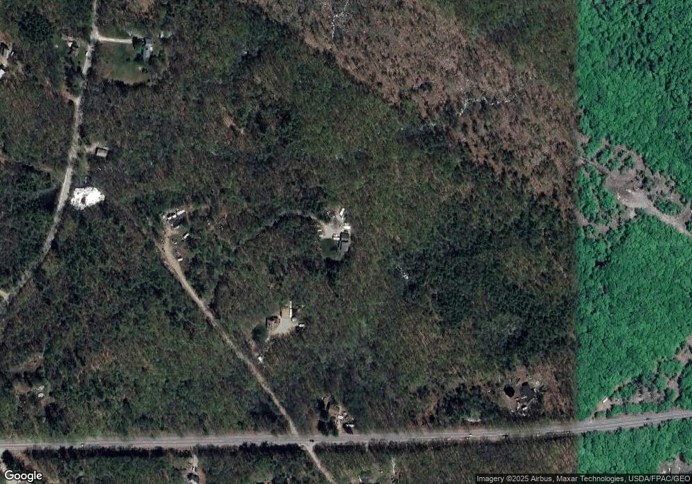
Map
Nearby Homes
- 149 Duke Ln
- 19 Day Rd
- Lot 1 Kennebunk Rd
- 40 Oakwood St
- 87 Drown Rd
- 65 Old County Rd
- 32 Conifer Dr
- 665 S Waterboro Rd
- 22 White House Cove Rd
- 16 Marcotte Ln
- Lot# 0 Alewive Rd
- 34 Cascade Cir Unit 30
- 23 Branch View Terrace N
- TBD Branch View Terrace Unit Lot 5
- TBD Branch View Terrace Unit Lot 4
- 74 Lisa Dr
- 232 Waterboro Rd
- 58 Sanford Rd
- 61 M Ln
- Lot B Bernier Rd