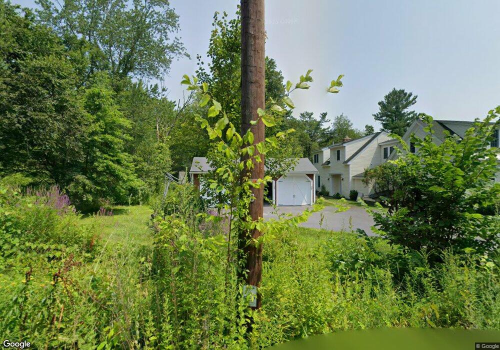
9 Old Schoolhouse Rd Harvard, MA 01451
Estimated Value: $881,000 - $1,172,000
3
Beds
3
Baths
3,767
Sq Ft
$271/Sq Ft
Est. Value
About This Home
This home is located at 9 Old Schoolhouse Rd, Harvard, MA 01451 and is currently estimated at $1,020,256, approximately $270 per square foot. 9 Old Schoolhouse Rd is a home located in Worcester County with nearby schools including Hildreth Elementary School and The Bromfield School.
Ownership History
Date
Name
Owned For
Owner Type
Purchase Details
Closed on
Nov 20, 2006
Sold by
Mcguire Susan Bryce and Mcguire Thomas C
Bought by
Dangel Colin K and Gordon Pamela J
Current Estimated Value
Home Financials for this Owner
Home Financials are based on the most recent Mortgage that was taken out on this home.
Original Mortgage
$280,000
Interest Rate
6.33%
Mortgage Type
Purchase Money Mortgage
Purchase Details
Closed on
May 19, 2000
Sold by
Petrie James A Est
Bought by
Mcguire Thomas C and Bryce-Mcguire Susan
Create a Home Valuation Report for This Property
The Home Valuation Report is an in-depth analysis detailing your home's value as well as a comparison with similar homes in the area
Home Values in the Area
Average Home Value in this Area
Purchase History
| Date | Buyer | Sale Price | Title Company |
|---|---|---|---|
| Dangel Colin K | $619,500 | -- | |
| Mcguire Thomas C | $330,000 | -- |
Source: Public Records
Mortgage History
| Date | Status | Borrower | Loan Amount |
|---|---|---|---|
| Open | Mcguire Thomas C | $264,000 | |
| Closed | Mcguire Thomas C | $266,500 | |
| Closed | Dangel Colin K | $280,000 | |
| Previous Owner | Mcguire Thomas C | $298,200 |
Source: Public Records
Tax History
| Year | Tax Paid | Tax Assessment Tax Assessment Total Assessment is a certain percentage of the fair market value that is determined by local assessors to be the total taxable value of land and additions on the property. | Land | Improvement |
|---|---|---|---|---|
| 2025 | $14,600 | $932,900 | $279,500 | $653,400 |
| 2024 | $13,550 | $909,400 | $279,500 | $629,900 |
| 2023 | $12,806 | $771,000 | $259,600 | $511,400 |
| 2022 | $12,827 | $716,200 | $249,000 | $467,200 |
| 2021 | $11,875 | $632,300 | $249,000 | $383,300 |
| 2020 | $10,653 | $576,800 | $249,000 | $327,800 |
| 2019 | $288 | $592,500 | $249,000 | $343,500 |
| 2018 | $11,091 | $617,100 | $249,000 | $368,100 |
| 2017 | $9,361 | $517,200 | $209,000 | $308,200 |
| 2016 | $9,310 | $515,800 | $209,000 | $306,800 |
Source: Public Records
Map
Nearby Homes
- 15 Spencer Rd Unit 12E
- 220 Swanson Rd Unit 605
- 220 Swanson Rd Unit 606
- 220 Swanson Rd Unit 604
- 226 Swanson Rd Unit 617
- 176 Swanson Rd Unit 304
- 53 Swanson Ct Unit 24C
- 78 Shaker Rd
- 18A S Shaker Rd
- 36 Leonard Rd
- 14 Leonard Rd
- 310 Codman Hill Rd Unit 35D
- 0 Ayer & Old Mill Rd
- 17 Chestnut Ln
- 9 Blanchard Rd
- Lot 2 Strawberry Farm
- 107 Old Mill Rd
- 20 Lyons Ln Unit 20
- 3 Taylor St
- 55 Littleton Rd Unit 8B
- 6 Old Schoolhouse Rd
- 10 Old Schoolhouse Rd
- 16 Old Schoolhouse Rd
- Lot 1 Old Littleton Rd
- 0 Old Schoolhouse Rd
- 193 Old Littleton Rd
- 184 Old Littleton Rd
- 205 Old Littleton Rd
- 210 Old Littleton Rd
- 165 Littleton County Rd
- 214 Old Littleton Rd
- 216 Old Littleton Rd Unit b
- 146 Littleton County Rd
- 211 Old Littleton Rd
- 220 Old Littleton Rd
- 170 Old Littleton Rd
- 224 Old Littleton Rd
- 181 Old Littleton Rd
- 115 Littleton County Rd
- 26 Park Ln
Your Personal Tour Guide
Ask me questions while you tour the home.