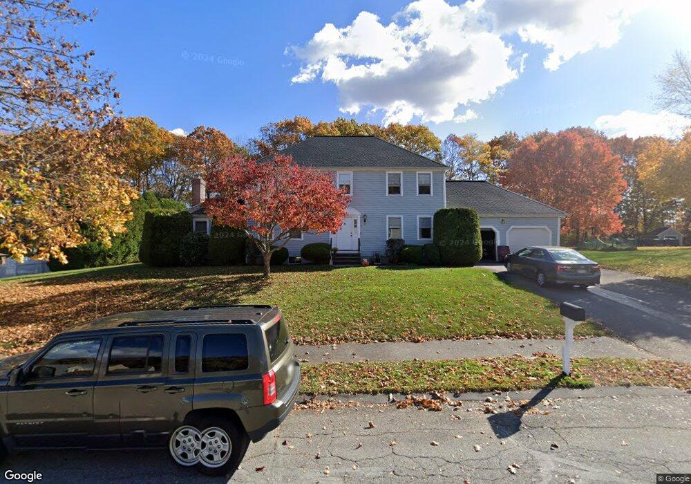
9 Paige Farm Rd Amesbury, MA 01913
Estimated Value: $808,000 - $1,014,000
4
Beds
3
Baths
2,388
Sq Ft
$378/Sq Ft
Est. Value
About This Home
This home is located at 9 Paige Farm Rd, Amesbury, MA 01913 and is currently estimated at $902,696, approximately $378 per square foot. 9 Paige Farm Rd is a home located in Essex County with nearby schools including Amesbury High School and Amesbury Seventh-Day Adventist School.
Ownership History
Date
Name
Owned For
Owner Type
Purchase Details
Closed on
Nov 3, 1992
Sold by
Southampton Woods Dev
Bought by
Chines Francis P and Chines Patricia
Current Estimated Value
Home Financials for this Owner
Home Financials are based on the most recent Mortgage that was taken out on this home.
Original Mortgage
$65,000
Interest Rate
7.85%
Mortgage Type
Purchase Money Mortgage
Create a Home Valuation Report for This Property
The Home Valuation Report is an in-depth analysis detailing your home's value as well as a comparison with similar homes in the area
Home Values in the Area
Average Home Value in this Area
Purchase History
| Date | Buyer | Sale Price | Title Company |
|---|---|---|---|
| Chines Francis P | $185,000 | -- |
Source: Public Records
Mortgage History
| Date | Status | Borrower | Loan Amount |
|---|---|---|---|
| Closed | Chines Francis P | $65,000 |
Source: Public Records
Tax History Compared to Growth
Tax History
| Year | Tax Paid | Tax Assessment Tax Assessment Total Assessment is a certain percentage of the fair market value that is determined by local assessors to be the total taxable value of land and additions on the property. | Land | Improvement |
|---|---|---|---|---|
| 2025 | $11,686 | $763,800 | $306,300 | $457,500 |
| 2024 | $11,151 | $713,000 | $289,000 | $424,000 |
| 2023 | $10,198 | $624,100 | $251,400 | $372,700 |
| 2022 | $9,975 | $563,900 | $218,700 | $345,200 |
| 2021 | $9,413 | $515,800 | $176,300 | $339,500 |
| 2020 | $8,463 | $492,600 | $169,500 | $323,100 |
| 2019 | $8,603 | $468,300 | $169,500 | $298,800 |
| 2018 | $8,470 | $446,000 | $161,400 | $284,600 |
| 2017 | $8,696 | $435,900 | $161,400 | $274,500 |
| 2016 | $8,481 | $418,200 | $161,400 | $256,800 |
Source: Public Records
Map
Nearby Homes
- 25 Whittier Meadows Dr
- 2 Locke Hill Ln
- 21 Woodman Rd
- 1 Brown Ave Unit 3-80
- 3 Brown Ave Unit 75
- 3 Glenwood St
- 57 Clinton St
- 1 Stacey Ln
- 16 Glen Devin St
- 3 Glen Devin St
- 48 Orchard St
- 28 Powderhouse Ct Unit 28
- 105 Market St Unit B
- 103 Market St Unit A
- 103 Market St Unit B
- 101 Market St Unit B
- 101 Market St Unit A
- 4 Woodsom Dr
- 25 Cedar St Unit 4
- 25 Cedar St Unit 7
- 11 Paige Farm Rd
- 7 Paige Farm Rd
- 46 Whittier Meadows Dr Unit 25B
- 46 Whittier Meadows Dr
- 46 Whittier Meadows Dr Unit 46
- 8 Paige Farm Rd
- 43 Whittier Meadows Dr
- 10 Paige Farm Rd
- 13 Paige Farm Rd
- 5 Paige Farm Rd
- 31 Whittier Meadows Dr
- 6 Paige Farm Rd
- 61 Whittier Meadows Dr
- 62 Whittier Meadows Dr
- 63 Whittier Meadows Dr
- 64 Whittier Meadows Dr
- 65 Whittier Meadows Dr
- 66 Whittier Meadows Dr
- 68 Whittier Meadows Dr
- 66 Whittier Meadows Dr Unit 66