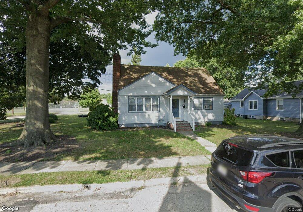
9 Payson Ave Audubon, NJ 08106
Estimated Value: $260,910 - $397,000
Studio
--
Bath
1,455
Sq Ft
$243/Sq Ft
Est. Value
About This Home
This home is located at 9 Payson Ave, Audubon, NJ 08106 and is currently estimated at $354,228, approximately $243 per square foot. 9 Payson Ave is a home located in Camden County with nearby schools including Haviland Avenue School, Mansion Avenue School, and Audubon Junior/Senior High School.
Ownership History
Date
Name
Owned For
Owner Type
Purchase Details
Closed on
Jan 24, 2020
Sold by
Battersby Robin Lynn and Mcdonald Wright Anna
Bought by
Battersby Robin Lynn
Current Estimated Value
Purchase Details
Closed on
Jan 29, 1999
Sold by
Spencer Randall B
Bought by
Mcdonald Robin and Mcdonald Anna V
Home Financials for this Owner
Home Financials are based on the most recent Mortgage that was taken out on this home.
Original Mortgage
$60,000
Outstanding Balance
$14,250
Interest Rate
6.78%
Mortgage Type
Purchase Money Mortgage
Estimated Equity
$339,978
Purchase Details
Closed on
Oct 15, 1997
Sold by
Fetzko Dorthea R
Bought by
Spencer Randall B
Home Financials for this Owner
Home Financials are based on the most recent Mortgage that was taken out on this home.
Original Mortgage
$91,000
Interest Rate
7.48%
Mortgage Type
Purchase Money Mortgage
Create a Home Valuation Report for This Property
The Home Valuation Report is an in-depth analysis detailing your home's value as well as a comparison with similar homes in the area
Home Values in the Area
Average Home Value in this Area
Purchase History
| Date | Buyer | Sale Price | Title Company |
|---|---|---|---|
| Battersby Robin Lynn | -- | None Available | |
| Mcdonald Robin | $99,500 | -- | |
| Spencer Randall B | $100,900 | -- |
Source: Public Records
Mortgage History
| Date | Status | Borrower | Loan Amount |
|---|---|---|---|
| Open | Mcdonald Robin | $60,000 | |
| Previous Owner | Spencer Randall B | $91,000 |
Source: Public Records
Tax History
| Year | Tax Paid | Tax Assessment Tax Assessment Total Assessment is a certain percentage of the fair market value that is determined by local assessors to be the total taxable value of land and additions on the property. | Land | Improvement |
|---|---|---|---|---|
| 2025 | $6,257 | $155,000 | $90,000 | $65,000 |
| 2024 | $6,050 | $155,000 | $90,000 | $65,000 |
| 2023 | $6,050 | $155,000 | $90,000 | $65,000 |
| 2022 | $5,888 | $155,000 | $90,000 | $65,000 |
| 2021 | $4,251 | $155,000 | $90,000 | $65,000 |
| 2020 | $5,589 | $155,000 | $90,000 | $65,000 |
| 2019 | $5,515 | $155,000 | $90,000 | $65,000 |
| 2018 | $5,447 | $155,000 | $90,000 | $65,000 |
| 2017 | $5,334 | $155,000 | $90,000 | $65,000 |
| 2016 | $8,424 | $251,400 | $122,700 | $128,700 |
| 2015 | $8,150 | $251,400 | $122,700 | $128,700 |
| 2014 | $8,072 | $251,400 | $122,700 | $128,700 |
Source: Public Records
Map
Nearby Homes
- 29 Payson Ave
- 63 Central Ave
- 120 Cedarcroft Ave
- 2 Creston Ave
- 902 Maple Ave
- 318 Walnut Ave
- 553 Maple Ave
- 112 W Merchant St
- 11 W Cedar Ave
- 167 Kendall Blvd
- 232 Edgewood Ave
- 127 Manor Ave
- 231 Virginia Ave
- 211 Landis Ave
- 200 E Lake Dr
- 28 W Greenwood Ave
- 7 Lincoln Ave
- 312 W Pine St
- 432 W Pine St
- 16 W Greenwood Ave
- 11 Payson Ave
- 17 Payson Ave
- 400 W Nicholson Rd
- 21 Payson Ave
- 10 Payson Ave
- 8 Payson Ave
- 14 Payson Ave
- 18 Payson Ave
- 6 Cedarcroft Ave
- 25 Payson Ave
- 22 Payson Ave
- 431 W Nicholson Rd
- 10 Cedarcroft Ave
- 26 Payson Ave
- 14 Cedarcroft Ave
- 33 Payson Ave
- 30 Payson Ave
- 13 Ward Ave
- 17 Ward Ave
- 356 W Nicholson Rd
Your Personal Tour Guide
Ask me questions while you tour the home.