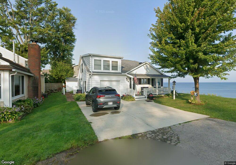
9 Penn Dr Conneaut, OH 44030
Estimated Value: $167,807 - $195,000
2
Beds
1
Bath
792
Sq Ft
$231/Sq Ft
Est. Value
About This Home
This home is located at 9 Penn Dr, Conneaut, OH 44030 and is currently estimated at $182,952, approximately $231 per square foot. 9 Penn Dr is a home located in Ashtabula County with nearby schools including Lakeshore Primary Elementary School, Gateway Elementary School, and Conneaut Middle School.
Ownership History
Date
Name
Owned For
Owner Type
Purchase Details
Closed on
Mar 1, 2010
Sold by
Nelson Donald E and Nelson Patricia J
Bought by
The Revocable Living Trust Of Donald E &
Current Estimated Value
Create a Home Valuation Report for This Property
The Home Valuation Report is an in-depth analysis detailing your home's value as well as a comparison with similar homes in the area
Home Values in the Area
Average Home Value in this Area
Purchase History
| Date | Buyer | Sale Price | Title Company |
|---|---|---|---|
| The Revocable Living Trust Of Donald E & | -- | None Available |
Source: Public Records
Tax History Compared to Growth
Tax History
| Year | Tax Paid | Tax Assessment Tax Assessment Total Assessment is a certain percentage of the fair market value that is determined by local assessors to be the total taxable value of land and additions on the property. | Land | Improvement |
|---|---|---|---|---|
| 2024 | $3,669 | $50,160 | $16,730 | $33,430 |
| 2023 | $2,327 | $50,160 | $16,730 | $33,430 |
| 2022 | $1,984 | $37,630 | $12,880 | $24,750 |
| 2021 | $2,018 | $37,630 | $12,880 | $24,750 |
| 2020 | $2,017 | $37,630 | $12,880 | $24,750 |
| 2019 | $2,527 | $46,350 | $22,090 | $24,260 |
| 2018 | $2,409 | $46,350 | $22,090 | $24,260 |
| 2017 | $2,132 | $46,350 | $22,090 | $24,260 |
| 2016 | $1,840 | $38,580 | $18,380 | $20,200 |
| 2015 | $1,859 | $38,580 | $18,380 | $20,200 |
| 2014 | $1,637 | $38,580 | $18,380 | $20,200 |
| 2013 | $2,805 | $34,240 | $14,250 | $19,990 |
Source: Public Records
Map
Nearby Homes
- 716 Chestnut St
- 1036 Golfview Dr
- 0 Chestnut St Unit 5120761
- 859 Sandusky St
- 474 Sherman St
- 644 Mill St
- 973 Buffalo St
- 770 Buffalo St
- 405 Bliss Ave
- 533 Mill St
- 536 Mill St
- 429 Depot St
- 459 Mill St
- 169 River St
- 1025 Harbor St Unit 35
- 536 Madison St
- 408 Broad State Rd 7 St
- 427 Harbor St
- 413 Harbor St
- 1145 Lake Rd