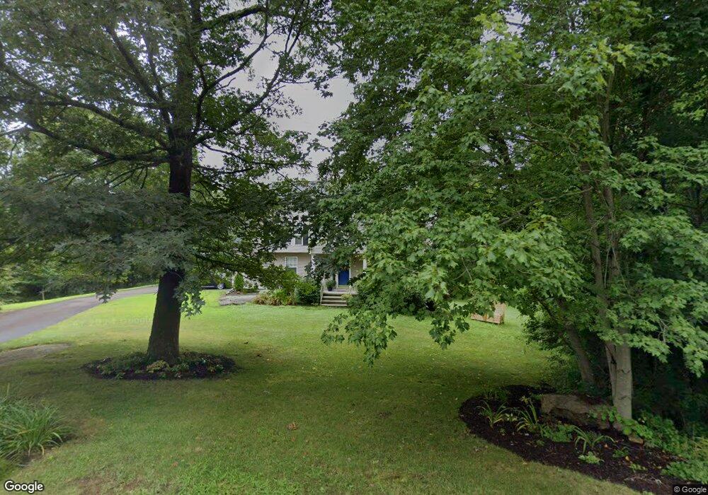
9 Pheasant Run Guilford, CT 06437
Estimated Value: $619,707 - $681,000
3
Beds
3
Baths
2,032
Sq Ft
$320/Sq Ft
Est. Value
About This Home
This home is located at 9 Pheasant Run, Guilford, CT 06437 and is currently estimated at $649,677, approximately $319 per square foot. 9 Pheasant Run is a home located in New Haven County with nearby schools including E.C. Adams Middle School, A. Baldwin Middle School, and Guilford High School.
Ownership History
Date
Name
Owned For
Owner Type
Purchase Details
Closed on
Jul 3, 2006
Sold by
Horan Kelly L
Bought by
Kroneguld Jack and Anderson Jacquelyn
Current Estimated Value
Home Financials for this Owner
Home Financials are based on the most recent Mortgage that was taken out on this home.
Original Mortgage
$312,000
Outstanding Balance
$183,533
Interest Rate
6.58%
Estimated Equity
$466,144
Create a Home Valuation Report for This Property
The Home Valuation Report is an in-depth analysis detailing your home's value as well as a comparison with similar homes in the area
Home Values in the Area
Average Home Value in this Area
Purchase History
| Date | Buyer | Sale Price | Title Company |
|---|---|---|---|
| Kroneguld Jack | $390,000 | -- |
Source: Public Records
Mortgage History
| Date | Status | Borrower | Loan Amount |
|---|---|---|---|
| Open | Kroneguld Jack | $312,000 | |
| Previous Owner | Kroneguld Jack | $160,000 |
Source: Public Records
Tax History Compared to Growth
Tax History
| Year | Tax Paid | Tax Assessment Tax Assessment Total Assessment is a certain percentage of the fair market value that is determined by local assessors to be the total taxable value of land and additions on the property. | Land | Improvement |
|---|---|---|---|---|
| 2025 | $8,754 | $316,610 | $156,240 | $160,370 |
| 2024 | $8,415 | $316,610 | $156,240 | $160,370 |
| 2023 | $8,194 | $316,610 | $156,240 | $160,370 |
| 2022 | $7,908 | $237,820 | $140,980 | $96,840 |
| 2021 | $7,758 | $237,820 | $140,980 | $96,840 |
| 2020 | $7,684 | $237,820 | $140,980 | $96,840 |
| 2019 | $7,617 | $237,820 | $140,980 | $96,840 |
| 2018 | $7,439 | $237,820 | $140,980 | $96,840 |
| 2017 | $7,700 | $262,270 | $149,630 | $112,640 |
| 2016 | $7,519 | $262,270 | $149,630 | $112,640 |
| 2015 | $7,407 | $262,270 | $149,630 | $112,640 |
| 2014 | $7,191 | $262,270 | $149,630 | $112,640 |
Source: Public Records
Map
Nearby Homes
- 1028 Moose Hill Rd
- 59 Hoadley Creek Cir
- 40 Kenneth Cir
- LOT #22 Kenneth Cir Unit MAP 77
- 522 Peddlers Rd
- 181 Denison Dr
- LOT 28B Bruce Ln Unit MAP 83
- 2805 Boston Post Rd
- 360 Jefferson Dr
- 42 Copper Hill Dr
- 288 Jefferson Dr
- 20 Copper Hill Dr Unit 20
- 37 Long Hill Farm
- 3 Ashman Ct
- 15 Briarwood Dr
- 1066 Long Hill Rd
- 55-69 Sawmill Rd
- 72 Notch Hill Rd
- 312 Leetes Island Rd
- 102 N Mill Cir
- 12 Pheasant Run
- 3 Pheasant Run
- 16 Pheasant Run
- 11 Balaurel Dr
- 7 Balaurel Dr
- 8 Balaurel Dr
- 13 Balaurel Dr
- 308 Old Rd
- 15 Balaurel Dr
- 10 Balaurel Dr
- 15 Carriage Hill Dr
- 4 Balaurel Dr
- 12 Balaurel Dr
- 17 Carriage Hill Dr
- 17 Balaurel Dr
- 11 Carriage Hill Dr
- 3 Balaurel Dr
- 330 Old Rd
- 2 Balaurel Dr
- 20 Carriage Hill Dr