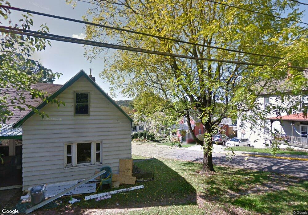
9 Pratt St Athens, OH 45701
Estimated Value: $63,000 - $160,000
2
Beds
1
Bath
694
Sq Ft
$165/Sq Ft
Est. Value
About This Home
This home is located at 9 Pratt St, Athens, OH 45701 and is currently estimated at $114,835, approximately $165 per square foot. 9 Pratt St is a home located in Athens County with nearby schools including West Elementary School, Athens Middle School, and Athens High School.
Ownership History
Date
Name
Owned For
Owner Type
Purchase Details
Closed on
Sep 6, 2017
Sold by
Wolf Robert C and Thayer Wolf Constance T
Bought by
Thayer Wolf Constance T and The Constance T Thayer Wolf Tr
Current Estimated Value
Purchase Details
Closed on
Nov 9, 2011
Sold by
Jeric Sarah
Bought by
Wolf Robert Chris
Purchase Details
Closed on
Feb 16, 1999
Sold by
Jeric Ladimir M Estate Of
Bought by
Jeric Jeffrey L Trustee
Purchase Details
Closed on
May 21, 1998
Sold by
Jeric Ladimir M
Bought by
Jeric Ladimir M Estate Of
Purchase Details
Closed on
Nov 12, 1992
Sold by
Colmer Ethel L
Bought by
Jeric Ladimir M
Create a Home Valuation Report for This Property
The Home Valuation Report is an in-depth analysis detailing your home's value as well as a comparison with similar homes in the area
Home Values in the Area
Average Home Value in this Area
Purchase History
| Date | Buyer | Sale Price | Title Company |
|---|---|---|---|
| Thayer Wolf Constance T | -- | Attorney | |
| Wolf Robert Chris | $41,800 | Secure Title Agency | |
| Jeric Jeffrey L Trustee | -- | -- | |
| Jeric Ladimir M Estate Of | -- | -- | |
| Jeric Ladimir M | -- | -- |
Source: Public Records
Tax History Compared to Growth
Tax History
| Year | Tax Paid | Tax Assessment Tax Assessment Total Assessment is a certain percentage of the fair market value that is determined by local assessors to be the total taxable value of land and additions on the property. | Land | Improvement |
|---|---|---|---|---|
| 2024 | $2,395 | $25,590 | $6,570 | $19,020 |
| 2023 | $1,294 | $25,590 | $6,570 | $19,020 |
| 2022 | $1,136 | $21,460 | $6,570 | $14,890 |
| 2021 | $1,141 | $21,460 | $6,570 | $14,890 |
| 2020 | $1,139 | $21,460 | $6,570 | $14,890 |
| 2019 | $1,062 | $20,330 | $5,890 | $14,440 |
| 2018 | $1,049 | $20,330 | $5,890 | $14,440 |
| 2017 | $1,811 | $20,330 | $5,890 | $14,440 |
| 2016 | $918 | $18,380 | $5,610 | $12,770 |
| 2015 | $1,679 | $18,380 | $5,610 | $12,770 |
| 2014 | $1,679 | $18,380 | $5,610 | $12,770 |
| 2013 | $2,344 | $26,380 | $5,610 | $20,770 |
Source: Public Records
Map
Nearby Homes
- 11 Walker St
- 12 Walker St
- 0 Roberts St
- 214 W State St
- 71 W Washington St
- 31 1st St
- 10 1st St
- 15 S Shafer St Unit 1509
- 7 Elizabeth Dr
- 56.15/15.5 Central & Clark
- 18 Clarke St
- 80 Court
- 98 Central Ave
- 193 N Lancaster St
- 17 Ring St
- 64 Franklin Ave
- 131 Grosvenor St
- 550 W Union St
- 273 E State St
- 8181 Dairy Ln