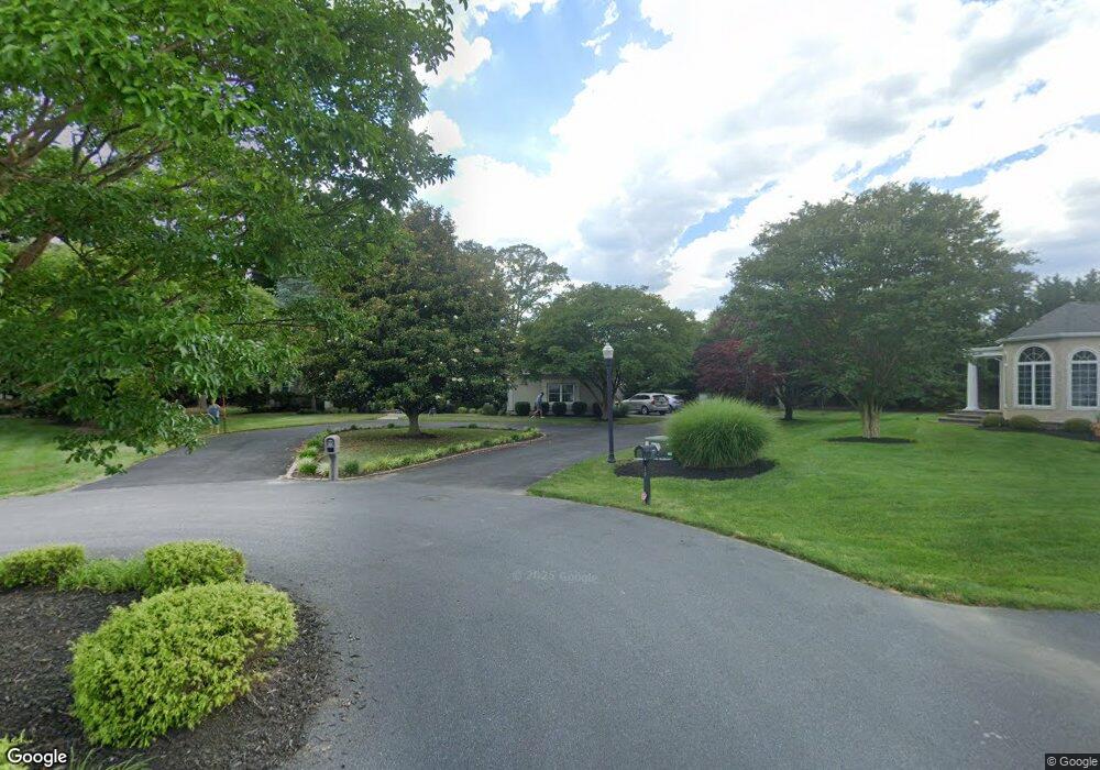
9 Queens Ct Rehoboth Beach, DE 19971
Estimated Value: $1,202,000 - $1,654,000
5
Beds
--
Bath
4,010
Sq Ft
$353/Sq Ft
Est. Value
About This Home
This home is located at 9 Queens Ct, Rehoboth Beach, DE 19971 and is currently estimated at $1,414,685, approximately $352 per square foot. 9 Queens Ct is a home with nearby schools including Rehoboth Elementary School, Mariner Middle School, and Cape Henlopen High School.
Ownership History
Date
Name
Owned For
Owner Type
Purchase Details
Closed on
Feb 15, 2016
Sold by
Delcampo Cynthia L and Delcampo Cynthia S
Bought by
Delcampo Cynthia L and Delcampo Nicholas P
Current Estimated Value
Home Financials for this Owner
Home Financials are based on the most recent Mortgage that was taken out on this home.
Original Mortgage
$425,965
Outstanding Balance
$339,241
Interest Rate
3.92%
Mortgage Type
VA
Estimated Equity
$1,075,444
Purchase Details
Closed on
Mar 22, 1995
Bought by
Delcampo Nicholas P and Delcampo Cynthia S
Create a Home Valuation Report for This Property
The Home Valuation Report is an in-depth analysis detailing your home's value as well as a comparison with similar homes in the area
Home Values in the Area
Average Home Value in this Area
Purchase History
| Date | Buyer | Sale Price | Title Company |
|---|---|---|---|
| Delcampo Cynthia L | -- | None Available | |
| Delcampo Nicholas P | -- | -- |
Source: Public Records
Mortgage History
| Date | Status | Borrower | Loan Amount |
|---|---|---|---|
| Open | Delcampo Cynthia L | $425,965 |
Source: Public Records
Tax History Compared to Growth
Tax History
| Year | Tax Paid | Tax Assessment Tax Assessment Total Assessment is a certain percentage of the fair market value that is determined by local assessors to be the total taxable value of land and additions on the property. | Land | Improvement |
|---|---|---|---|---|
| 2025 | $2,394 | $79,500 | $8,900 | $70,600 |
| 2024 | $3,418 | $79,500 | $8,900 | $70,600 |
| 2023 | $3,415 | $79,500 | $8,900 | $70,600 |
| 2022 | $3,279 | $79,500 | $8,900 | $70,600 |
| 2021 | $3,344 | $79,500 | $8,900 | $70,600 |
| 2020 | $3,332 | $79,500 | $8,900 | $70,600 |
| 2019 | $3,338 | $79,500 | $8,900 | $70,600 |
| 2018 | $3,091 | $79,500 | $0 | $0 |
| 2017 | $2,943 | $79,500 | $0 | $0 |
| 2016 | $2,676 | $79,500 | $0 | $0 |
| 2015 | $2,534 | $79,500 | $0 | $0 |
| 2014 | $3,012 | $79,500 | $0 | $0 |
Source: Public Records
Map
Nearby Homes
- 19879 Center Ave Unit 3135
- 19952 1st Ave Unit 9
- 19874 Sea Air Ave
- 19972 1st Ave Unit 1
- 36525 Palm Dr Unit 5201
- 19961 Center Ave Unit 20473
- 20061 Atlantic Ave
- 19935 Sea Air Ave Unit 3263
- 19805 Coastal Hwy Unit 222
- 19805 Coastal Hwy Unit 230
- 19805 Coastal Hwy Unit 322
- 19805 Coastal Hwy Unit 308
- 19805 Coastal Hwy Unit 315
- 19805 Coastal Hwy Unit 306
- 19805 Coastal Hwy Unit 227
- 19805 Coastal Hwy Unit 323
- 19805 Coastal Hwy Unit 221
- 19805 Coastal Hwy Unit 328
- 19805 Coastal Hwy Unit 312
- 19805 Coastal Hwy Unit 202
- 7 Queens Ct Unit 231
- 19949 Dodd Ave
- 10 Queens Ct
- 19953 Dodd Ave Unit 52386
- L 228 Queens Ct
- 5 Queens Ct
- 19958 Dodd Ave
- 19958 Dodd Ave Unit 54235
- 19917 Atlantic Ave Unit 51950
- 19917 Atlantic Ave
- 8 Queens Ct
- E-64 Atlantic Ave
- F15 Atlantic Ave Unit 52411
- F47 Atlantic Ave Unit 3062
- F59 Atlantic Ave Unit 36242
- 19967 Dodd Ave Unit 3171
- 8 Sydenham Ct
- 6 Sydenham Ct
- 19909 Atlantic Ave
- 19909 Atlantic Ave Unit 52411