9 Railroad Ave Millbury, MA 01527
Estimated Value: $1,520,236
--
Bed
--
Bath
51,072
Sq Ft
$30/Sq Ft
Est. Value
About This Home
This home is located at 9 Railroad Ave, Millbury, MA 01527 and is currently estimated at $1,520,236, approximately $29 per square foot. 9 Railroad Ave is a home located in Worcester County with nearby schools including Elmwood Street Elementary School, Raymond E. Shaw Elementary School, and Millbury Junior/Senior High School.
Ownership History
Date
Name
Owned For
Owner Type
Purchase Details
Closed on
Feb 26, 2015
Sold by
Batcheller Llc
Bought by
Railroad Avenue Props
Current Estimated Value
Home Financials for this Owner
Home Financials are based on the most recent Mortgage that was taken out on this home.
Original Mortgage
$500,000
Outstanding Balance
$382,667
Interest Rate
3.66%
Mortgage Type
Commercial
Estimated Equity
$1,137,569
Purchase Details
Closed on
Aug 13, 2007
Sold by
Beaton-Graves Pamela
Bought by
Batcheller Llc
Home Financials for this Owner
Home Financials are based on the most recent Mortgage that was taken out on this home.
Original Mortgage
$2,000,000
Interest Rate
6.72%
Mortgage Type
Commercial
Create a Home Valuation Report for This Property
The Home Valuation Report is an in-depth analysis detailing your home's value as well as a comparison with similar homes in the area
Home Values in the Area
Average Home Value in this Area
Purchase History
| Date | Buyer | Sale Price | Title Company |
|---|---|---|---|
| Railroad Avenue Props | $700,000 | -- | |
| Batcheller Llc | -- | -- |
Source: Public Records
Mortgage History
| Date | Status | Borrower | Loan Amount |
|---|---|---|---|
| Open | Railroad Avenue Props | $500,000 | |
| Previous Owner | Batcheller Llc | $2,000,000 |
Source: Public Records
Tax History Compared to Growth
Tax History
| Year | Tax Paid | Tax Assessment Tax Assessment Total Assessment is a certain percentage of the fair market value that is determined by local assessors to be the total taxable value of land and additions on the property. | Land | Improvement |
|---|---|---|---|---|
| 2025 | $22,740 | $1,698,300 | $267,400 | $1,430,900 |
| 2024 | $20,538 | $1,552,400 | $267,400 | $1,285,000 |
| 2023 | $22,575 | $1,562,300 | $267,400 | $1,294,900 |
| 2022 | $23,435 | $1,562,300 | $267,400 | $1,294,900 |
| 2021 | $24,106 | $1,562,300 | $267,400 | $1,294,900 |
| 2020 | $6,986 | $1,231,500 | $267,400 | $964,100 |
| 2019 | $9,133 | $1,093,700 | $179,300 | $914,400 |
| 2018 | $6,546 | $1,132,200 | $179,300 | $952,900 |
| 2017 | $18,586 | $1,131,200 | $179,300 | $951,900 |
| 2016 | $5,687 | $1,131,200 | $179,300 | $951,900 |
| 2015 | $18,620 | $1,131,200 | $179,300 | $951,900 |
| 2014 | $17,256 | $1,009,100 | $179,200 | $829,900 |
Source: Public Records
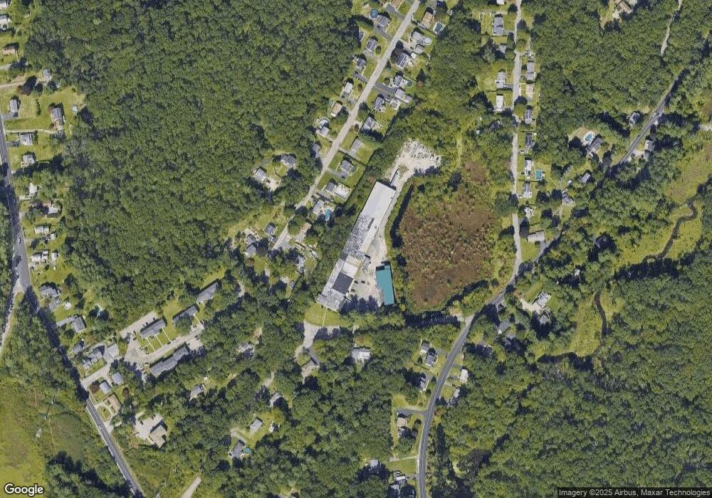
Map
Nearby Homes
- 123 Riverlin St
- 64 Millbury Ave
- 15 Rayburn Dr
- 90 Macarthur Dr
- 17 Atwood Ave
- 52 Clearview Terrace Unit 39
- 16 Jackie Dr
- 20 Woodridge Rd
- 12 Alstead Path
- 30 Lexington Rd
- 40 River St
- 19 Rice Rd
- 4 Thomas Hill Rd
- Lot 1 Cooper Rd
- 15 Clearview Terrace Unit 68
- 2 Diane St
- 8 Autumn Gate Cir
- 86 Wheelock Ave
- 16 Elm Ct
- 10 Leslie Ln